|
| *****SWAAG_ID***** | 545 |
| Date Entered | 06/06/2012 |
| Updated on | 06/06/2012 |
| Recorded by | Stephen Eastmead |
| Category | Standing Stones / Circles |
| Record Type | Archaeology |
| SWAAG Site Name | |
| Site Type | |
| Site Name | |
| Site Description | |
| Site Access | Public Access Land |
| Record Date | 06/06/2012 |
| Location | Mudbeck |
| Civil Parish | Arkengarthdale |
| Brit. National Grid | NY 95304 07707 |
| Altitude | 397M |
| Geology | |
| Record Name | Mudbeck West cairn / stone circle |
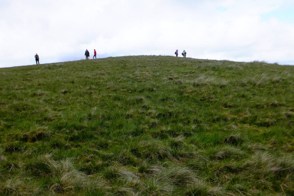
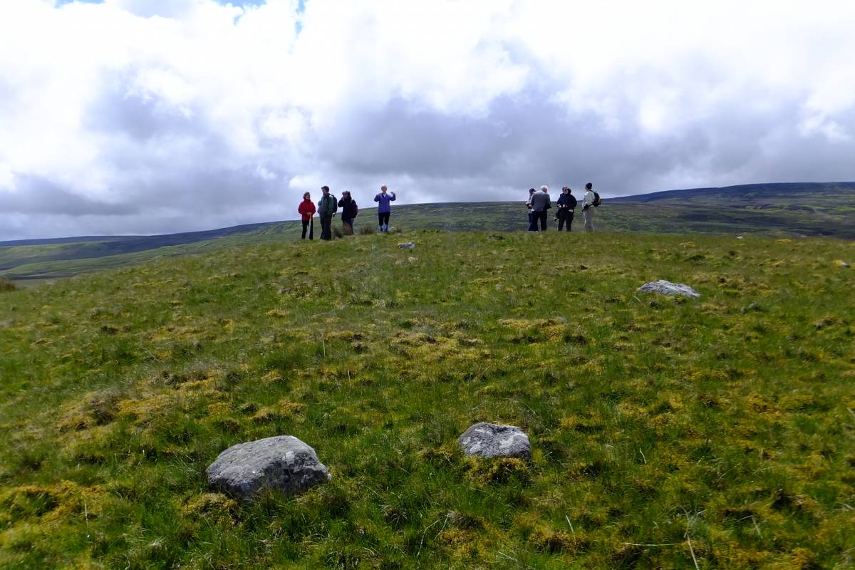
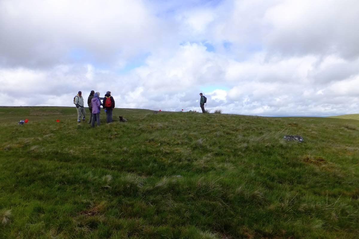
| Record Description | This site is approximately 200m nearly due west of the Mudbeck stone circle. It is situated on top of a terminal moraine knoll and is about 12m higher than the Mudbeck circle. At the centre of the feature are a group of 5 stones which could be the remnants of a cairn. Surrounding the cairn there is evidence of a series of stones that may form a stone circle, although the site appears to be slightly ovoid. Approximate size (pacing) appears to be in the order of 25 x 30 metres. There are a number of surrounding features / stones which appears to add to the site's complexity.
The site needs to be further investigated including a GPS survey. |
| Dimensions | |
| Geographical area | |
| Species | |
| Scientific Name | |
| Common / Notable Species | |
| Tree and / or Stem Girth | |
| Tree: Position / Form / Status | |
| Tree Site ID | 0 |
| Associated Site SWAAG ID | 0 |
| Additional Notes | This new site was found by SWAAG members lead by Shirley Gale |
| Image 1 ID | 3073 Click image to enlarge |
| Image 1 Description | Site on top of the knoll | 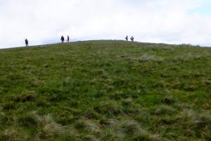 |
| Image 2 ID | 3074 Click image to enlarge |
| Image 2 Description | | 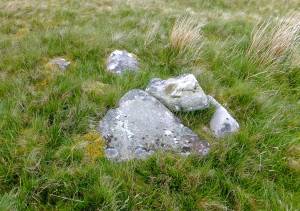 |
| Image 3 ID | 3075 Click image to enlarge |
| Image 3 Description | |  |
| Image 4 ID | 3076 Click image to enlarge |
| Image 4 Description | | 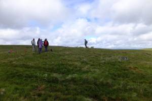 |
| Image 5 ID | 3077 Click image to enlarge |
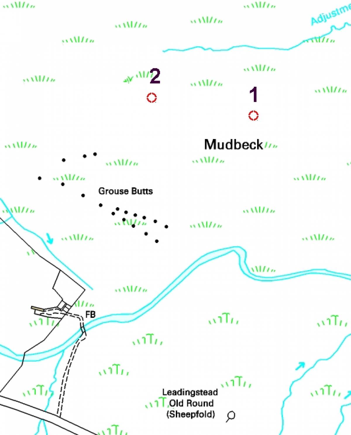
| Image 5 Description | 1 = Mudbeck Circle
2 = Mudbeck West Site
©Crown copyright and database rights 2011 Ordnance Survey 1000237401, kindly supplied by the North Yorkshire Dales National Park Authority. | 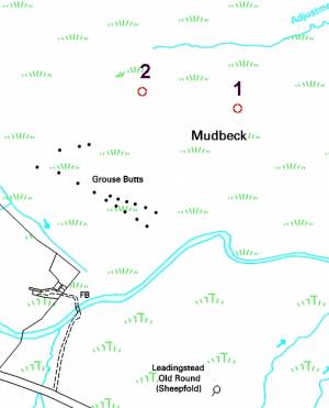 |