|
| *****SWAAG_ID***** | 669 |
| Date Entered | 05/01/2013 |
| Updated on | 05/01/2013 |
| Recorded by | Tim Laurie |
| Category | Burial Mounds and Cairns |
| Record Type | Archaeology |
| SWAAG Site Name | |
| Site Type | |
| Site Name | |
| Site Description | |
| Site Access | |
| Record Date | 10/12/2010 |
| Location | Piercebridge. Cliff Park. |
| Civil Parish | Not known |
| Brit. National Grid | NZ 208 152 |
| Altitude | 80 |
| Geology | Drift over Permian magnesian limestone, south of the Tees. |
| Record Name | Piercebridge, Cliff Park. Round Barrow Site A |
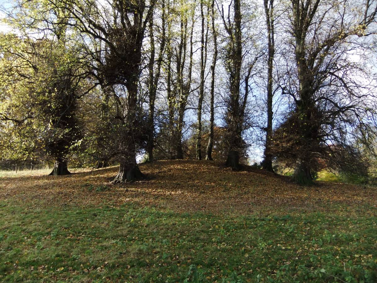
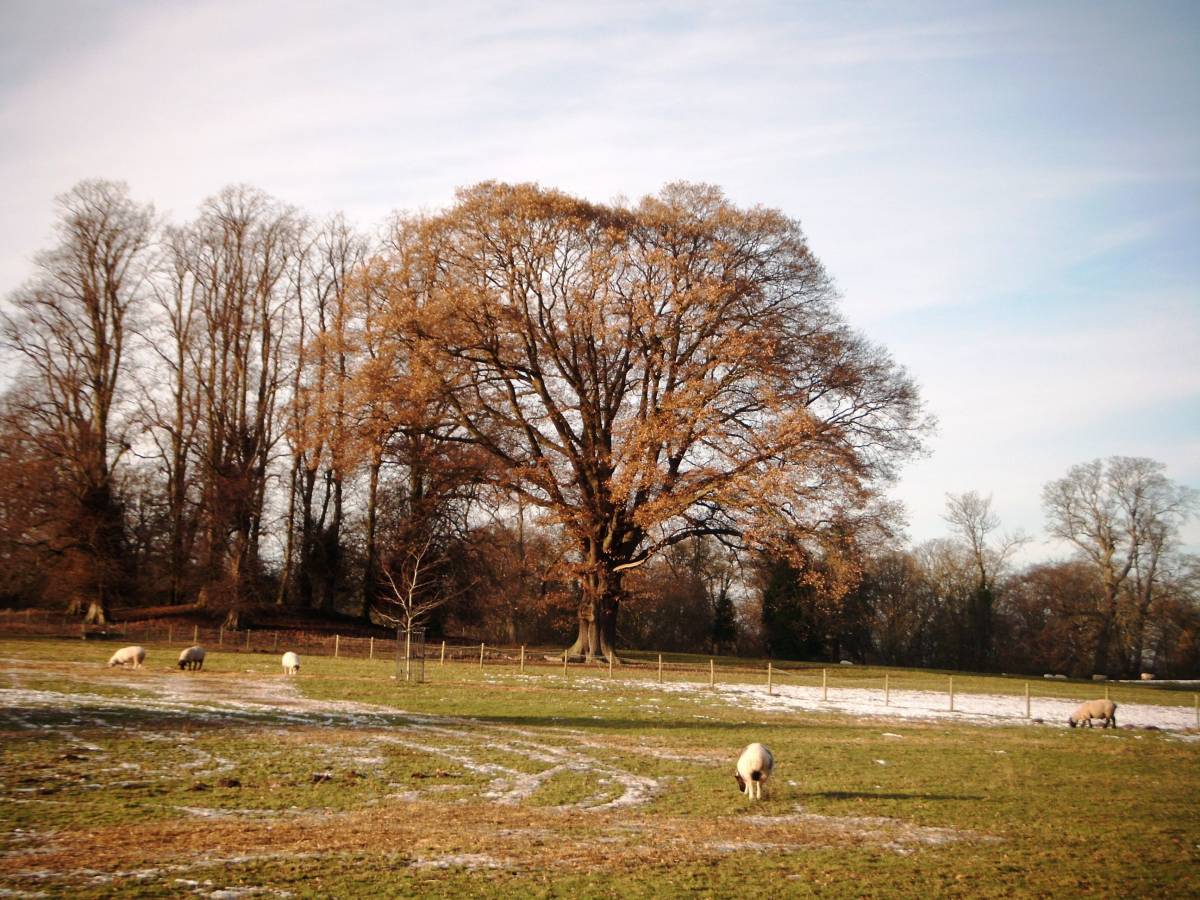
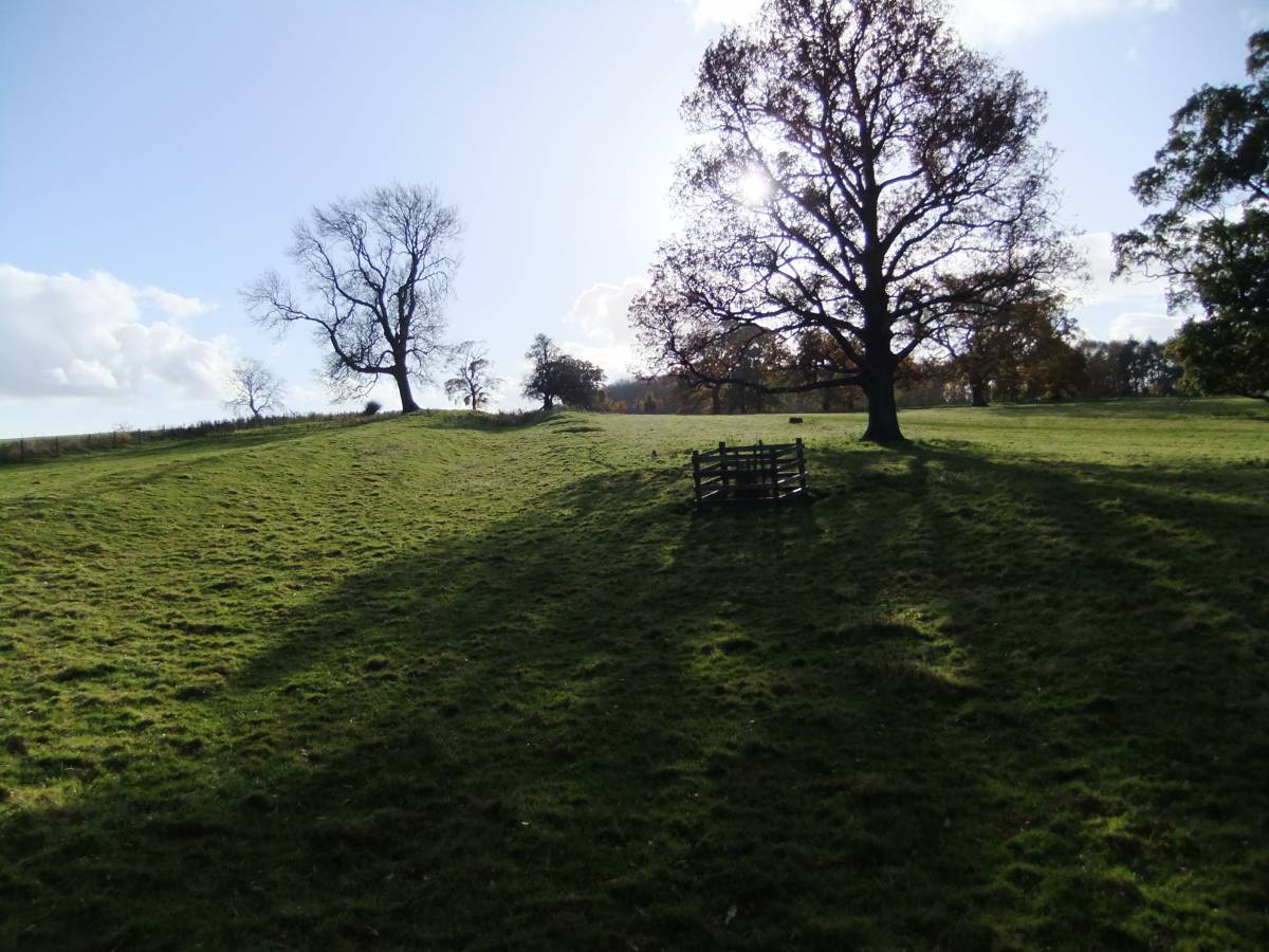
| Record Description | Round barrow, one of two in Cliffe Park, visible as a circular and undisturbed turf covered mound 30m diameter and 2.15m high beneath mature planted lime trees.
Reference:Young, R. 1980. An Inventory of Barrows in Co. Durham. Trans. Arch. and Archaeol. Soc. of Durham and Northumberland.1-16. |
| Dimensions | 30m diameter and 2.15m high. |
| Geographical area | |
| Species | |
| Scientific Name | |
| Common / Notable Species | |
| Tree and / or Stem Girth | |
| Tree: Position / Form / Status | |
| Tree Site ID | 0 |
| Associated Site SWAAG ID | 0 |
| Additional Notes | This record is the first of at least 12 records of round barrows, several of which may not have been recorded previously, located on bluffs and river terraces close to or overlooking the River Tees and R. Tees tributary streams upstream from Piercebridge. |
| Image 1 ID | 3914 Click image to enlarge |
| Image 1 Description | Cliffe Park. Round Barrow Site A. | 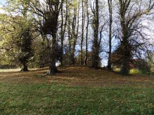 |
| Image 2 ID | 3912 Click image to enlarge |
| Image 2 Description | Cliffe Park. Round Barrow Site A photographed from the hollow way leads south from the bridge across the Tees and Piercebridge Roman Fort. | 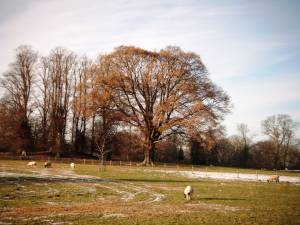 |
| Image 3 ID | 3913 Click image to enlarge |
| Image 3 Description | | 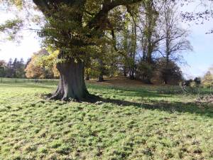 |
| Image 4 ID | 3915 Click image to enlarge |
| Image 4 Description | | 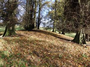 |
| Image 5 ID | 3916 Click image to enlarge |
| Image 5 Description | The hollow way leading south from Piercebridge Roman Fort. Towards Stanwick. | 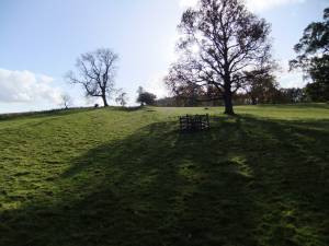 |