|
| *****SWAAG_ID***** | 673 |
| Date Entered | 10/01/2013 |
| Updated on | 10/01/2013 |
| Recorded by | Tim Laurie |
| Category | Burial Mounds and Cairns |
| Record Type | Archaeology |
| SWAAG Site Name | |
| Site Type | |
| Site Name | |
| Site Description | |
| Site Access | Private |
| Record Date | 01/01/2012 |
| Location | Rokeby Park. Greta Bridge.Teesdale. |
| Civil Parish | Not known |
| Brit. National Grid | |
| Altitude | 130 |
| Geology | River terrace. |
| Record Name | Rokeby Park. Three aligned round barrow mounds as seen from the track to The Meeting of the Waters and Mortham Tower. |
| Record Description | These three mounds are all visible from the unsurfaced Right of Way track leading to the Meeting of the Waters and Mortham. The three mounds are recorded here as round barrows (probable burial mounds of uncertain but likely bronze age date) on grounds that they are identical to other round barrows located on river terraces and on bluffs which overlook the River Tees, see Young 1980 and other SWAAG Records.
The mounds are low and entirely grass covered, the central mound only has young planted trees.Not included within the list of barrows as Young, R. 1980. 'An Inventory of Barrows in Co. Durham. Trans. Arch. and Archaeol. Soc. of Durham and Northumberland.1-16'. These three mounds are the fifth site record of a total of 12 similar round barrows located close to the Tees and the Tees tributaries. |
| Dimensions | Three similar mounds each around 15- 20m diameter. |
| Geographical area | |
| Species | |
| Scientific Name | |
| Common / Notable Species | |
| Tree and / or Stem Girth | |
| Tree: Position / Form / Status | |
| Tree Site ID | 0 |
| Associated Site SWAAG ID | 0 |
| Additional Notes | Not seen at close quarters. These low mounds within Rokeby Park are not necessarily of bronze age date, they could be roman since the existence of a Roman Shrine on the bank of the Tees immediately below the Meeting of the Waters and the proximity to the river crossing and the Roman Fort at Greta Bridge all point towards intensive Roman activity at this delectable locality, famous for the quality of the scenery of the two rivers, Tees and Greta. |
| Image 1 ID | 3936 Click image to enlarge |
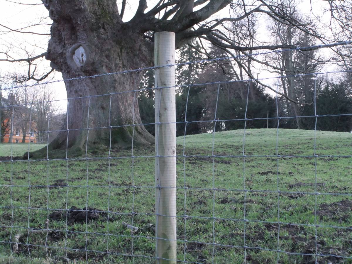
| Image 1 Description | The eastern mound is to the right of the tree. Rokeby Hall in distance. | 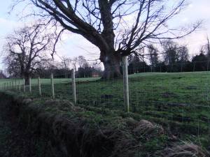 |
| Image 2 ID | 3937 Click image to enlarge |
| Image 2 Description | The eastern mound, to the right of the large sycamore tree. Detail. | 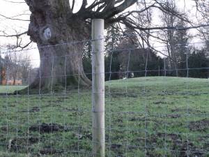 |
| Image 3 ID | 3938 Click image to enlarge |
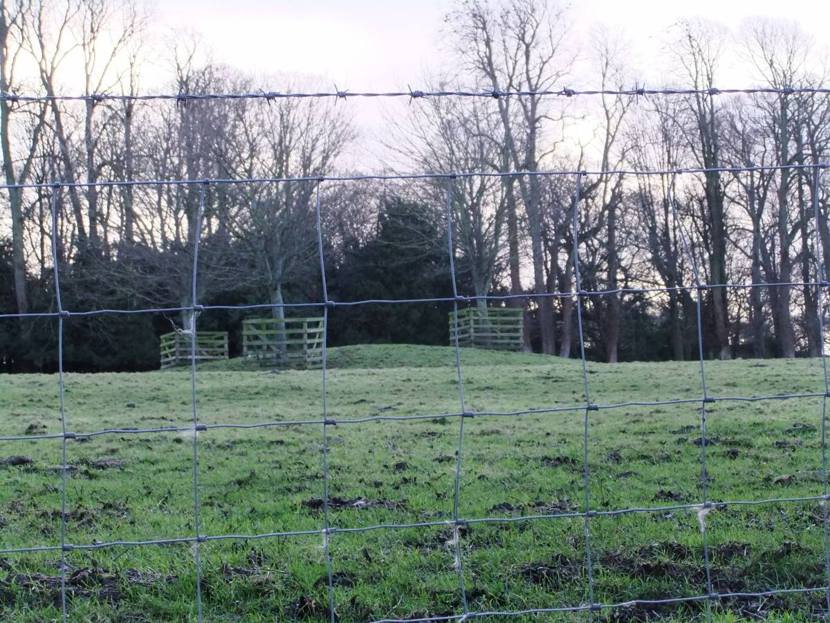
| Image 3 Description | The central mound. Young trees have been planted on this mound. | 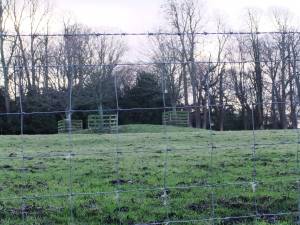 |
| Image 4 ID | 3939 Click image to enlarge |
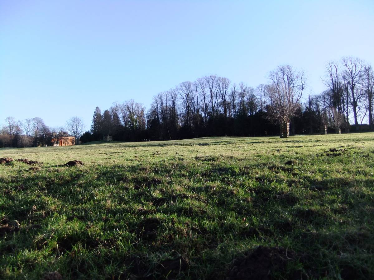
| Image 4 Description | All three mounds are just visible on this photo and appear to be aligned on the Meeting of the Waters. The eastern mound on the extreme left. the central mound is to the left but just to the right of Rokeby House and the western mound is just visible in front of the plantation. | 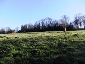 |
| Image 5 ID | 3940 Click image to enlarge |
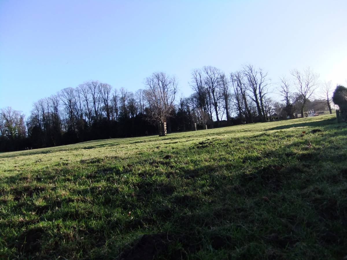
| Image 5 Description | The western mound is very low and can be discerned in the mid distance close to the plantation- closer to the main road which can also just be seen. | 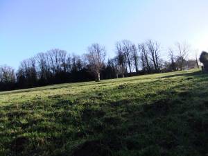 |