|
| *****SWAAG_ID***** | 675 |
| Date Entered | 13/01/2013 |
| Updated on | 14/01/2013 |
| Recorded by | Tim Laurie |
| Category | Burnt Mound |
| Record Type | Archaeology |
| SWAAG Site Name | |
| Site Type | |
| Site Name | |
| Site Description | |
| Site Access | Public Footpath |
| Record Date | 12/01/2013 |
| Location | Straw Beck Spring |
| Civil Parish | Muker |
| Brit. National Grid | SD 9035 9774 |
| Altitude | 270m |
| Geology | Spring Rise below the Hardraw Scar Limestone. |
| Record Name | Two Burnt Mounds (one definite, one probable) at Straw Beck Spring. |
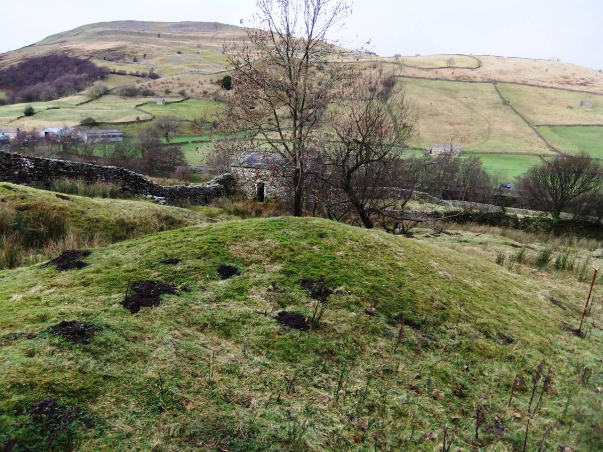
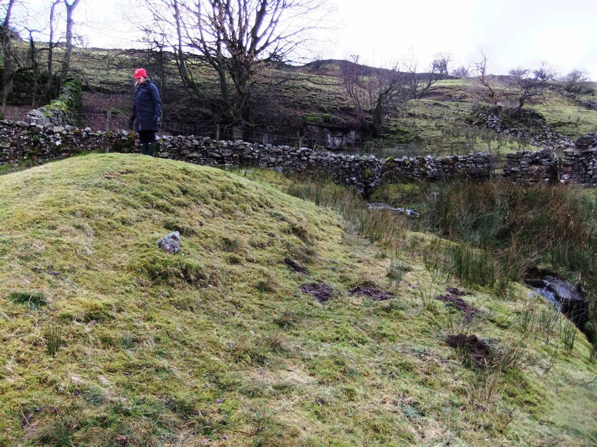
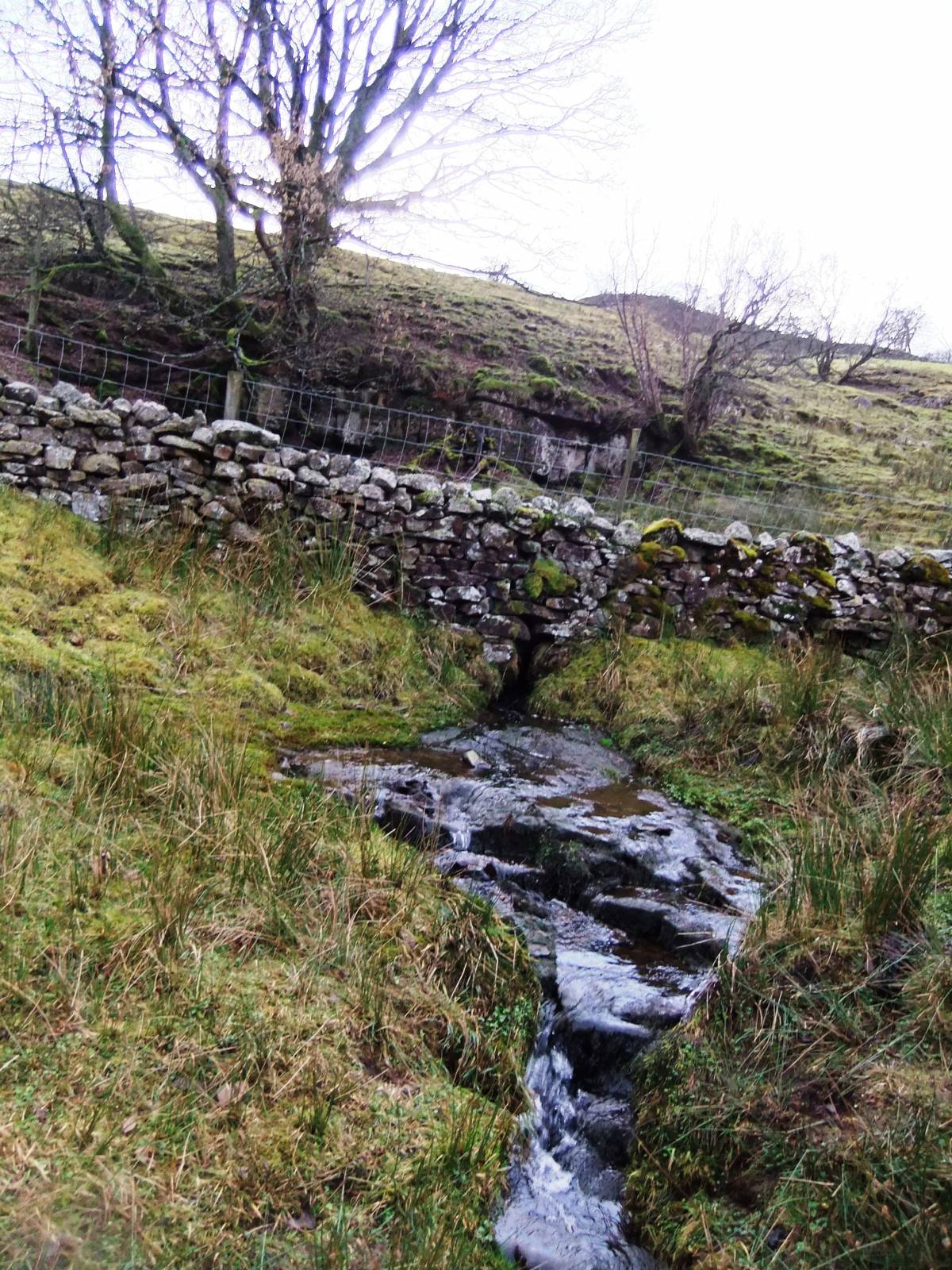
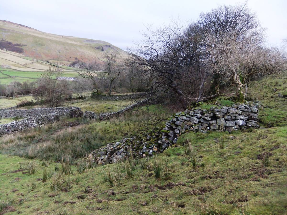
| Record Description | large burnt mound visible today as a prominent turf covered mound measuring 9.5m*8.5m and 1.25m high overall. This burnt mound is located on the eastern bank of a stream just 20m below the spring which rises from below a low cliff exposure of the Hardraw Scar Limestone, see photos. This burnt mound has probably been reduced in size by stream erosion, or by quarrying for an adjacent track.
Several fragments of burnt and fire cracked stone found in molehills on this mound. A second smaller mound is located directly opposite, on the western bank which is likely to be a burnt mound on grounds of its similar general appearance, however no burnt stone has been found to confirm this smaller mound. |
| Dimensions | |
| Geographical area | |
| Species | |
| Scientific Name | |
| Common / Notable Species | |
| Tree and / or Stem Girth | |
| Tree: Position / Form / Status | |
| Tree Site ID | 0 |
| Associated Site SWAAG ID | 0 |
| Additional Notes | This burnt mound is one of very few such sites located on the lower dale slopes close to the River Swale. The nearest burnt mounds to this are located at around 360m elevation close to Three Loaning End (see SWAAG Record Nos and ). |
| Image 1 ID | 3942 Click image to enlarge |
| Image 1 Description | The burnt mound photographed from the east. | 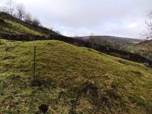 |
| Image 2 ID | 3943 Click image to enlarge |
| Image 2 Description | The burnt mound photographed from the south. Kisdon in distance. | 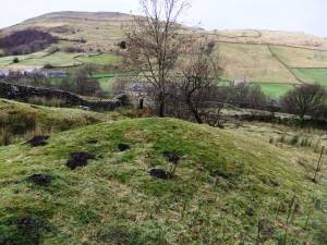 |
| Image 3 ID | 3944 Click image to enlarge |
| Image 3 Description | Burnt and fire fractured stone from molehills. | 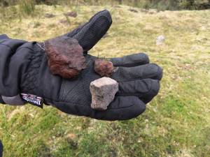 |
| Image 4 ID | 3945 Click image to enlarge |
| Image 4 Description | View from burnt mound towards the spring rise at base of cliff above modern wall |  |
| Image 5 ID | 3946 Click image to enlarge |
| Image 5 Description | View from burnt mound towards the spring rise at base of cliff above modern wall |  |
| Image 6 ID | 3947 Click image to enlarge |
| Image 6 Description | The spring stream. Crossed by trackway. | 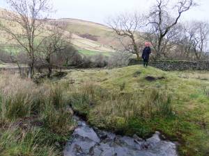 |
| Image 7 ID | 3948 Click image to enlarge |
| Image 7 Description | Probable mound, nearer and definite mound, further. The stream runs between both these mounds. | 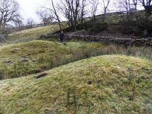 |
| Image 8 ID | 3954 Click image to enlarge |
| Image 8 Description | The burnt mound seen from nearby ruined limekiln. | 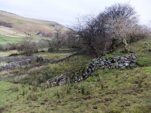 |