|
| *****SWAAG_ID***** | 682 |
| Date Entered | 25/01/2013 |
| Updated on | 25/01/2013 |
| Recorded by | Tim Laurie |
| Category | Burial Mounds and Cairns |
| Record Type | Archaeology |
| SWAAG Site Name | |
| Site Type | |
| Site Name | |
| Site Description | |
| Site Access | Private |
| Record Date | 26/02/2007 |
| Location | Melbecks CP. Barney Beck. West bank below Barney Beck High Bridge. |
| Civil Parish | Melbecks |
| Brit. National Grid | SE 013 988 |
| Altitude | 200m |
| Geology | Drift over Hardraw Scar Limestone. |
| Record Name | Round barrow on south side of Barney Beck below Barney Beck High Bridge |
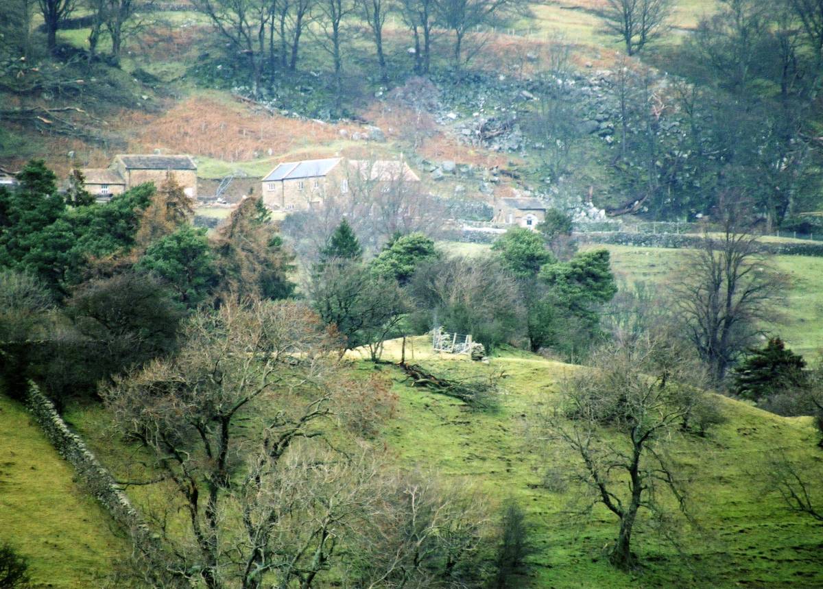
| Record Description | Round barrow some 20m diameter and 2m high on bluff above the confluence of Barney Beck with The Swale. Undisturbed. |
| Dimensions | 20m diameter and 2m high approximately |
| Geographical area | |
| Species | |
| Scientific Name | |
| Common / Notable Species | |
| Tree and / or Stem Girth | |
| Tree: Position / Form / Status | |
| Tree Site ID | 0 |
| Associated Site SWAAG ID | 0 |
| Additional Notes | The location of this round barrow on a bluff at the confluence of Barney Beck with the Swale is characteristic for burial mounds both in Swaledale and in Teesdale, see other records on this database. |
| Image 1 ID | 4001 Click image to enlarge |
| Image 1 Description | Round barrow at confluence of Barney Beck with the Swale. Daggerstones House in background.Photographed from the opposite bank of the Swale. |  |