|
| *****SWAAG_ID***** | 244 |
| Date Entered | 29/06/2011 |
| Updated on | 26/08/2012 |
| Recorded by | Tim Laurie |
| Category | Geological Record |
| Record Type | Geomorphology |
| SWAAG Site Name | |
| Site Type | |
| Site Name | |
| Site Description | |
| Site Access | |
| Record Date | 27/06/2011 |
| Location | Ravenseat Moor. Hoods Bottom Beck. Waterfalls at Graining Scars. |
| Civil Parish | Muker |
| Brit. National Grid | NY 86551 04732 |
| Altitude | 475m |
| Geology | Waterfalls with plunge pools. Hard Namurian Sandstones over soft mudstone strata of considerable thickness undercut by Hoods Bottom Beck. |
| Record Name | Waterfalls on Hoods Bottom Beck at Graining Scars |
| Record Description | Three fine waterfalls and plunge pools with well exposed Namurian sandstones and mudstones
below the Lower Howgate Edge Grit.
Keen eyed botanists may notice the isolated cloned stand of aspens to the left of the Lower falls. |
| Dimensions | See photos |
| Geographical area | |
| Species | |
| Scientific Name | |
| Common / Notable Species | |
| Tree and / or Stem Girth | |
| Tree: Position / Form / Status | |
| Tree Site ID | 0 |
| Associated Site SWAAG ID | 0 |
| Additional Notes | Surprisingly these waterfalls on Hoods Bottom Beck have no name on the 1:25000 OS Map Hoods Bottom Beck Falls seems the most appropriate.
Who was Mr Hood? He appears to have been influential
in remote locations since there is a Hoods Edge and Hoods Hills at the head of Stonesdale. |
| Image 1 ID | 880 Click image to enlarge |
| Image 1 Description | The Lower Falls | 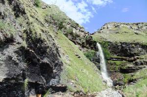 |
| Image 2 ID | 881 Click image to enlarge |
| Image 2 Description | | 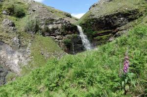 |
| Image 3 ID | 882 Click image to enlarge |
| Image 3 Description | | 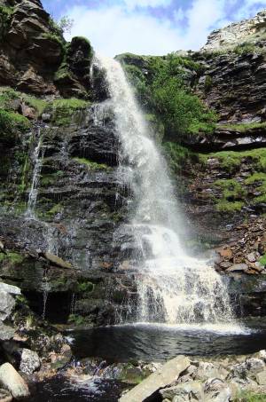 |
| Image 4 ID | 883 Click image to enlarge |
| Image 4 Description | | 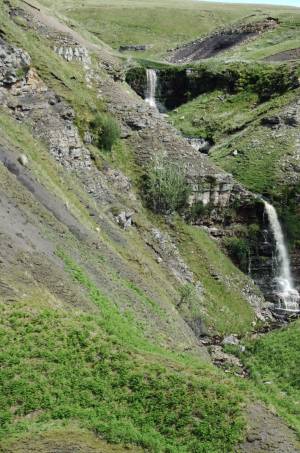 |
| Image 5 ID | 884 Click image to enlarge |
| Image 5 Description | The Upper Falls | 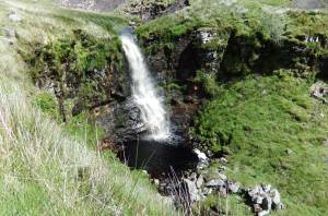 |


