|
| *****SWAAG_ID***** | 228 |
| Date Entered | 19/06/2011 |
| Updated on | 19/06/2011 |
| Recorded by | Tim Laurie |
| Category | Settlement |
| Record Type | Archaeology |
| SWAAG Site Name | |
| Site Type | |
| Site Name | |
| Site Description | |
| Site Access | Public Footpath |
| Record Date | 29/03/2011 |
| Location | East Applegarth. \'Fort\' below Willance\'s Leap |
| Civil Parish | Richmond |
| Brit. National Grid | NZ 137 019 |
| Altitude | 220m |
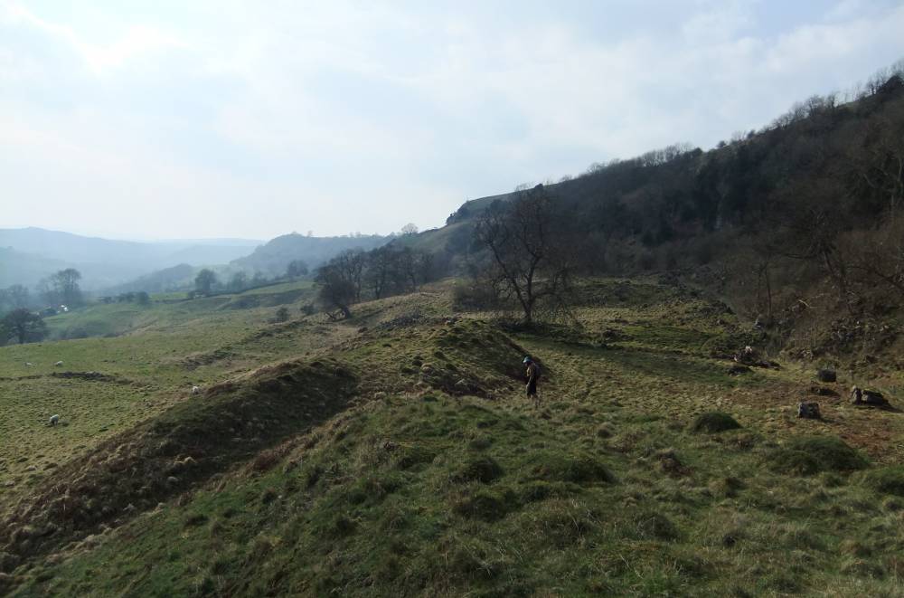
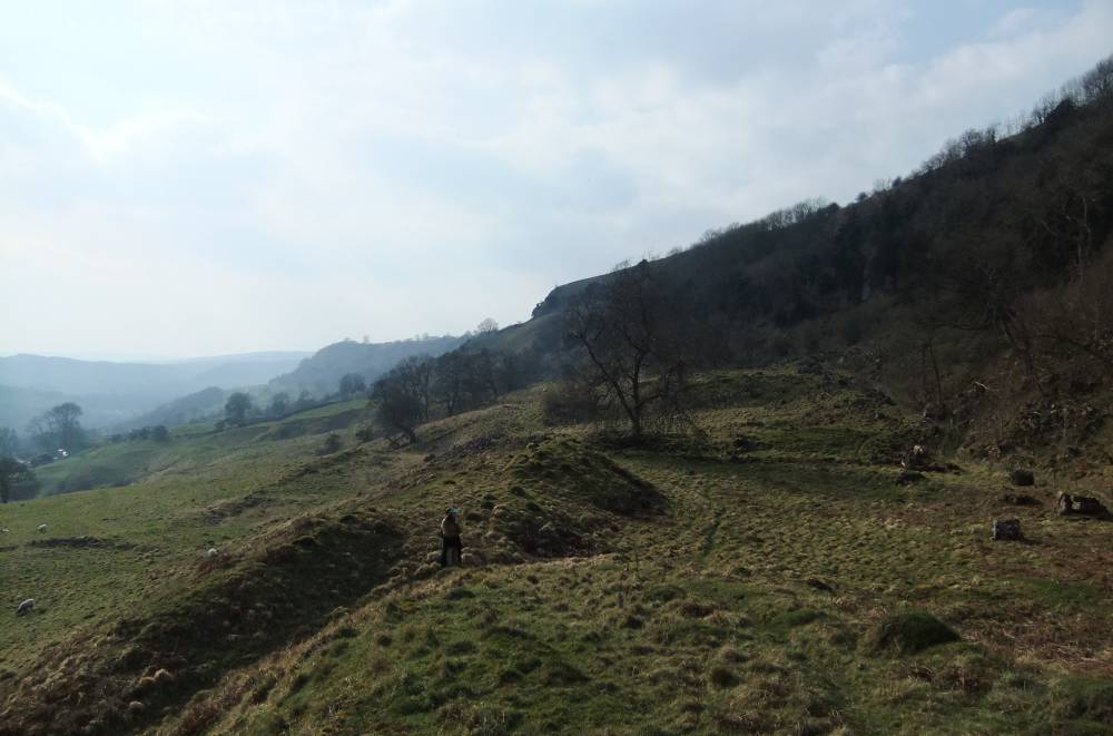
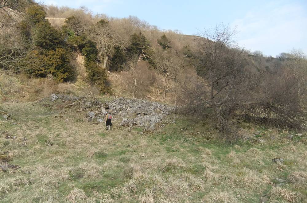
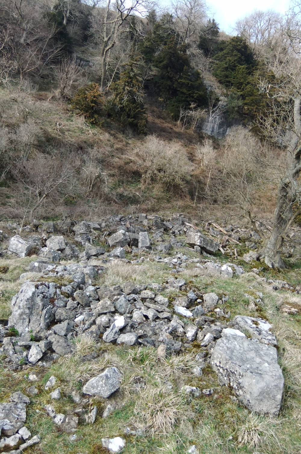
| Geology | Kame terrace below sheer cliff formed by the Underset Limestone. Prominant protalus rampart visible at the front edge of this kame terrace may have been removed on the southern edge of the 'fort'. This feature has been penetrated by a deep hollow way which forms the eastern approach to the settlement. |
| Record Name | Defended settlement below Willance's Leap. |
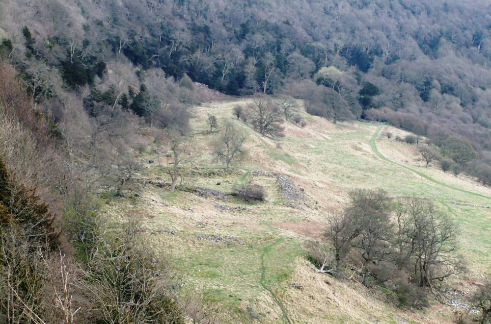
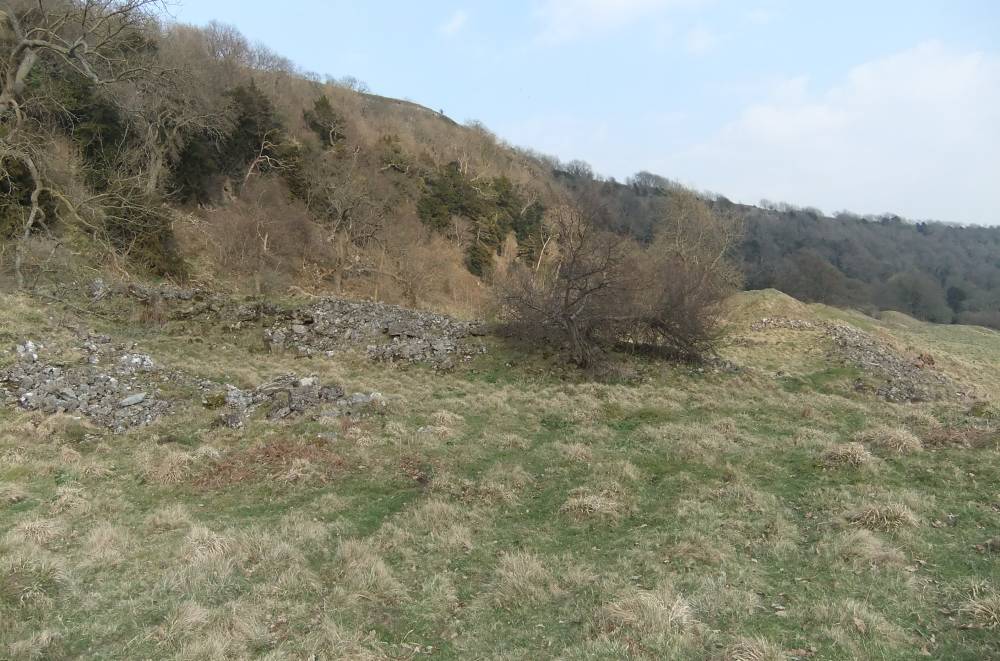
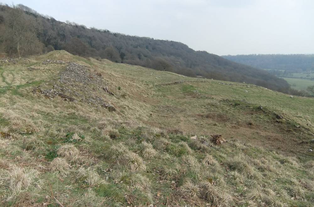
| Record Description | Rectangular settlement, described as a 'fort' on the OS map, defined by massive stone dump banks on the east and western sides and by a substantially slighter faced stone wall on the front or southern edge of the terrace. The present scree slope forms the rear or northern side.
At least one stone founded round house is clearly visible at the front of the enclosure together with several other stone walled structures which may be house enclosures or stock pens.
The outstanding features of this site are the massive stone banks on the eat and western sides.
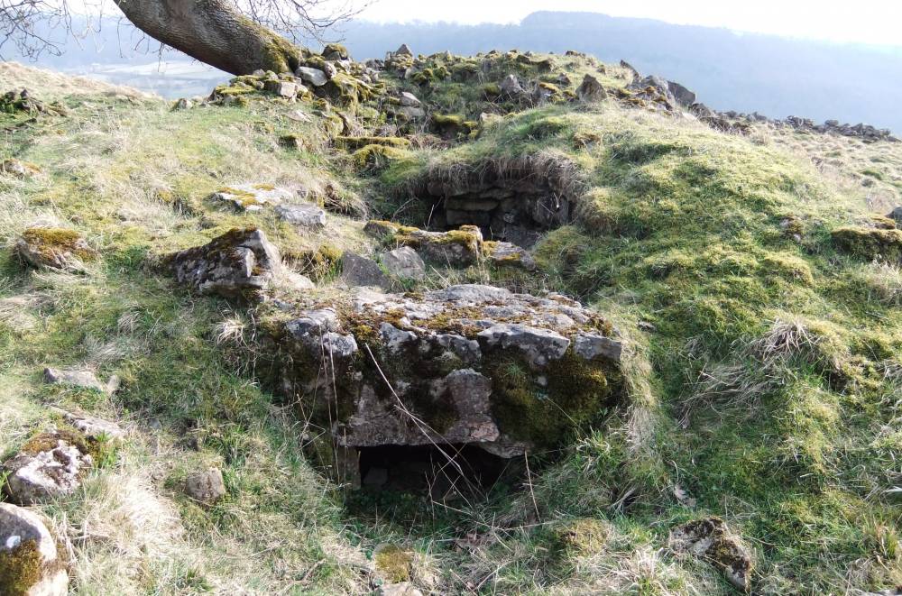
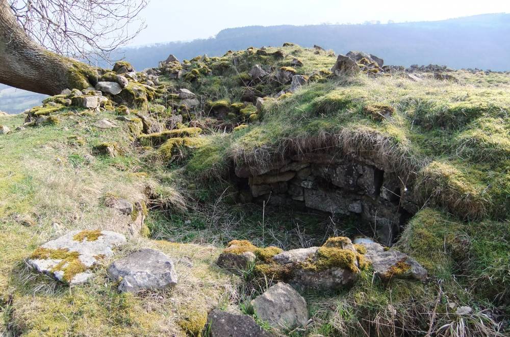
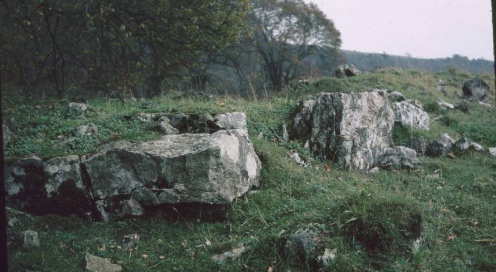
Two beehive structures within the eastern bank have collapsed and are visible although infilled with rubble and domestic rubbish.Other similar features may exist within the undisturbed remaining section of the eastern bank.
The massive western bank almost certainly contains further undisturbed bewhive structures.
This is a photographic portrait of the site which was excavated in the 19th C. but very little evidence of this excavation survives. The finds were said to be characteristic of
domestic occupation of Roman date.
The stone founded structures are the final abandonment phase of occupation. There may well be earlier timber structures on the site which have left no surface trace.
A series of enclosed fields bounded by massive face stone walls are
evident to the east and to the west and below the settlement enclosure.
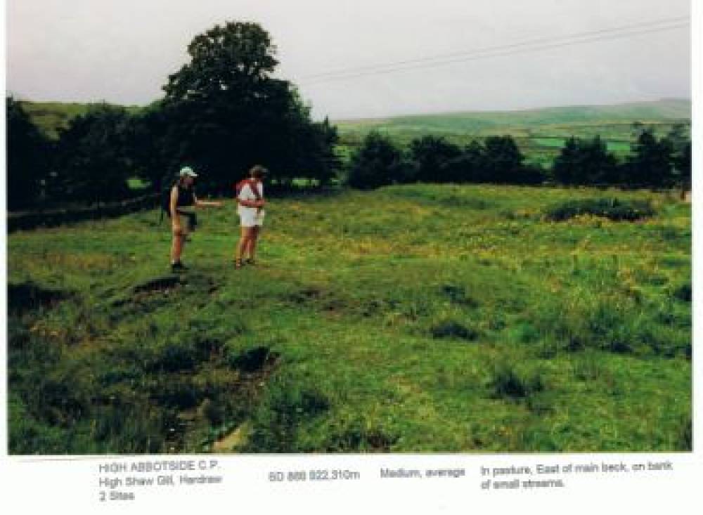
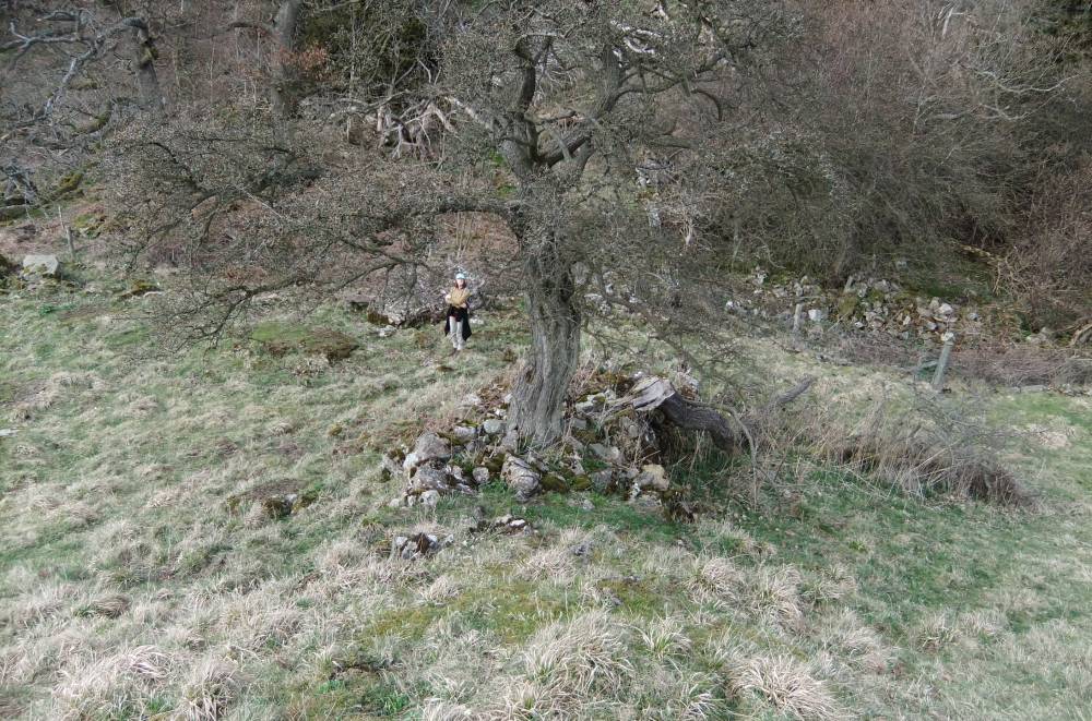
Until dutch elm disease killed the trees, the site was in mature woodland, see photo taken 25 years ago.
|
| Dimensions | See photographs. |
| Geographical area | |
| Species | |
| Scientific Name | |
| Common / Notable Species | |
| Tree and / or Stem Girth | |
| Tree: Position / Form / Status | |
| Tree Site ID | 0 |
| Associated Site SWAAG ID | 0 |
| Additional Notes | There is rumour that this site may have been a work camp or 'Gulag' for slave miners close to the rich lead veins, the surface workings of which cut Whitcliffe Scar to the west and which are visible at the head of Deepdale. However this site is more probably a high status farmstead settlement and the beehive structures probably cold stores rather than prison cells! |
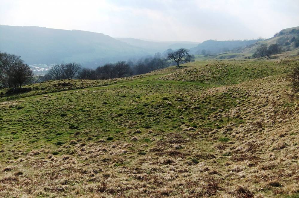
| Image 1 ID | 807 Click image to enlarge |
| Image 1 Description | The settlement terrace seen from high ground to the west of the enclosure | 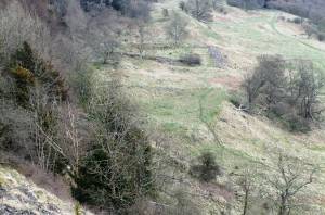 |
| Image 2 ID | 808 Click image to enlarge |
| Image 2 Description | The settlement terrace seen from high ground to the west of the enclosure |  |
| Image 3 ID | 809 Click image to enlarge |
| Image 3 Description | The settlement and hollow way entrance which cuts the glacial moraine protalus ramart to the east of the enclosure. | 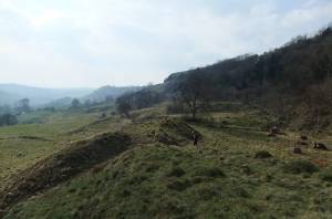 |
| Image 4 ID | 810 Click image to enlarge |
| Image 4 Description | As last | 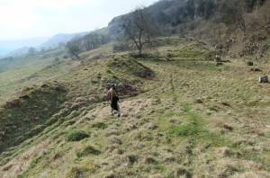 |
| Image 5 ID | 812 Click image to enlarge |
| Image 5 Description | The settlement as seen from the eastern enclosures. | 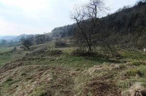 |
| Image 6 ID | 813 Click image to enlarge |
| Image 6 Description | The south eastern corner of the settlement with early field system below. | 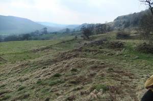 |
| Image 7 ID | 814 Click image to enlarge |
| Image 7 Description | Settlement and hollow way from the east. | 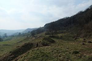 |
| Image 8 ID | 815 Click image to enlarge |
| Image 8 Description | Collapsed beehive structure with very large lintol over creep entrance passage. | 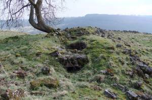 |
| Image 9 ID | 816 Click image to enlarge |
| Image 9 Description | Collapsed beehive structure with very large lintol over creep entrance passage. |  |
| Image 10 ID | 817 Click image to enlarge |
| Image 10 Description | Collapsed beehive structure with very large lintol over creep entrance passage. | 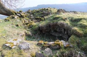 |
| Image 11 ID | 819 |
| Image 11 Description | The massive western bank. | 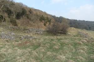 |
| Image 12 ID | 818 |
| Image 12 Description | The massive western bank. | 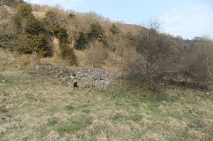 |
| Image 13 ID | 820 |
| Image 13 Description | Historical image of the settlement before the elm trees died from Dutch Elm Disease | 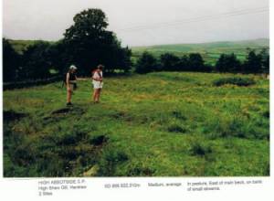 |
| Image 14 ID | 821 |
| Image 14 Description | Front of the settlement with enclosures below. |  |
| Image 15 ID | 822 |
| Image 15 Description | View of the 'fort' from the west with coast to coast footpath below. | 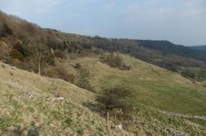 |
| Image 16 ID | 823 |
| Image 16 Description | Early enclosure wall. Detail showing large orthostat facings at corner. |  |
| Image 17 ID | 824 |
| Image 17 Description | Early enclosure wall crosing the terrace to the east of the settlement revetted by very large slabs set on edge (Orthostats). |  |
| Image 18 ID | 825 |
| Image 18 Description | Early enclosure wall crossing the terrace west of the settlement at least two metres wide with faced edges and rubble fill | 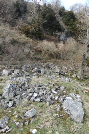 |
| Image 19 ID | 826 |
| Image 19 Description | Stone walled enclosures cross the terrace to the east of the settlement. | 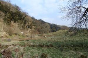 |
| Image 20 ID | 827 |
| Image 20 Description | Large round house platform located just 5m from the side of the coast to coast footpath! | 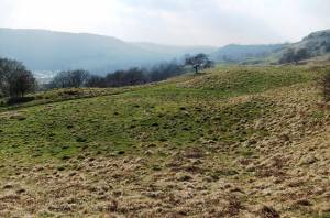 |