|
| *****SWAAG_ID***** | 231 |
| Date Entered | 21/06/2011 |
| Updated on | 21/06/2011 |
| Recorded by | Tim Laurie |
| Category | Burnt Mound |
| Record Type | Archaeology |
| SWAAG Site Name | |
| Site Type | |
| Site Name | |
| Site Description | |
| Site Access | Public Access Land |
| Record Date | 20/11/2011 |
| Location | Wensleydale, Bishopdale, Dale Head |
| Civil Parish | Bishopdale |
| Brit. National Grid | SD 95599 80996 |
| Altitude | 386m |
| Geology | Spring Flush. Drift over shales. |
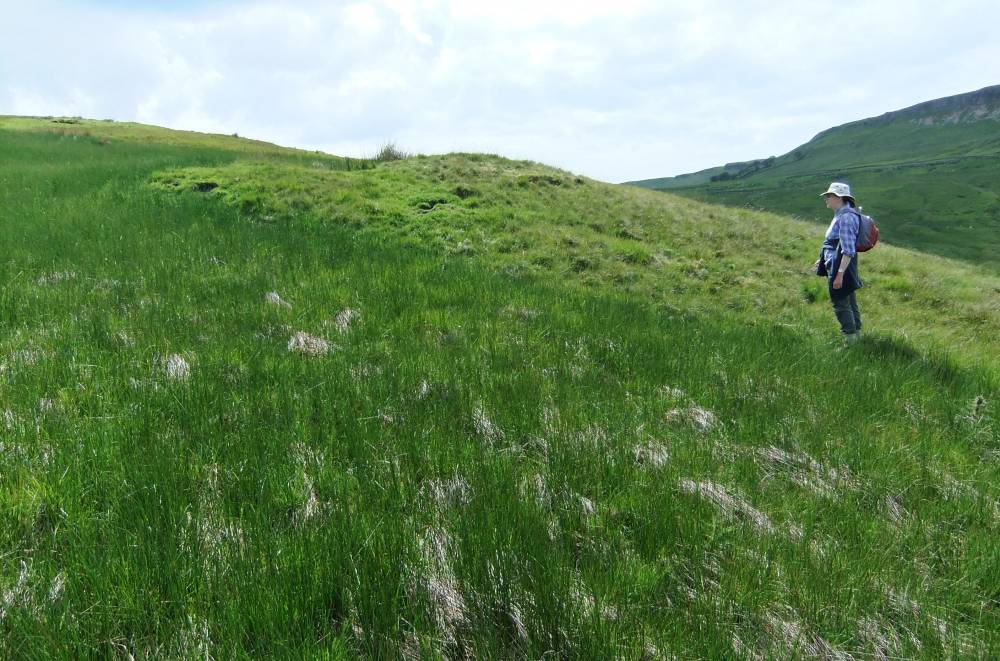
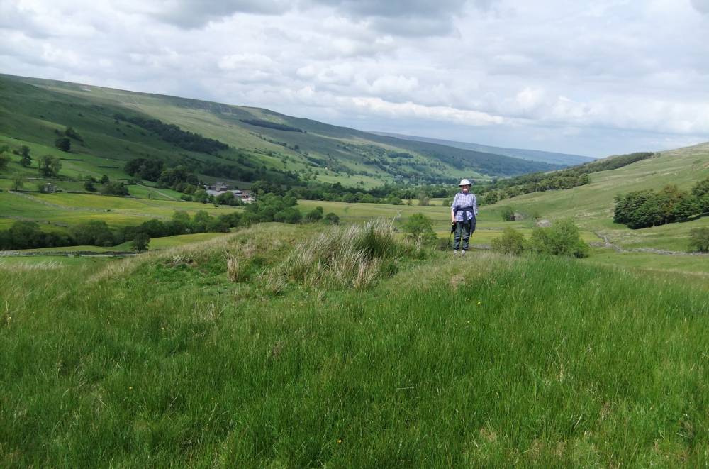
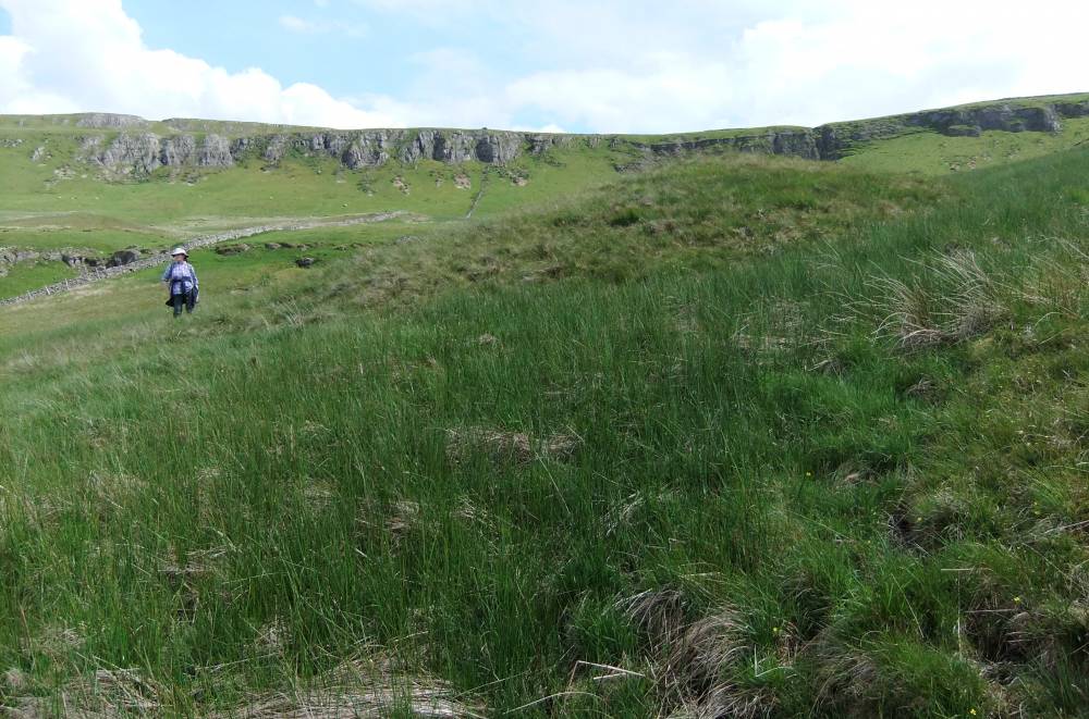
| Record Name | Two adjacent burnt mounds below Dale Head Scar. The Lower Site. |
| Record Description | This very large burnt mound is one of the largest of all the more than 150 burnt mound sites recognised during recent fieldwork in the NE Pennine Dales.
The extremities of the mound are obscured below vegetation and can only be seen by careful examination of the photographs.
However the mound measures 18m*12m * 3m high (max.downslope height).
The highly compacted fractured burnt sandstone core of this mound is visible where the overlying turf has been eroded.
The nearest burnt mounds are above Newbiggin, at Mill Beck Springs some 8km to the NE.
|
| Dimensions | 18m*12m*3m high max. |
| Geographical area | |
| Species | |
| Scientific Name | |
| Common / Notable Species | |
| Tree and / or Stem Girth | |
| Tree: Position / Form / Status | |
| Tree Site ID | 0 |
| Associated Site SWAAG ID | 0 |
| Additional Notes | For a gazetteer and description of burnt mounds in the NE Pennine Dales, see Laurie 2003, 2004 Publications Section. |
| Image 1 ID | 833 Click image to enlarge |
| Image 1 Description | The lower of two adjacent burnt mounds at Dale Head. | 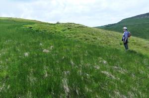 |
| Image 2 ID | 834 Click image to enlarge |
| Image 2 Description | The lower of two adjacent burnt mounds at Dale Head. |  |
| Image 3 ID | 835 Click image to enlarge |
| Image 3 Description | The lower of two adjacent burnt mounds at Dale Head. | 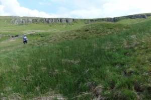 |
| Image 4 ID | 836 Click image to enlarge |
| Image 4 Description | This site is one of the largest burnt mouns recognised to date in the NE Pennine Dales. | 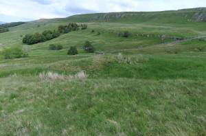 |
| Image 5 ID | 837 Click image to enlarge |
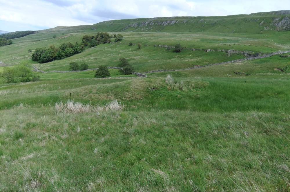
| Image 5 Description | View from the lower site towards the upper site. | 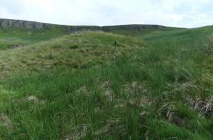 |