|
| *****SWAAG_ID***** | 238 |
| Date Entered | 28/06/2011 |
| Updated on | 28/06/2011 |
| Recorded by | Tim Laurie |
| Category | Mining Related |
| Record Type | Mining |
| SWAAG Site Name | |
| Site Type | |
| Site Name | |
| Site Description | |
| Site Access | Public Access Land |
| Record Date | 17/06/2011 |
| Location | Lover Gill |
| Civil Parish | Muker |
| Brit. National Grid | SD 879 963 |
| Altitude | 450m |
| Geology | Lower end of ravine cut through faulted Main Limestone which may have been open cast mined or hushed. |
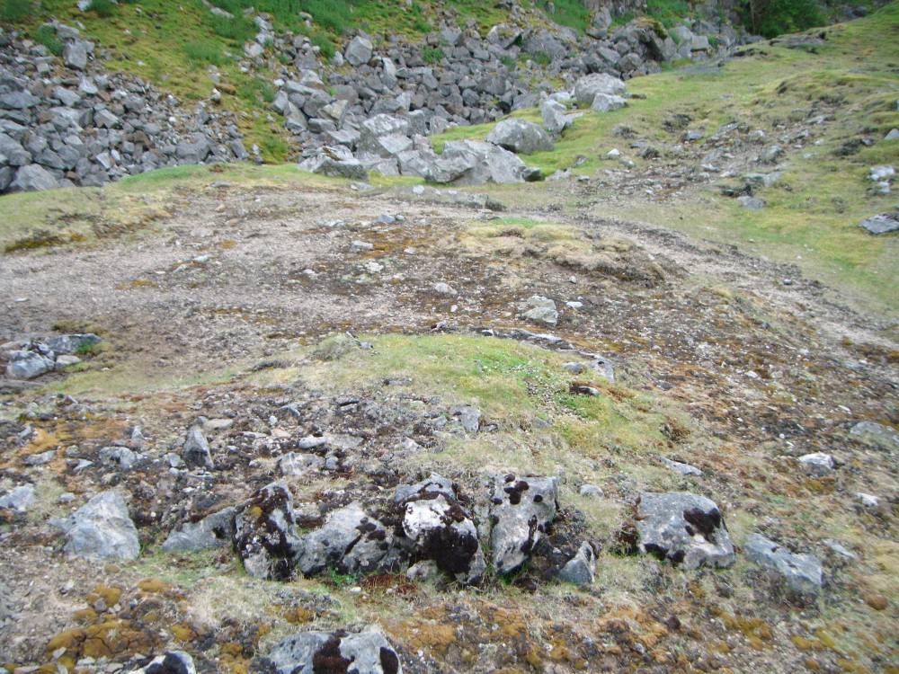
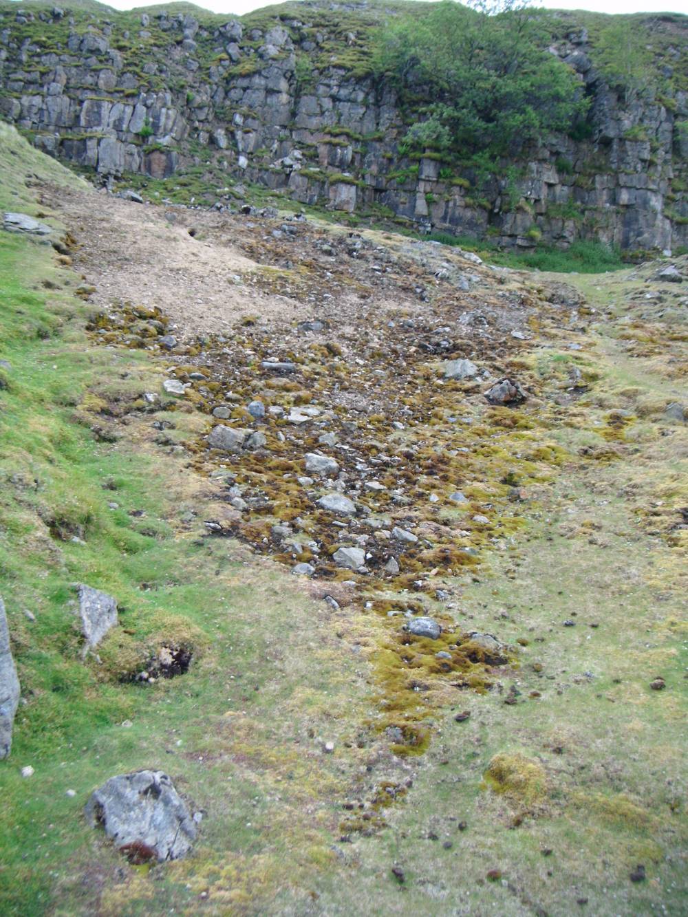
| Record Name | Three conjoined lead bale smelting sites above the lead mine at the lower reach of Lover Gill |
| Record Description | Three lead bale sites marked by circular areas with slag concentrations
free of vegetation due to high lead contamination.
Located above Lover Gill Lead Mine at lower end of ravine or hush gutter at the junction with Lover Gill.
|
| Dimensions | See photos |
| Geographical area | |
| Species | |
| Scientific Name | |
| Common / Notable Species | |
| Tree and / or Stem Girth | |
| Tree: Position / Form / Status | |
| Tree Site ID | 0 |
| Associated Site SWAAG ID | 0 |
| Additional Notes | |
| Image 1 ID | 863 Click image to enlarge |
| Image 1 Description | Lead bale site. Lover Gill. | 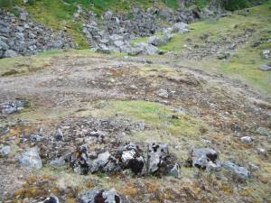 |
| Image 2 ID | 864 Click image to enlarge |
| Image 2 Description | |  |
| Image 3 ID | 865 Click image to enlarge |
| Image 3 Description | | 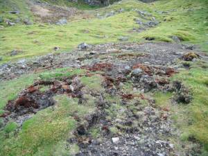 |
| Image 4 ID | 866 Click image to enlarge |
| Image 4 Description | Lead slag on bale site. Detail. | 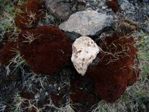 |
| Image 5 ID | 867 Click image to enlarge |
| Image 5 Description | | 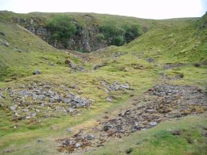 |