|
| *****SWAAG_ID***** | 245 |
| Date Entered | 03/07/2011 |
| Updated on | 30/07/2011 |
| Recorded by | Tim Laurie |
| Category | Burial Mounds and Cairns |
| Record Type | Archaeology |
| SWAAG Site Name | |
| Site Type | |
| Site Name | |
| Site Description | |
| Site Access | |
| Record Date | 21/06/2008 |
| Location | Wensleydale. Bainbridge CP. Carpley Green. Stony Raise Cairn |
| Civil Parish | Bainbridge |
| Brit. National Grid | SD 9505 8691 |
| Altitude | 425m |
| Geology | Sandstone below Underset Limestone. |
| Record Name | Stony Raise Round Cairn |
| Record Description | Massive cairn known as Stony Raise- oval rather than circular with its axis 38m and 28m. Heavily robbed to build adjacent field walls.Located on the edge of a sandstone escarpment and crossed by a modern field wall.
The diary of Charles Fothergill for 1805 records many hundreds of cartloads of stone removed from this cairn. Small stone built beehive chambers are recorded in the heavily disturbed mound early in the present century by W.T.Wylie. |
| Dimensions | 38m*28m |
| Geographical area | |
| Species | |
| Scientific Name | |
| Common / Notable Species | |
| Tree and / or Stem Girth | |
| Tree: Position / Form / Status | |
| Tree Site ID | 0 |
| Associated Site SWAAG ID | 0 |
| Additional Notes | This very large stone built cairn is the largest (presumed) burial cairn in the NE Pennines.
Known burial cairns in this area are always built with surface stone, mounds with unsorted sand or gravel or of boulder clay must always be viewed as probably of glacial origine.
The very extensive settlement remains on Greenber Edge immediately east of this cairn are of a later date.
Stony raise may well be contemporary with the smaller cup marked round cairn on the summit of Addlebrough Hill and with the single entrance henge known as Castle Dikes which is just 2km to the east. The very numerous burnt mounds and lithic finds on Thornton Rust Moor attest to Late Neolithic and Bronze Age activity at the numerous calcareous springs
which rise below limestone strata further east, below Greenber Eddge
and on Stake fell (recorded seperately). |
| Image 1 ID | 885 Click image to enlarge |
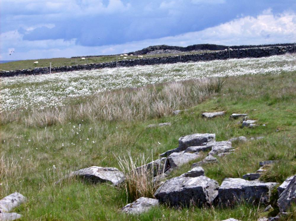
| Image 1 Description | The approach to Stony Raise from the west. Cotton Grass (Eriophorum vaginatum) in flower. | 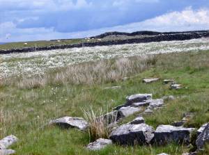 |
| Image 2 ID | 886 Click image to enlarge |
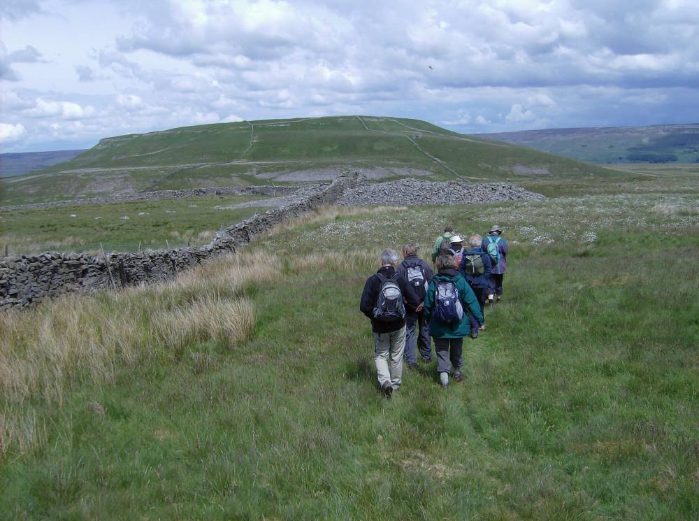
| Image 2 Description | Stony Raise from the south. Reeth Museum Friends Walk June 2008. View towards Addlebrough Hill. | 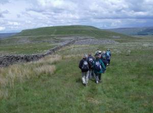 |
| Image 3 ID | 887 Click image to enlarge |
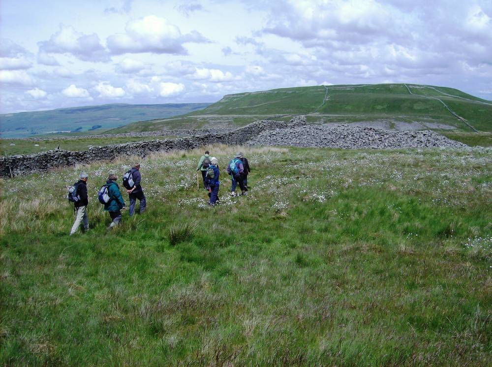
| Image 3 Description | Stony Raise from the south. Reeth Museum Friends Walk June 2008. |  |
| Image 4 ID | 903 Click image to enlarge |
| Image 4 Description | Stony Raise and adjacent medieval settlement complex. | 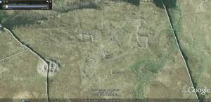 |