|
| *****SWAAG_ID***** | 691 |
| Date Entered | 03/03/2013 |
| Updated on | 05/03/2013 |
| Recorded by | Tim Laurie |
| Category | Earthworks |
| Record Type | Archaeology |
| SWAAG Site Name | |
| Site Type | |
| Site Name | |
| Site Description | |
| Site Access | Public Access Land |
| Record Date | 02/03/2013 |
| Location | East Witton. Braithwaite Hall Pastures. |
| Civil Parish | East Witton |
| Brit. National Grid | |
| Altitude | |
| Geology | Drift over The Main Limestone. |
| Record Name | Earthwork enclosure at Braithwaite Hall |
| Record Description | This record, continued from previous record 690, details the walk across two earthwork enclosures, the first being the complex earthwork hillslope enclosure, known as East Witton Camp, above Braithwite Hall at SE120854,270m OD. This large enclosure is situated on the western bank of the steep sided Red Beck Gill and comprises outer ditch and embanked enclosure which in turn contains an inner defended enclosed platform which probably provides the stance for several round houses.
A very fine aerial photograph of this earthwork forms the front cover to R.F.White and P.R. Wilson Eds.2004. 'Archaeological and Historic Landscapes of the Yorkshire Dales'Yorkshire Archaeological Society Occasional Paper No. 2.
The second of these enclosures is known as Castle Steads and is located at the base of a steep slope in Caldbergh Pastures at SE105853, 300m OD, 1.4km west of East Witton Camp and just below the moor edge.
East Witton Camp is larger than Maiden Castle, but shares a number of characteristics with the well known and discussed Swaledale site, firstly both enclosures are overlooked by higher ground and are effectively both in non-defensible locations.
Secondly, both are levelled platforms as such are suitable stances for timber structures which leave no surface trace.
Thirdly, both Maiden Castle in Swaledale and these two enclosures are defined by substantial ditch and bank and on this account often described as high status settlements. Maiden Castle in Swaledale, with the two barrow-like glacial mounds close to the east entrance and above the western side ditches can equally be considered as necessary to defend stock against wolves. This enclosure above Braithwaite Hall has also been considered as a medieval studfold and the total absence of pottery sherds or any finds would support this, except for the existence of the good levelled platform which points to an earlier, settlement interpretation for this site. |
| Dimensions | See photographs |
| Geographical area | |
| Species | |
| Scientific Name | |
| Common / Notable Species | |
| Tree and / or Stem Girth | |
| Tree: Position / Form / Status | |
| Tree Site ID | 0 |
| Associated Site SWAAG ID | 0 |
| Additional Notes | This record consists of photographs taken during a field walk on a fine day in early March by SWAAG Members- Tim and Eileen Laurie,David Brook,Mike Walton and with Jim Brightman across Witton Fell, Braithwaite Moor, Braithwaite Banks, Strut Steer and so down to Caldbergh Pasture.
The walk included a visit to the very large and as yet undated earthwork enclosure known as East Witton Camp above Braithwaite Hall (A very fine aerial photograph of this earthwork forms the front cover to R.F.White and P.R. Wilson Eds.2004. 'Archaeological and Historic Landscapes of the Yorkshire Dales'Yorkshire Archaeological Society Occasional Paper No. 2.) and to the smaller enclosure known as Castle Steads Fort below Crundell Hill at Caldbergh Pasture. Photographs take during this walk of these sites within the enclosed pastures form Part Two of this record.
For brief details of the Sites, see Image Captions.
The earthworks above Braithwaite Hall have been eroded away by Red Beck and possibly by the exploitation of alluvial or colluvial lead ore on the eastern side.
The existence of a lead bale here is of great interest,see specific SWAAG Record to follow. |
| Image 1 ID | 4089 Click image to enlarge |
| Image 1 Description | The SE Corner of the outer enclosure ditch next Red Beck Gill | 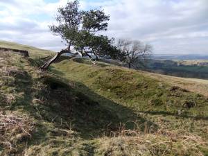 |
| Image 2 ID | 4090 Click image to enlarge |
| Image 2 Description | East Witton Camp above Braithwaite Hall. Upper ditch view westward. | 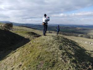 |
| Image 3 ID | 4091 Click image to enlarge |
| Image 3 Description | East Witton Camp above Braithwaite Hall. Eroded earthwork near SE Corner. | 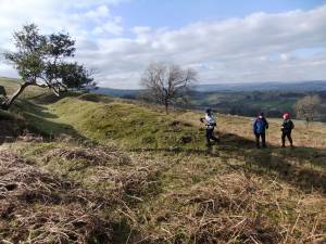 |
| Image 4 ID | 4092 Click image to enlarge |
| Image 4 Description | East Witton Camp above Braithwaite Hall. View across the settlement with the inner Scooped Platform just visible behind the ash tree. | 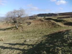 |
| Image 5 ID | 4093 Click image to enlarge |
| Image 5 Description | East Witton Camp above Braithwaite Hall. Upper ditch. | 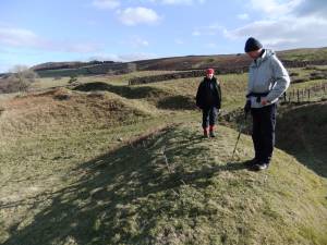 |
| Image 6 ID | 4094 Click image to enlarge |
| Image 6 Description | East Witton Camp above Braithwaite Hall. Lead bale at base of quarried area below SE corner. Possibly quarried as a small opencast lead hush. | 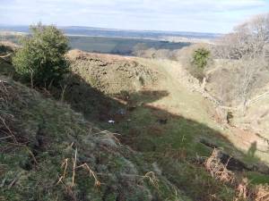 |
| Image 7 ID | 4095 Click image to enlarge |
| Image 7 Description | East Witton Camp above Braithwaite Hall. The lead bale with much lead slag and some charcoal. This early lead working below the earthworks is of considerable interest | 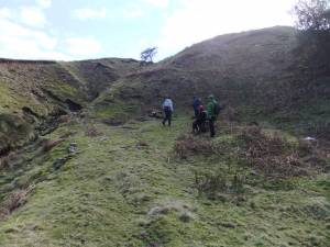 |
| Image 8 ID | 4100 Click image to enlarge |
| Image 8 Description | Braithwaite Banks. Lead mine shaft with other surface open cast lead mine workings above the earthwork enclosure, where there is a bale. | 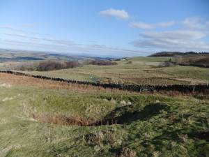 |
| Image 9 ID | 4097 Click image to enlarge |
| Image 9 Description | East Witton Camp above Braithwaite Hall. Upper earthwork. | 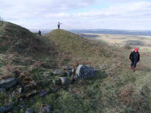 |
| Image 10 ID | 4098 Click image to enlarge |
| Image 10 Description | Castle Steads, a simple ditched enclosure on Caldbergh Pastures. | 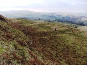 |
| Image 11 ID | 4099 |
| Image 11 Description | Castle Steads, the interior and enclosure ditch No features visible or pottery finds in the molehills. | 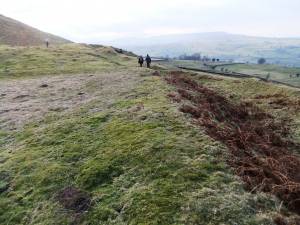 |
| Image 12 ID | 4101 |
| Image 12 Description | Braithwaite Hall from Braithwaite Banks | 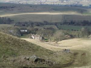 |
| Image 13 ID | 4102 |
| Image 13 Description | Braithwaite Hall | 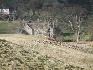 |


