|
| *****SWAAG_ID***** | 690 |
| Date Entered | 03/03/2013 |
| Updated on | 04/03/2013 |
| Recorded by | Tim Laurie |
| Category | Geographical Record |
| Record Type | Archaeology |
| SWAAG Site Name | |
| Site Type | |
| Site Name | |
| Site Description | |
| Site Access | Public Access Land |
| Record Date | 02/03/2013 |
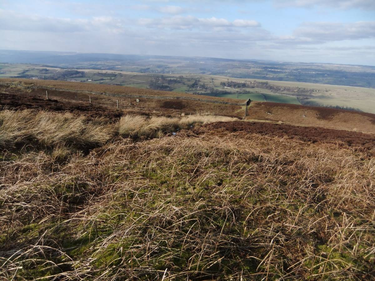
| Location | East Witton Fell, Braithwaite Moor, Strut Steer and Caldbergh Pasture. |
| Civil Parish | East Witton |
| Brit. National Grid | |
| Altitude | |
| Geology | Namurian Millstone Grit Strata with previously mined coal seams on the higher moorland. Glacial till with ice margin and overflow channels. British Geological Survey Sheet 51 - Masham Sheet. |
| Record Name | An archaeological traverse of Witton Fell, Braithwaite Moor, Braithwaite Banks and Caldbergh Pastures. Part One: The Moorland Sites |
| Record Description | Part One of this record is a photographic introduction to the archaeological landscapes of an elevated area of heather grouse moorland on the NE Pennine Fringe with fine views over Lower Wensleydale, the Tees Lowlands and Vale of Mowbray to the North York Moors.
The archaeological interest lies in sites of Bronze Age date and with the comparatively recent remains of the Whitton Moor Colliery. Details of which will be briefly provided in the image captions. More detailed descriptions will be available as specific SWAAG Database Site Records. |
| Dimensions | See OS 1:25000 Sheet OL31 |
| Geographical area | |
| Species | |
| Scientific Name | |
| Common / Notable Species | |
| Tree and / or Stem Girth | |
| Tree: Position / Form / Status | |
| Tree Site ID | 0 |
| Associated Site SWAAG ID | 0 |
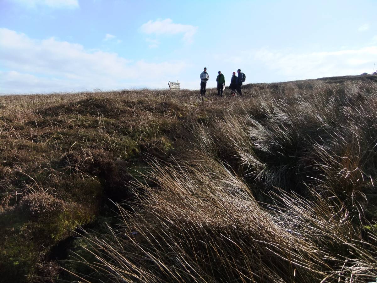
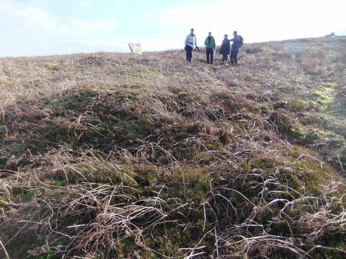
| Additional Notes | This record consists of photographs taken during a field walk on a fine day in early March by SWAAG Members- Tim and Eileen Laurie,David Brook,Mike Walton and with Jim Brightman across Witton Fell, Braithwaite Moor, Braithwaite Banks, Strut Steer and so down to Caldbergh Pasture.
The walk included a visit to the very large and as yet undated earthwork enclosure known as East Witton Camp above Braithwaite Hall (A very fine aerial photograph of this earthwork forms the front cover to R.F.White and P.R. Wilson Eds.2004. 'Archaeological and Historic Landscapes of the Yorkshire Dales'Yorkshire Archaeological Society Occasional Paper No. 2.) and to the smaller enclosure known as Castle Steads Fort at Caldbergh Pasture. Photographs take during this walk of these sites within the enclosed pastures form Part Two of this record.
For brief details of the Sites, see Image Captions.
For details of the Burnt Mounds on Witton Moor, see SWAAG Record NO 52 and the burnt Mound below Town Spring at Ings Head below Caldbergh Moor, see SWAAG Record No 53.
|
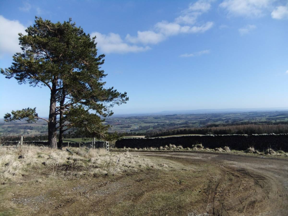
| Image 1 ID | 4054 Click image to enlarge |
| Image 1 Description | The start. View over The Vale of Mowbray from road end above Sowden Beck. | 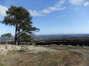 |
| Image 2 ID | 4055 Click image to enlarge |
| Image 2 Description | Two burnt mounds at the same spring rise which has been controlled as a water supply. Ihe very large and prominent burnt mound is on the northern bank of the spring stream just below the source. The smaller and lower burnt mound is on the opposite or southern bank. | 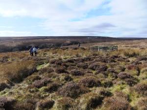 |
| Image 3 ID | 4056 Click image to enlarge |
| Image 3 Description | Detail of the burnt mounds at Sowden Beck Spring | 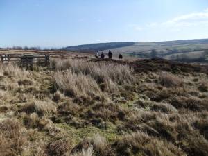 |
| Image 4 ID | 4057 Click image to enlarge |
| Image 4 Description | Detail of the burnt mounds at Sowden Beck Spring |  |
| Image 5 ID | 4058 Click image to enlarge |
| Image 5 Description | Detail of the burnt mounds at Sowden Beck Spring |  |
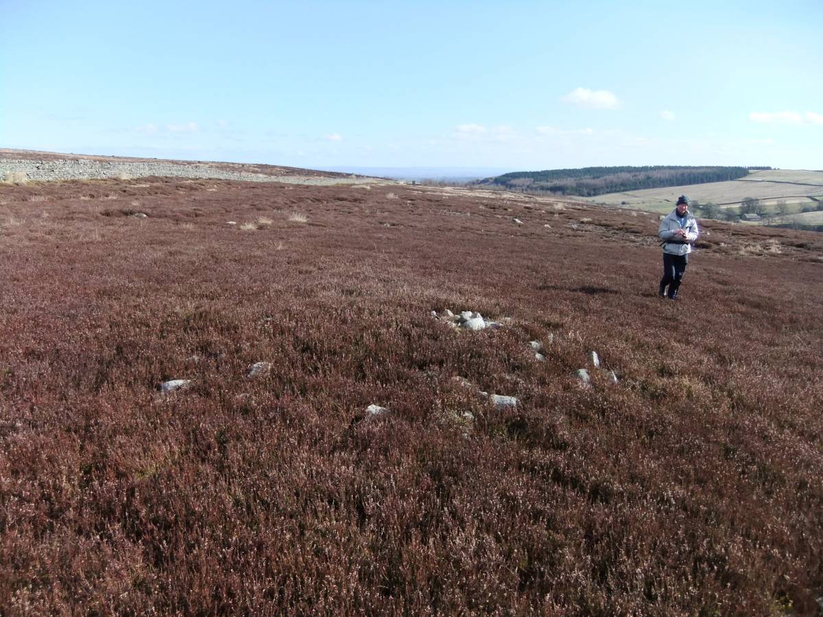
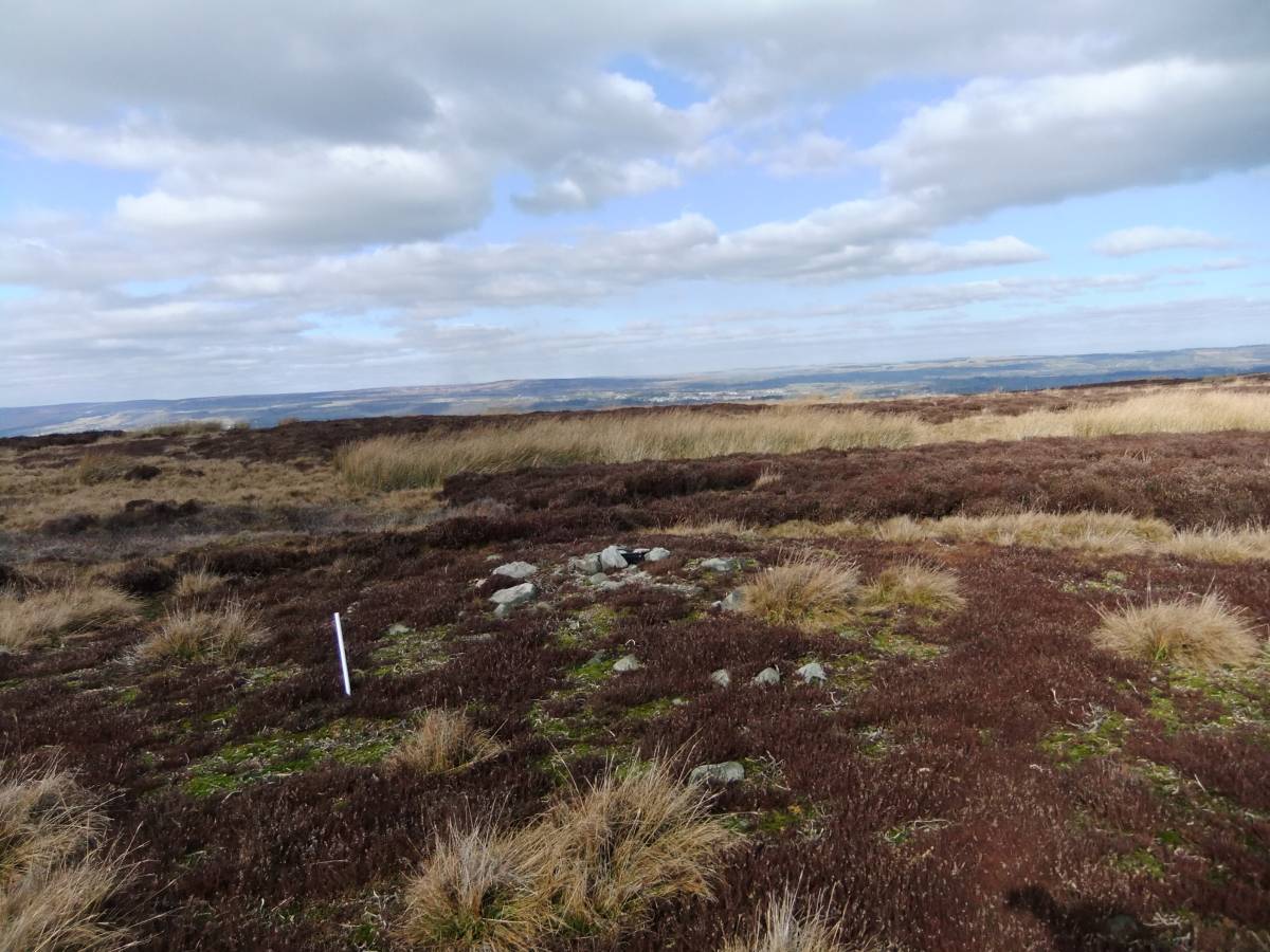
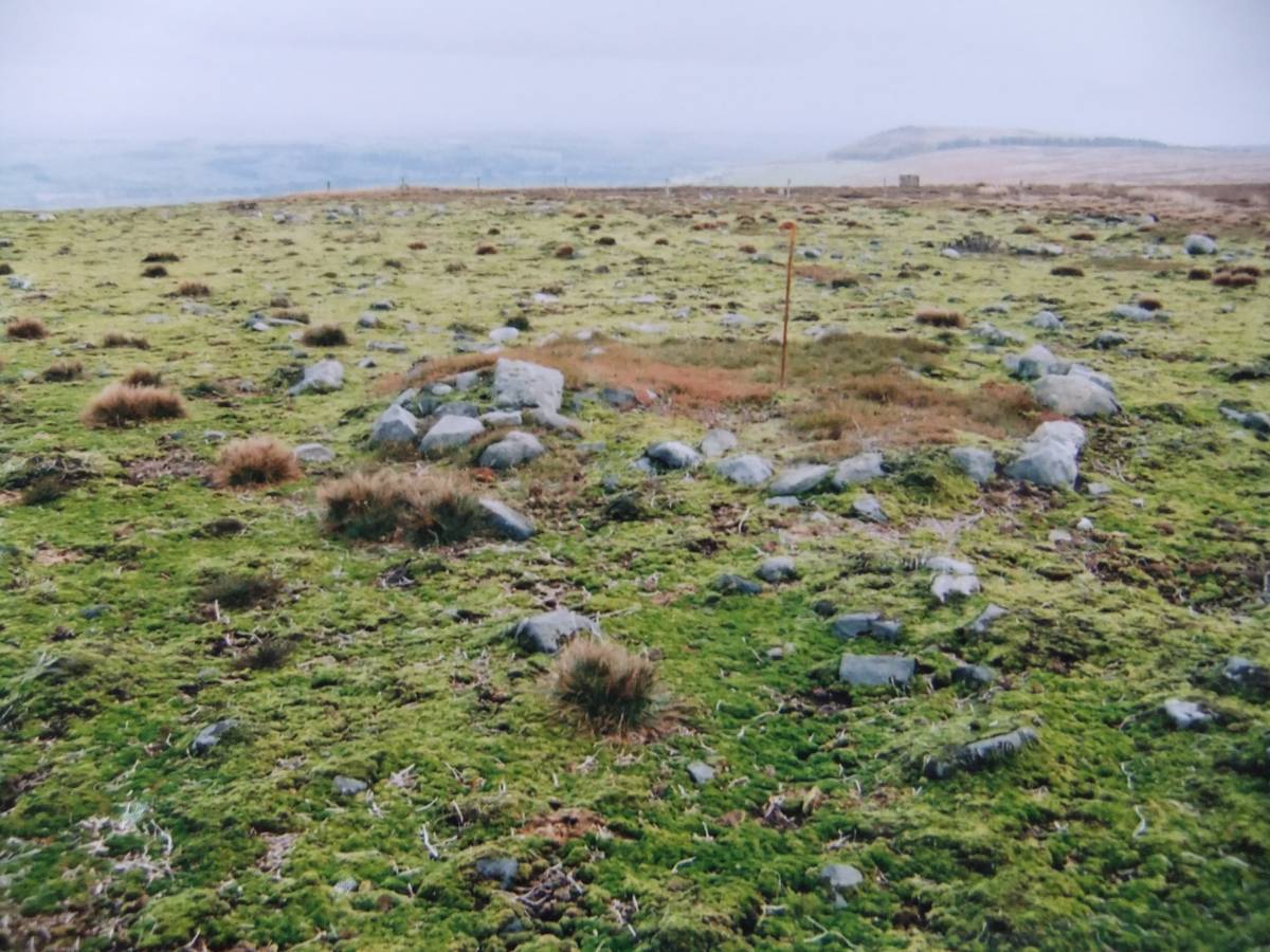
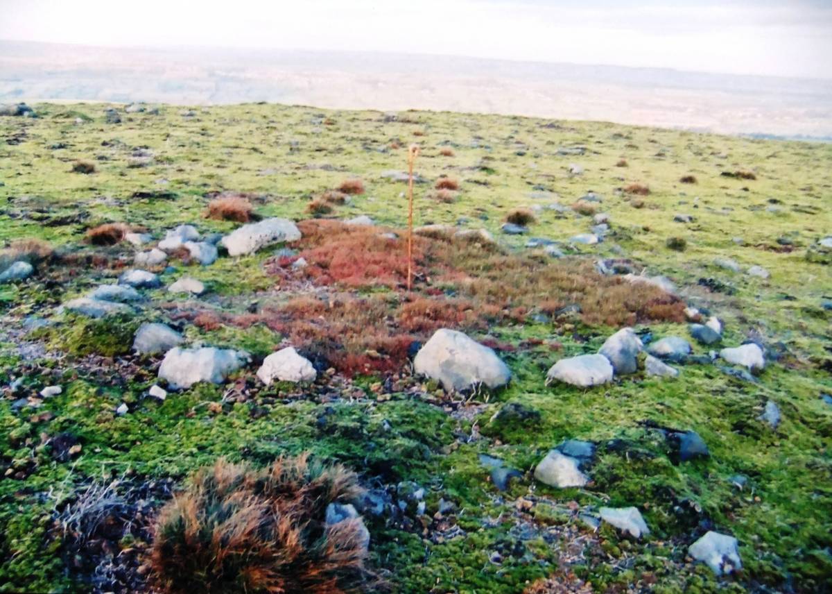
| Image 6 ID | 4059 Click image to enlarge |
| Image 6 Description | Small burial cairn. This mound of highly consolidated small stones probably cover a grave of early to Bronze Age Date. This grave is undisturbed and long may it so remain. RIP. | 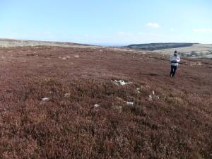 |
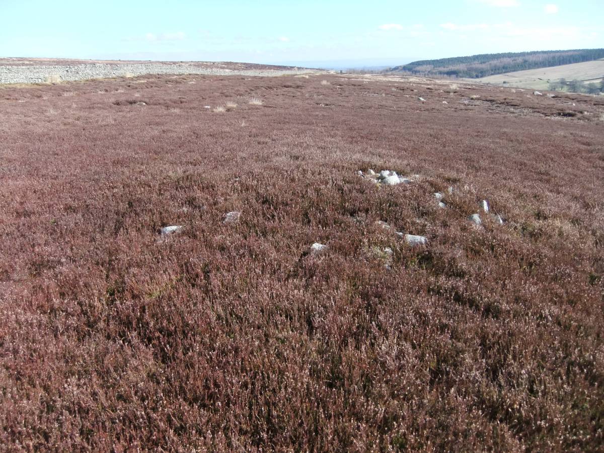
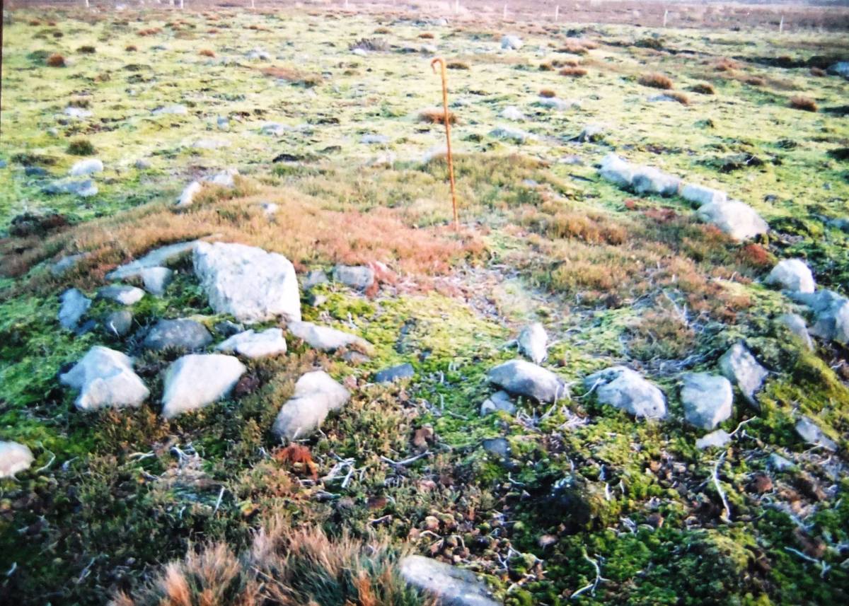
| Image 7 ID | 4060 Click image to enlarge |
| Image 7 Description | The same burial mound. This small round cairn is located some 400m to the north of the two burnt mounds and overlooks the Vale of Mowbray. | 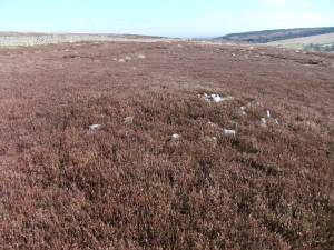 |
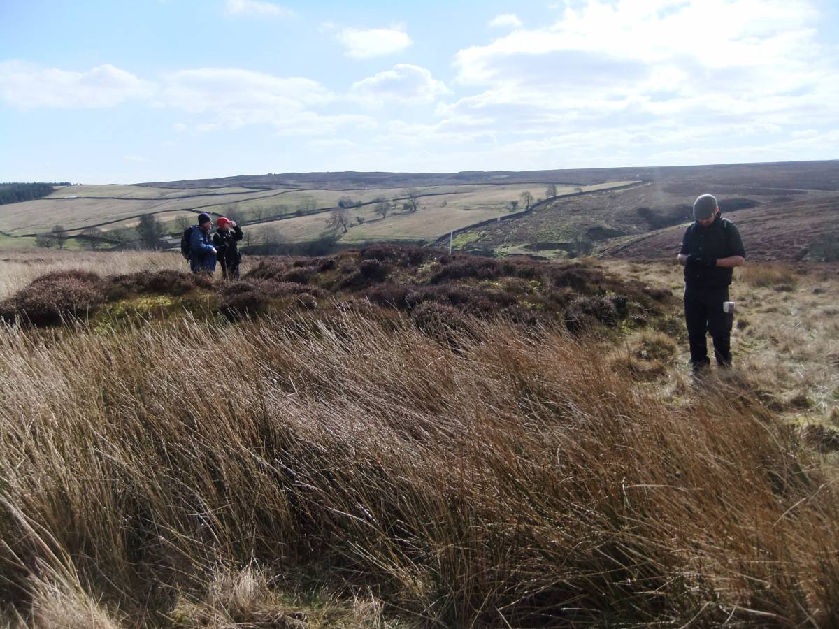
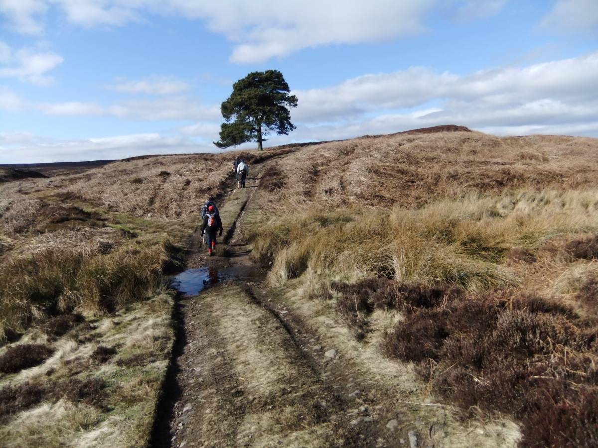
| Image 8 ID | 4061 Click image to enlarge |
| Image 8 Description | The track to Caldbergh with isolated Scots Pine. Two lithic finds indicate the presence of an occupation site sealed below thin peat nearby. |  |
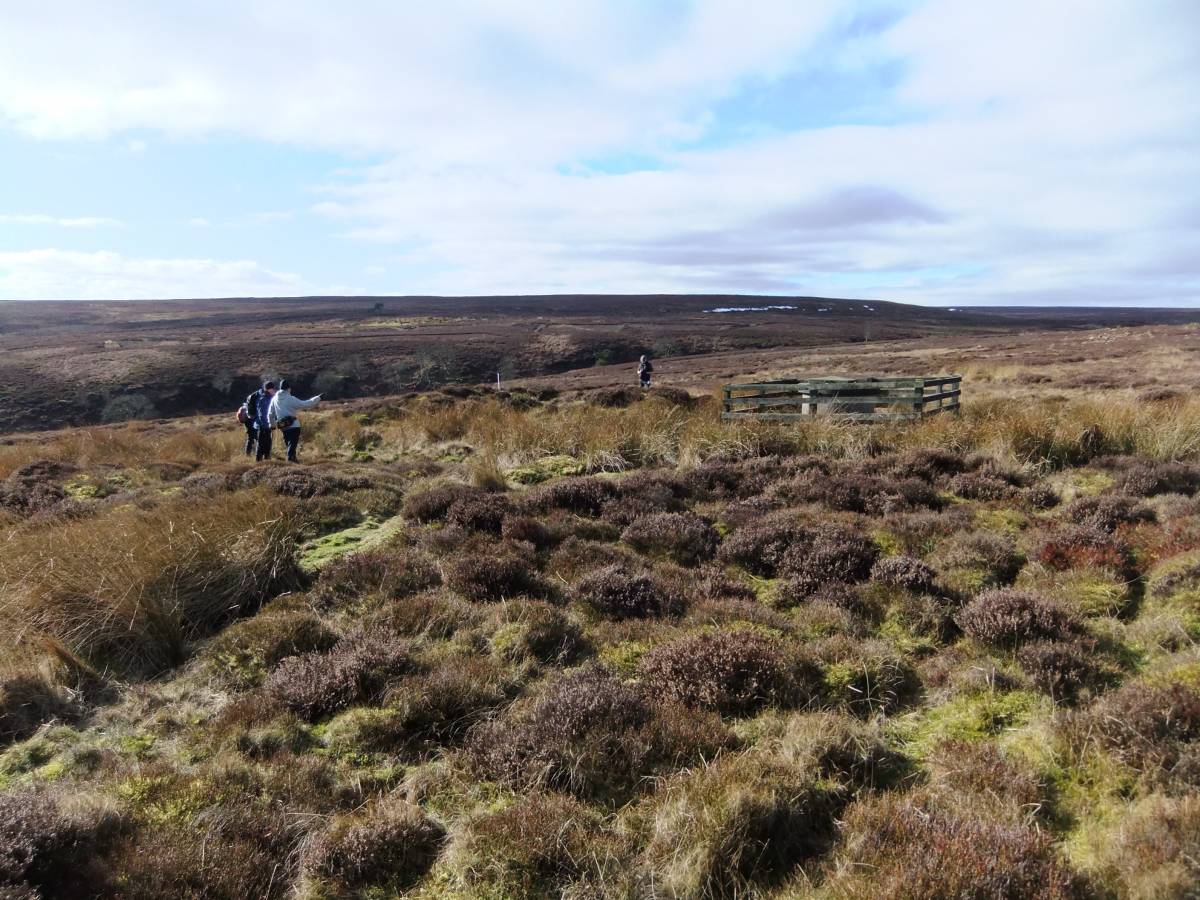
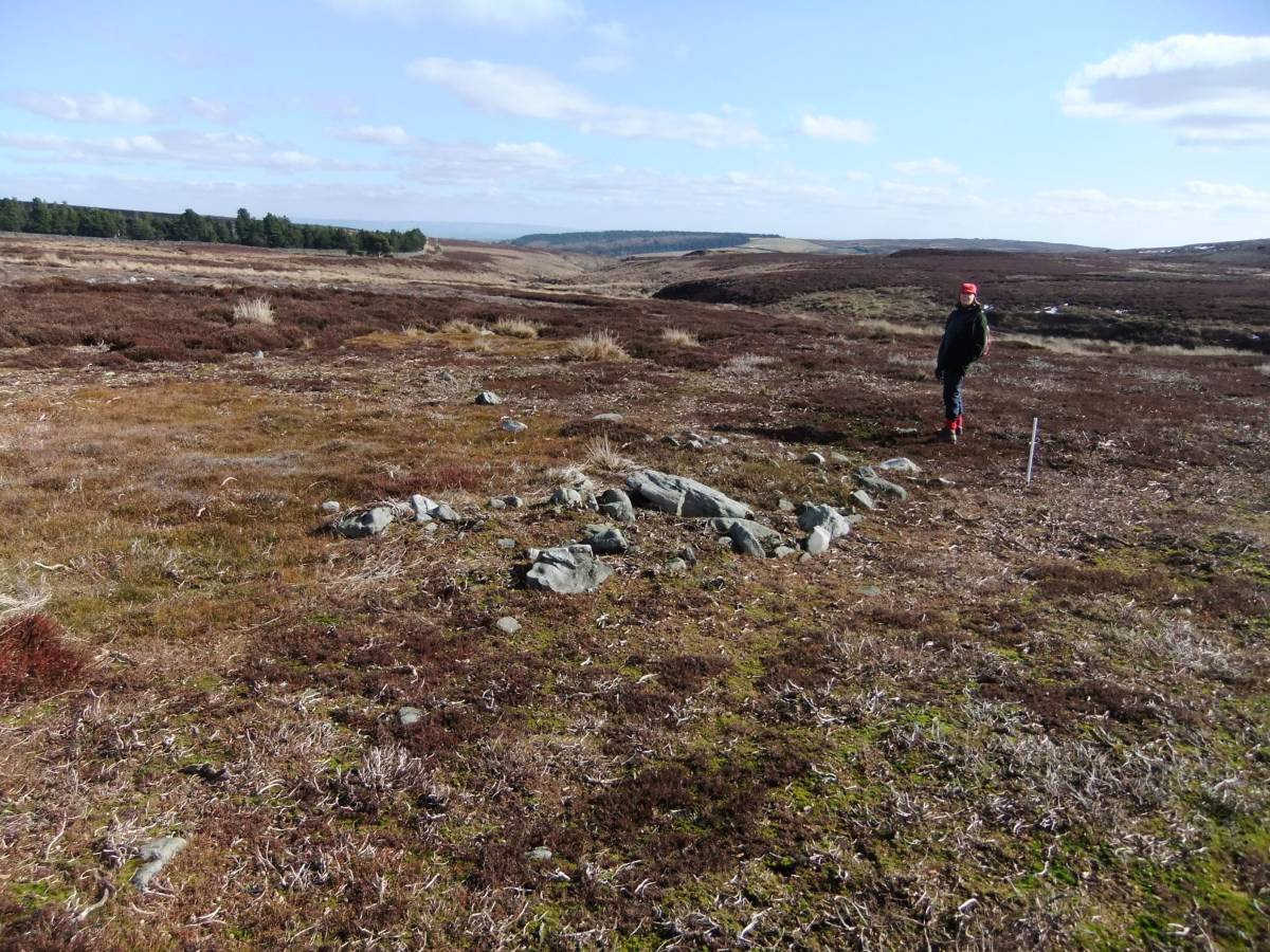
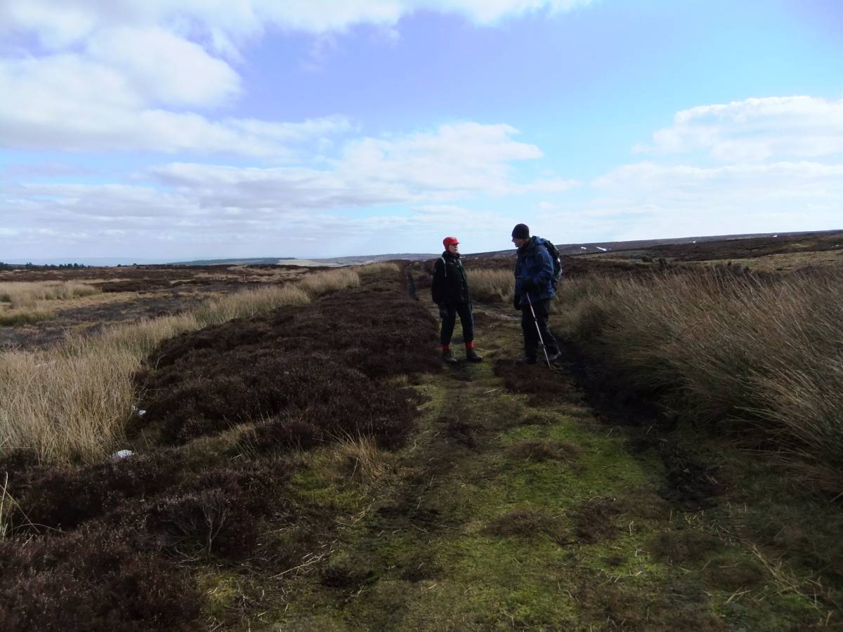
| Image 9 ID | 4063 Click image to enlarge |
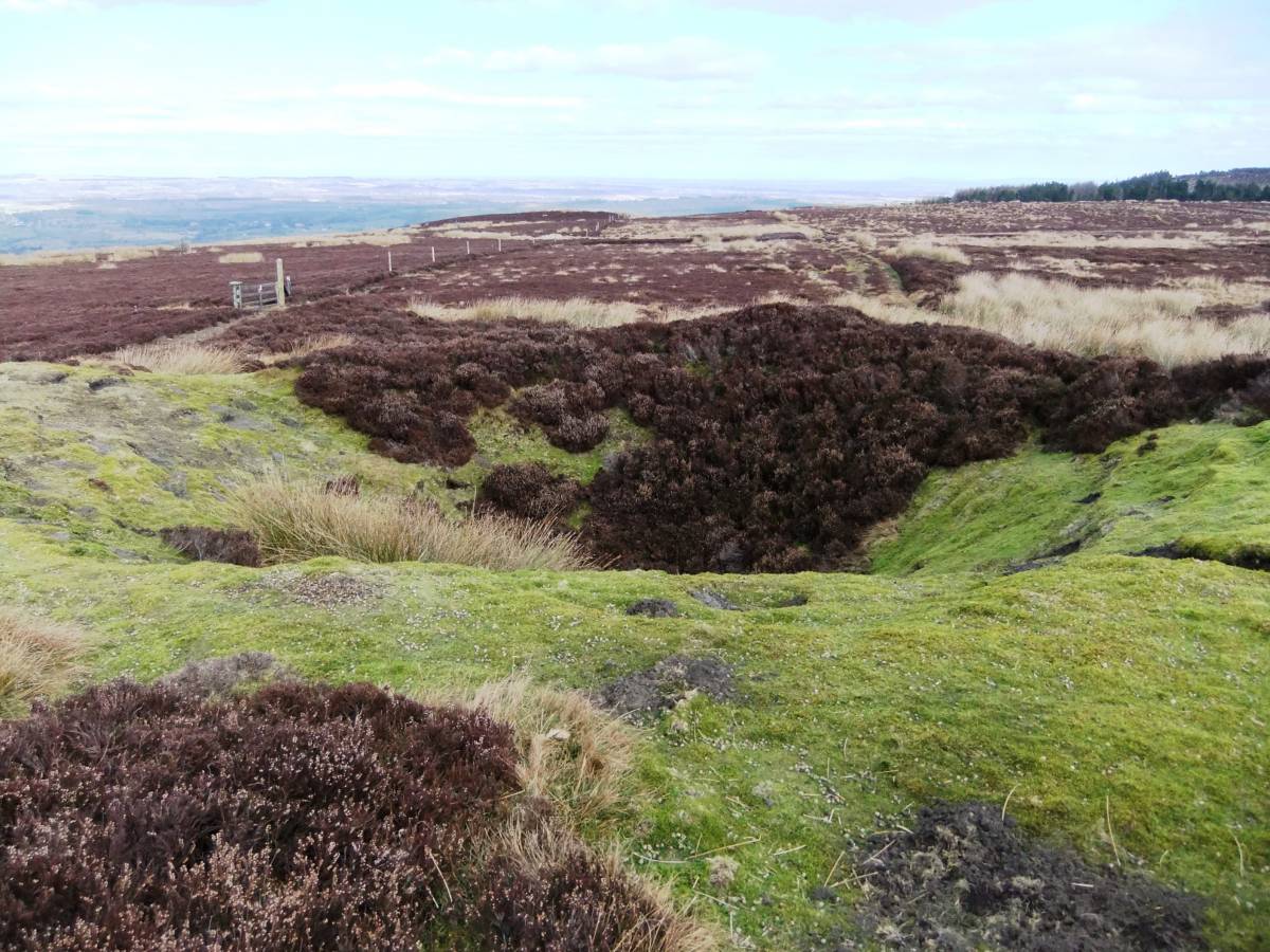
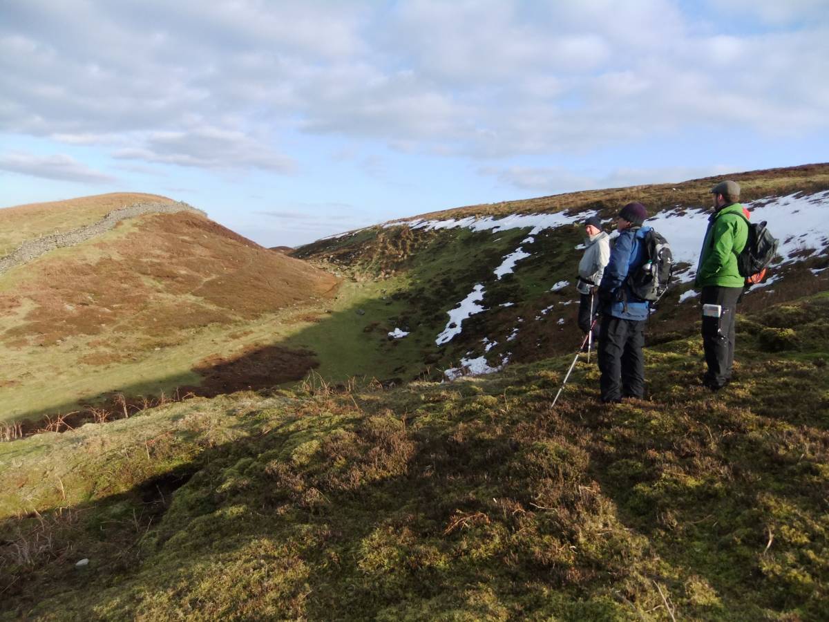
| Image 9 Description | Cairnfield type settlement remains near the rackway across Braithwaite Moor. These remains which consist of scattered stone clearance cairns, short lengths of stone field banks and occasional ring cairns and stone kerbed burial cairns are characteristic of Upland Pennine occupation of the Mid to Late Bronze Age Date | 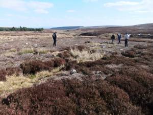 |
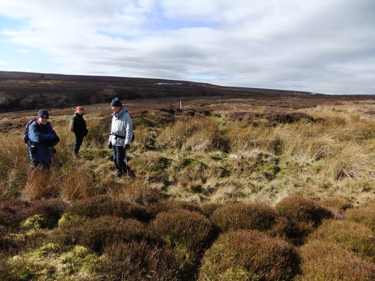
| Image 10 ID | 4064 Click image to enlarge |
| Image 10 Description | The slight remains of this can be seen on the gentle hill slope above the upper reaches of Sowden Beck over a considerable distance, but are only visible where heather has been recently burnt . cairnfield extends | 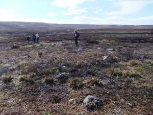 |
| Image 11 ID | 4065 |
| Image 11 Description | The Cairnfield, detail with EAL. | 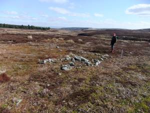 |
| Image 12 ID | 4066 |
| Image 12 Description | The Witton Moor Colliery. Remains of Mine Shop at SE12698442, 339m AOD, with adjacent hollow Ways and a large shaft mound | 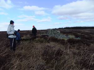 |
| Image 13 ID | 4067 |
| Image 13 Description | The Witton Moor Colliery. Remains of Mine Shop at SE12698442, 339m AOD, with adjacent hollow Ways and a large shaft mound | 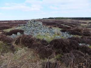 |
| Image 14 ID | 4068 |
| Image 14 Description | Isolated stone round cairn at SE12418469, 350m. This small burial mound is located with views across the Tees Lowlands and to the Eston Hills. | 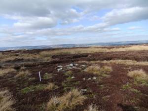 |
| Image 15 ID | 4069 |
| Image 15 Description | The road to the Whitton Moor Colliery. Legend has it that the ladies of the nearby Great Houses took their Sunday Horse and Trap excursions on this road to see the miners hard at work. | 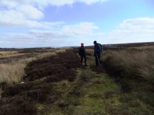 |
| Image 16 ID | 4070 |
| Image 16 Description | Coal pit. |  |
| Image 17 ID | 4071 |
| Image 17 Description | Coal Pit | 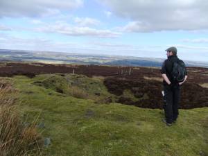 |
| Image 18 ID | 4072 |
| Image 18 Description | Coal Pit |  |
| Image 19 ID | 4073 |
| Image 19 Description | Coal pit and level driven into the hillside at a lower elevation. | 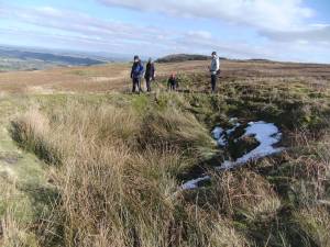 |
| Image 20 ID | 4074 |
| Image 20 Description | Coal pit and level driven into the hillside at a lower elevation. | 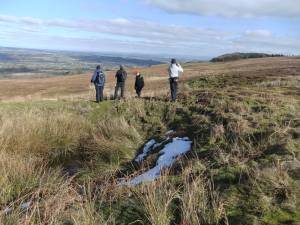 |
| Image 21 ID | 4075 |
| Image 21 Description | Caldbergh Moor. Burnt mound at spring rise above Ewe Lock. Cairnfield complex below Strut Steer nearby. | 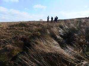 |
| Image 22 ID | 4076 |
| Image 22 Description | The view from the burnt mounds above Ewe Lock. |  |
| Image 23 ID | 4077 |
| Image 23 Description | This photograph indicates that there could be two burnt mound sites here,not one as originally thought. |  |
| Image 24 ID | 4078 |
| Image 24 Description | Caldbergh Moor.Crundall Hill. Glacial feature: Ice margin channel. | 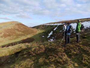 |
| Image 25 ID | 4079 |
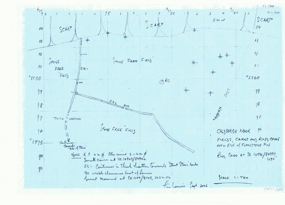
| Image 25 Description | 1:500 Scale survey of field system,cairnfield and ring cairn complex below Strut Steer. T.C. Laurie September 2006. | 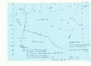 |
| Image 26 ID | 4083 |
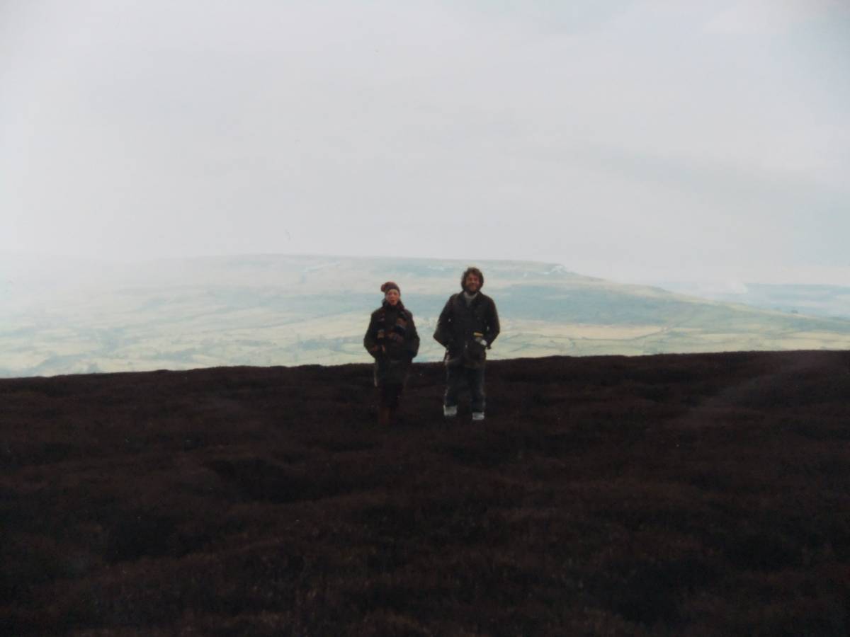
| Image 26 Description | Andrew Fleming and Eileen Laurie at the field system and cairnfield below Strut Steer. 1980. | 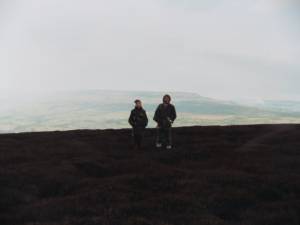 |
| Image 27 ID | 4084 |
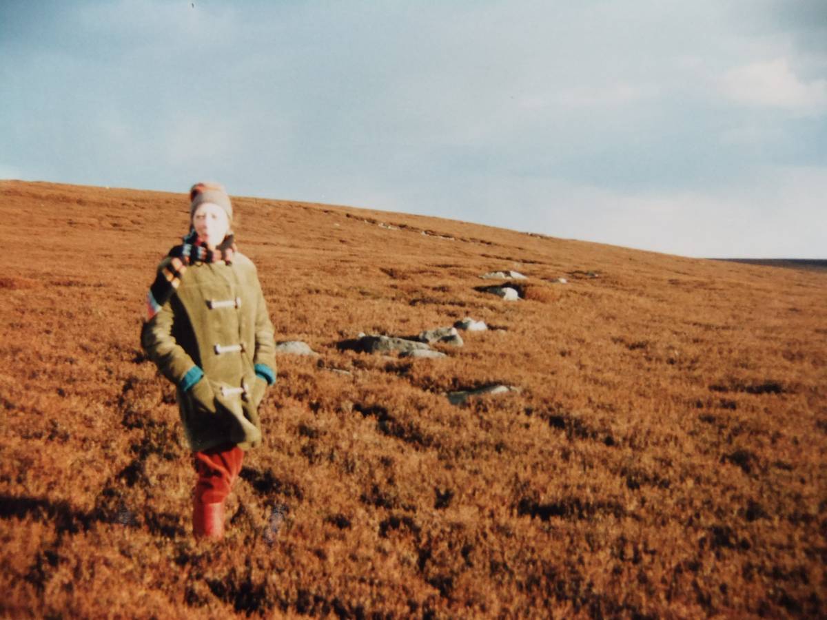
| Image 27 Description | Field bank as first discovered, under heather. |  |
| Image 28 ID | 4082 |
| Image 28 Description | Ring cairn and stone free field, below Strut Steer. |  |
| Image 29 ID | 4086 |
| Image 29 Description | The Ring Cairn. For details and extent of this bronze age cairnfield type settlement, see survey above | 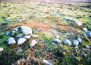 |
| Image 30 ID | 4087 |
| Image 30 Description | The Ring Cairn, detail. | 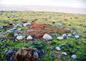 |