|
| *****SWAAG_ID***** | 130 |
| Date Entered | 18/02/2011 |
| Updated on | 18/02/2011 |
| Recorded by | Tim Laurie |
| Category | Burnt Mound |
| Record Type | Archaeology |
| SWAAG Site Name | |
| Site Type | |
| Site Name | |
| Site Description | |
| Site Access | Army Range |
| Record Date | 29/12/2008 |
| Location | Bellerby CP. Bellerby Moor Ranges. Whipperdale Bank. |
| Civil Parish | Not known |
| Brit. National Grid | SE 08542 93304 |
| Altitude | 305m |
| Geology | At calcareous, tufa-forming spring line. The main Limestone. |
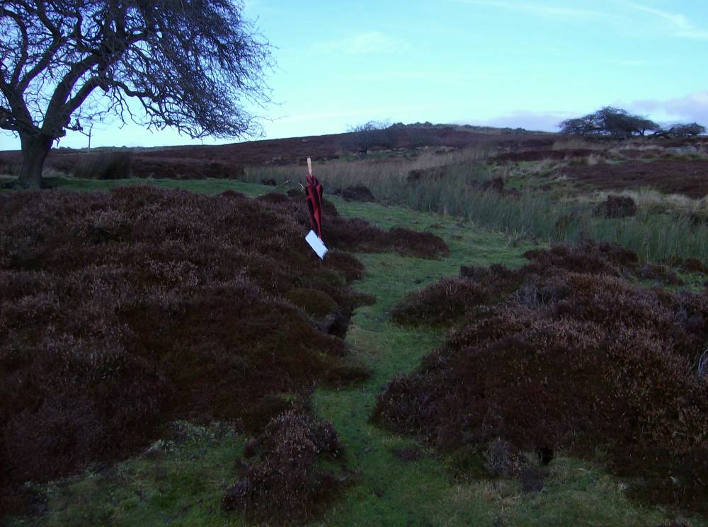
| Record Name | Bellerby CP. Bellerby Moor Ranges. Whipperdale Bank. Burnt Mound Site 3. |
| Record Description | Medium sized crescentic burnt mound 7m*5m*.5m high located on west bank of small stream of dried up stream immediately below BEL002. Very close to proposed new Army Range. Visible burnt stone at erosion patches under heather. .
|
| Dimensions | |
| Geographical area | |
| Species | |
| Scientific Name | |
| Common / Notable Species | |
| Tree and / or Stem Girth | |
| Tree: Position / Form / Status | |
| Tree Site ID | 0 |
| Associated Site SWAAG ID | 0 |
| Additional Notes | |
| Image 1 ID | 301 Click image to enlarge |
| Image 1 Description | Whipperdale Group of Burnt mounds. Sites 2 and 3. | 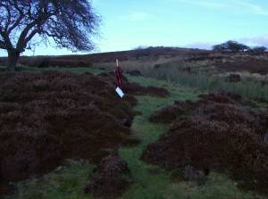 |
| Image 2 ID | 302 Click image to enlarge |
| Image 2 Description | Whipperdale Burnt Mound Site 3. Burnt stone under heather. | 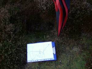 |