|
| *****SWAAG_ID***** | 129 |
| Date Entered | 18/02/2011 |
| Updated on | 18/02/2011 |
| Recorded by | Tim Laurie |
| Category | Burnt Mound |
| Record Type | Archaeology |
| SWAAG Site Name | |
| Site Type | |
| Site Name | |
| Site Description | |
| Site Access | Army Range |
| Record Date | 29/12/2008 |
| Location | Bellerby CP. Bellerby Moor Ranges. Whipperdale Bank |
| Civil Parish | Not known |
| Brit. National Grid | SE 08544 93321 |
| Altitude | 305m |
| Geology | At calcareous, tufa forming spring line below The Main Limestone |
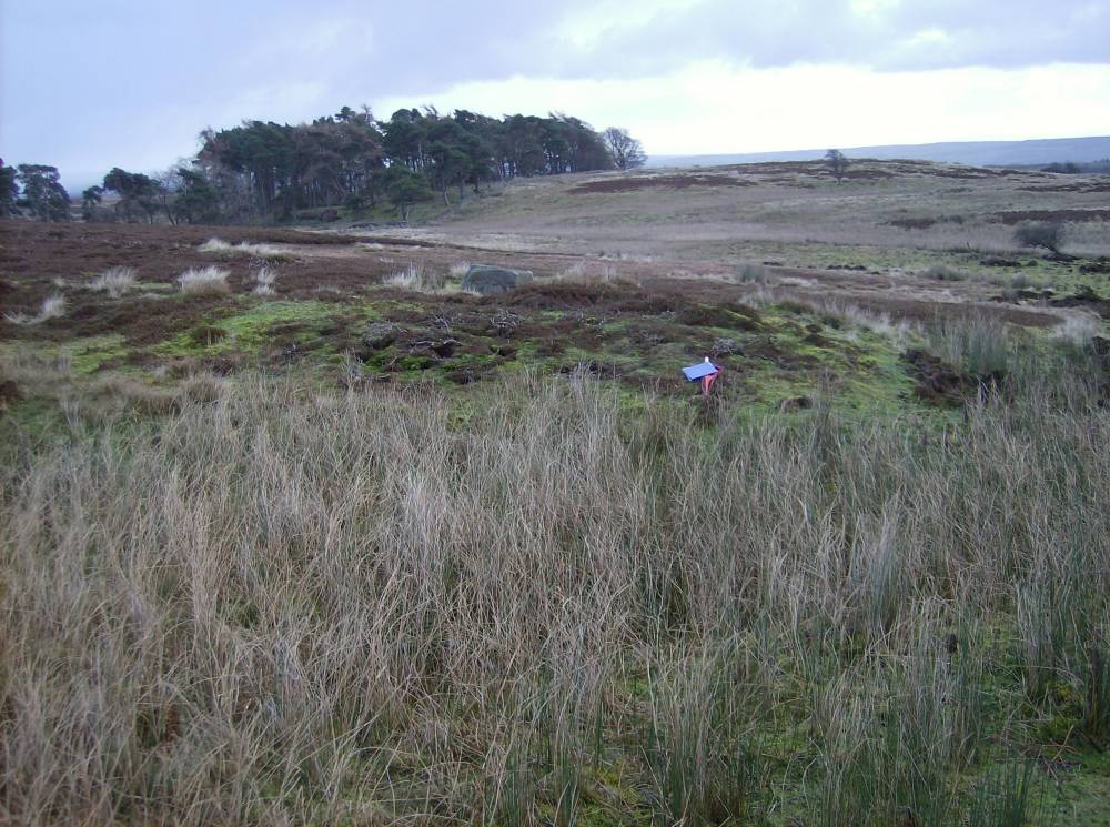
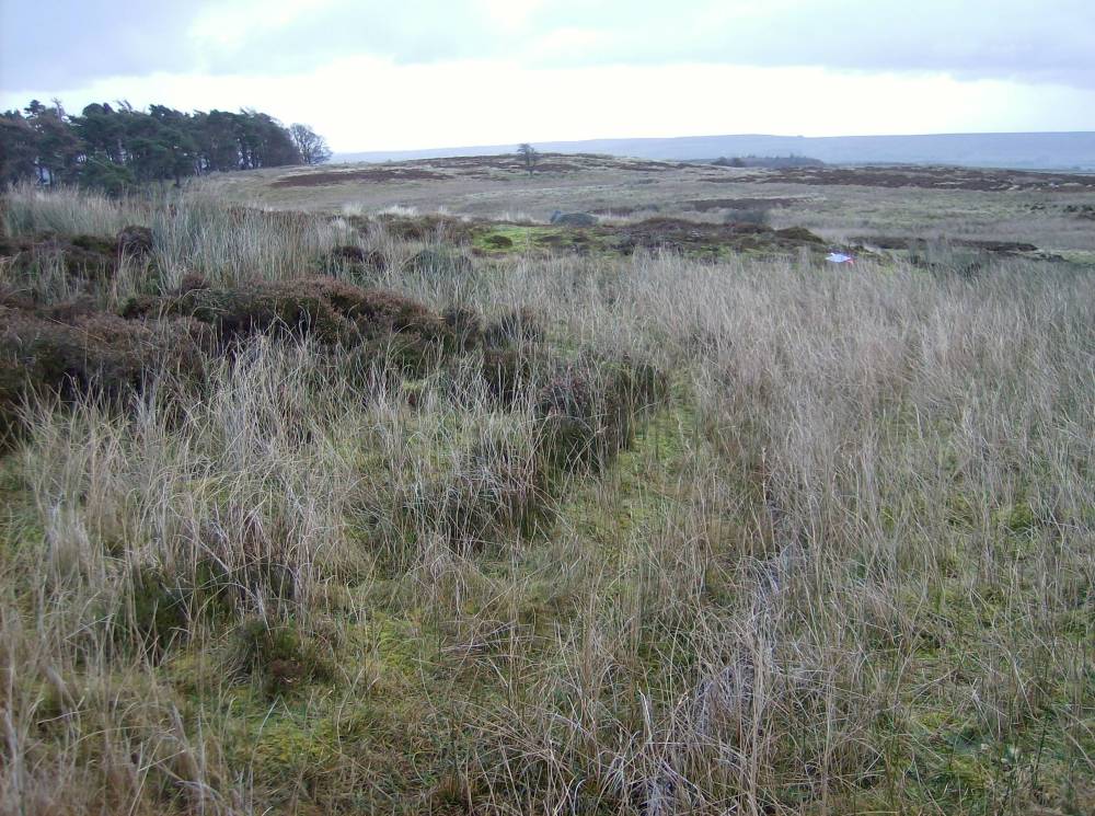
| Record Name | Bellerby Moor Ranges. Whipperdale Bank. Burnt Mound Site 2. The second burnt mound to be recorded of six at this general vicinity. |
| Record Description | Medium sized crescentic burnt mound 7m*5m*.5m high located on east bank of small stream at top of slope. Close to proposed new Army Range. |
| Dimensions | 7m*5m*.5m |
| Geographical area | |
| Species | |
| Scientific Name | |
| Common / Notable Species | |
| Tree and / or Stem Girth | |
| Tree: Position / Form / Status | |
| Tree Site ID | 0 |
| Associated Site SWAAG ID | 0 |
| Additional Notes | These sites on Bellerby Moor were recognised subsequent to and are additional to those listed in the gazetteers attached to Laurie 2003 and Laurie2004. |
| Image 1 ID | 297 Click image to enlarge |
| Image 1 Description | Bellerby Moor Range. Whiperdale Bank Burnt Mound Site 2 |  |
| Image 2 ID | 298 Click image to enlarge |
| Image 2 Description | Bellerby Moor Range. Whiperdale Bank Burnt Mound Site 2 | 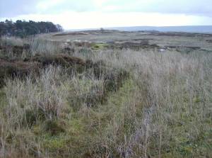 |
| Image 3 ID | 299 Click image to enlarge |
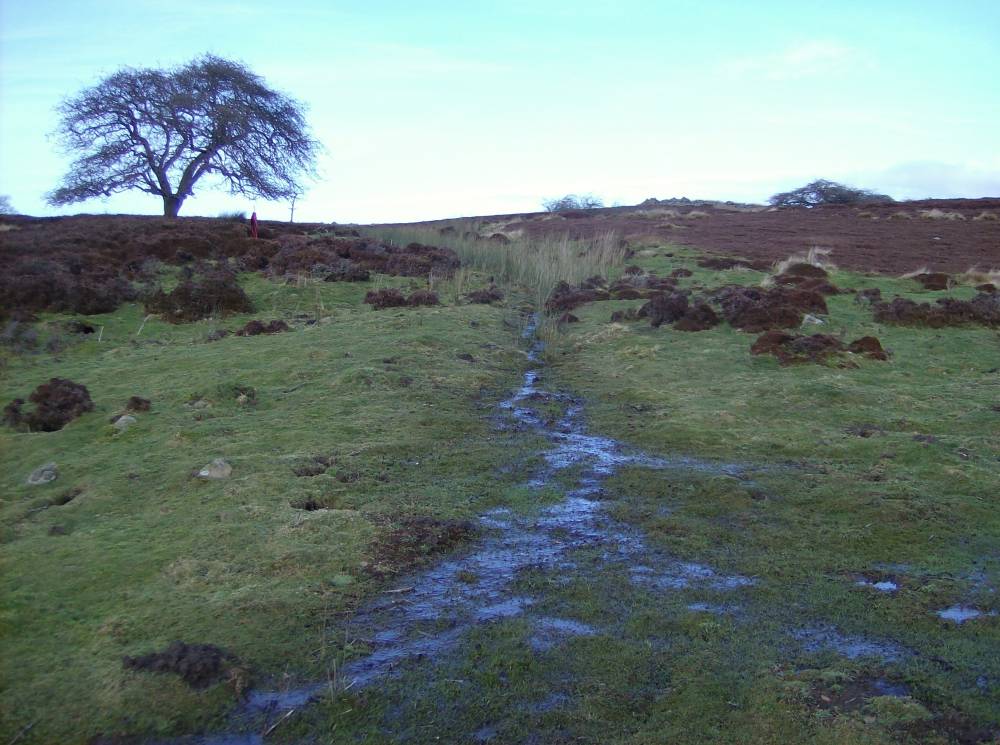
| Image 3 Description | Bellerby Moor Range. Whiperdale Bank Burnt Mound Locations of Site 2 and 3 from below. |  |
| Image 4 ID | 300 Click image to enlarge |
| Image 4 Description | Bellerby Moor Range. Whiperdale Bank Burnt Mound Sites 2 and 3 from above. | 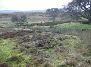 |