|
| *****SWAAG_ID***** | 594 |
| Date Entered | 22/08/2012 |
| Updated on | 01/09/2012 |
| Recorded by | Tim Laurie |
| Category | Settlement |
| Record Type | Archaeology |
| SWAAG Site Name | |
| Site Type | |
| Site Name | |
| Site Description | |
| Site Access | Public Footpath |
| Record Date | 01/01/2005 |
| Location | Whitbecks |
| Civil Parish | Grinton |
| Brit. National Grid | SE 035 985 |
| Altitude | 190m |
| Geology | Till over Simonstone Limestone |
| Record Name | Rectangular enclosed stone built settlement and associated field system east of the Marl Pit at Whitbecks, Grinton Pastures. |
| Record Description | See Swaledale Ancient Land Boundaries Project Survey Plan as SWALB Tenth Interim Report Figure 2 attached.
This settlement is located on the spring line in permanent,north facing pasture just above the Swale flood plain. This was a substantial farmstead and is one of the largest of the many settlements situated within the Grinton Pastures.The nature of the remains indicate that this site was of multi period occupation which could extend from Late Iron Age/Roman occupation to the Medieval Period.
This site comprises a rectangular enclosure (ABCD on the survey) which is probably late prehistoric in date. A hollow way runs along the eastern perimeter. A series of house platforms, eg x and y on plan and small enclosures are visible within the enclosure. |
| Dimensions | See plan. |
| Geographical area | |
| Species | |
| Scientific Name | |
| Common / Notable Species | |
| Tree and / or Stem Girth | |
| Tree: Position / Form / Status | |
| Tree Site ID | 0 |
| Associated Site SWAAG ID | 0 |
| Additional Notes | This site can be seen from the footpath which crosses the site and from below, from Low Lane, from where the two photos were taken. |
| Image 1 ID | 3254 Click image to enlarge |
| Image 1 Description | The settlement as SWALB Survey, SWALB Interim Rpt No 10 Figure 2(1993 Season). | 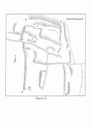 |
| Image 2 ID | 3252 Click image to enlarge |
| Image 2 Description | The settlement as seen from Low Lane. | 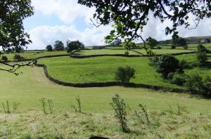 |
| Image 3 ID | 3253 Click image to enlarge |
| Image 3 Description | The settlement as seen from Low Lane. Note the small mound in the foreground, this is one of two cairns in the pasture close to Low Lane here, which may be burial mounds. | 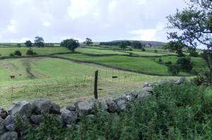 |
| Image 4 ID | 3258 Click image to enlarge |
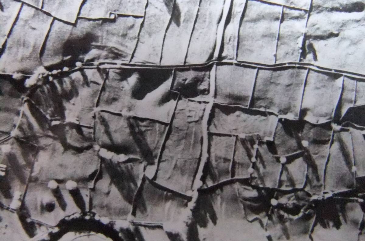
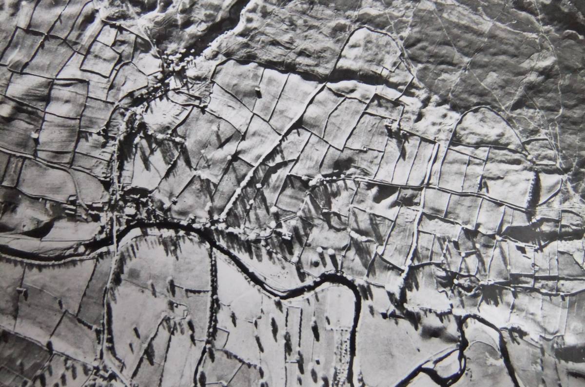
| Image 4 Description | High level photograph of Grinton Pastures | 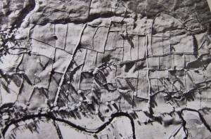 |
| Image 5 ID | 3259 Click image to enlarge |
| Image 5 Description | |  |
| Image 6 ID | 3260 Click image to enlarge |
| Image 6 Description | | 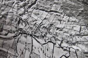 |