|
| *****SWAAG_ID***** | 359 |
| Date Entered | 26/11/2011 |
| Updated on | 26/11/2011 |
| Recorded by | Tim Laurie |
| Category | Tree Site Record |
| Record Type | Botanical HER |
| SWAAG Site Name | |
| Site Type | |
| Site Name | |
| Site Description | |
| Site Access | Public Access Land |
| Record Date | 20/11/2011 |
| Location | East Stonesdale. Isolated Juniper above Hind Hole Falls. |
| Civil Parish | Muker |
| Brit. National Grid | NY 8996 0242 |
| Altitude | 406m |
| Geology | Drift on mudstones above Main chert. |
| Record Name | MUK135 East Stonesdale. Isolated Juniper above Hind Hole Falls. |
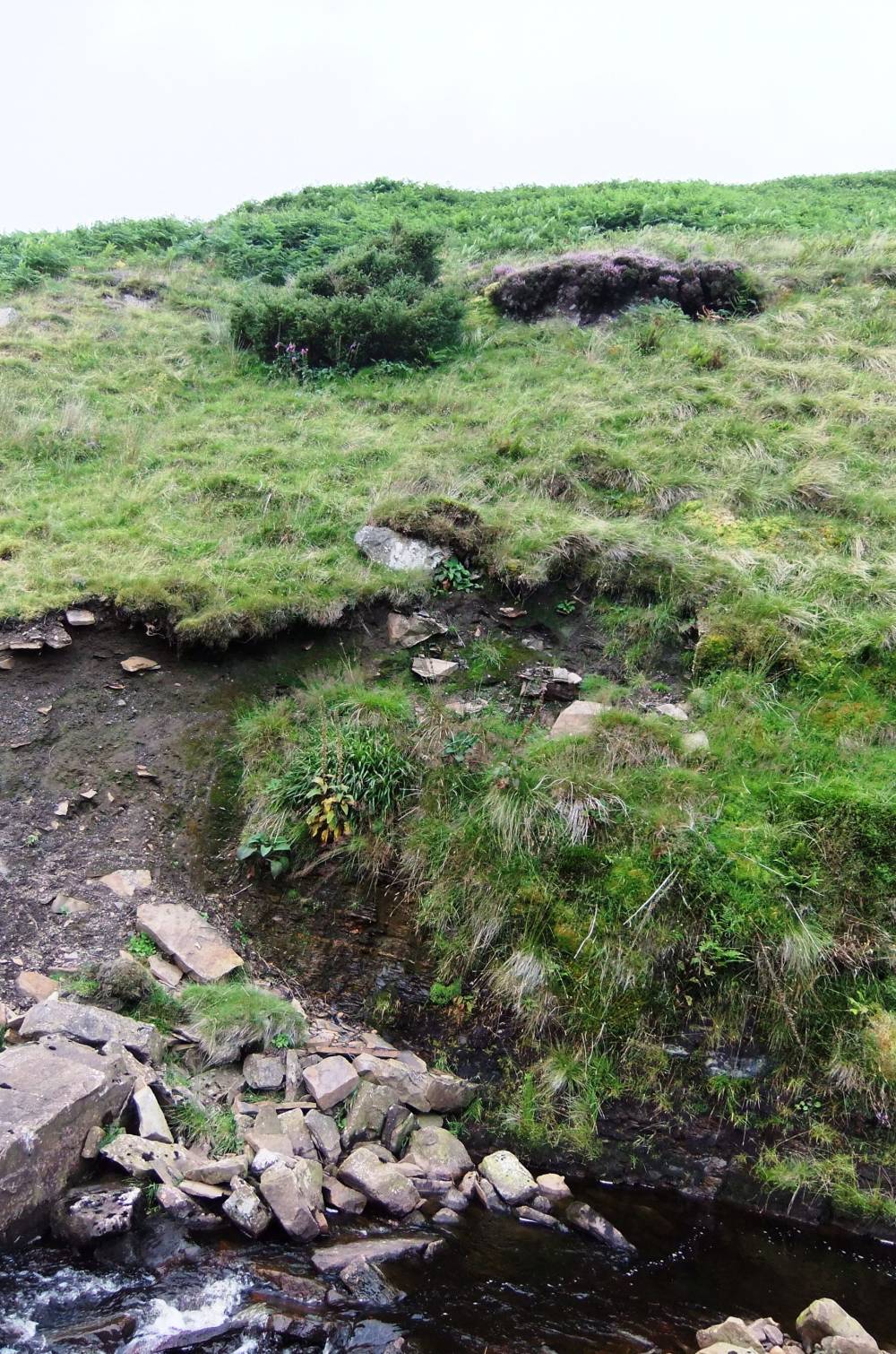
| Record Description | Isolated juniper on west bank of stream cut ravine above falls with scattered rowan and birch. |
| Dimensions | See photographs |
| Geographical area | Upper Swaledale |
| Species | Juniper |
| Scientific Name | |
| Common / Notable Species | |
| Tree and / or Stem Girth | |
| Tree: Position / Form / Status | |
| Tree Site ID | 0 |
| Associated Site SWAAG ID | 0 |
| Additional Notes | This isolated juniper appears healthy.
No reconnaissance upstream of this locality to date. |
| Image 1 ID | 1439 Click image to enlarge |
| Image 1 Description | East Sleddale Beck and the isolated juniper. | 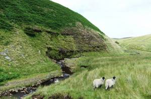 |
| Image 2 ID | 1440 Click image to enlarge |
| Image 2 Description | East Sleddale Beck and Hind Hole Falls. | 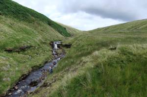 |
| Image 3 ID | 1441 Click image to enlarge |
| Image 3 Description | The Hind Hole Falls. Main chert strata. | 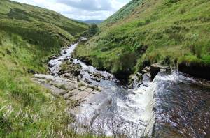 |
| Image 4 ID | 1442 Click image to enlarge |
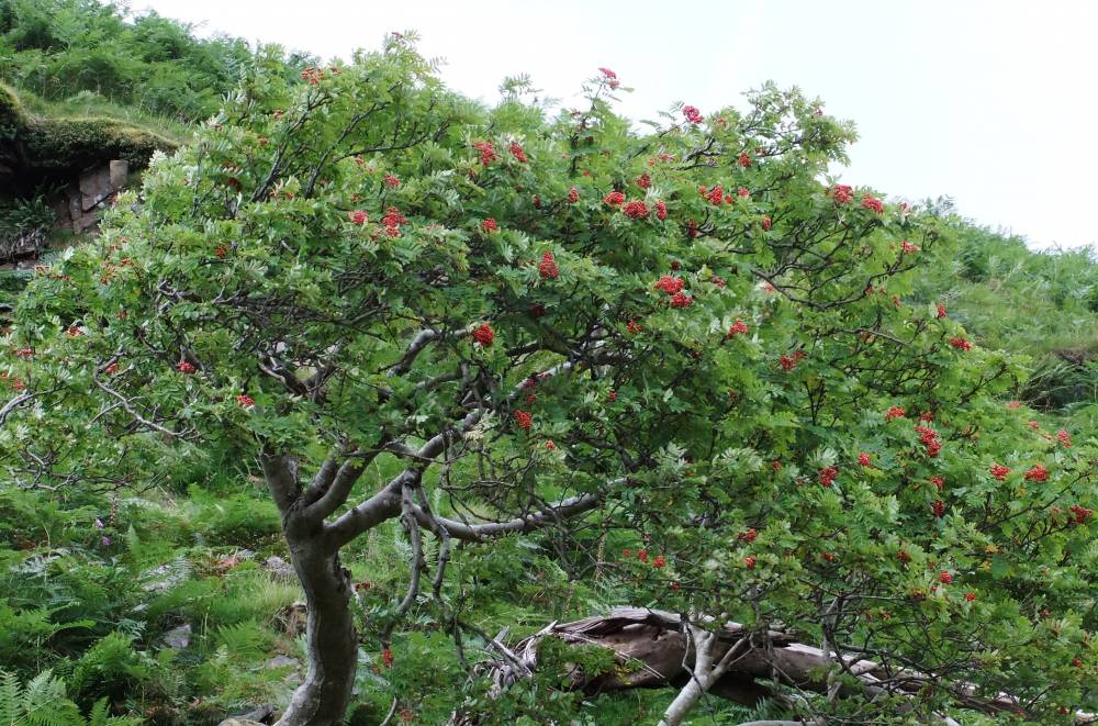
| Image 4 Description | Ancient rowan. | 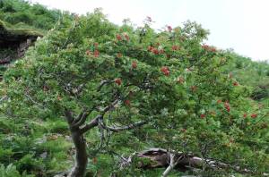 |
| Image 5 ID | 1443 Click image to enlarge |
| Image 5 Description | Ancient rowan. Fragmented remains, a last survivor, no regeneration here! | 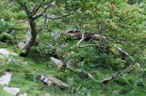 |
| Image 6 ID | 1444 Click image to enlarge |
| Image 6 Description | The isolated juniper |  |