|
| *****SWAAG_ID***** | 382 |
| Date Entered | 04/12/2011 |
| Updated on | 04/12/2011 |
| Recorded by | Tim Laurie |
| Category | Tree Site Record |
| Record Type | Botanical HER |
| SWAAG Site Name | |
| Site Type | |
| Site Name | |
| Site Description | |
| Site Access | Public Access Land |
| Location | MukerCP. Swinner Gill. Head of Ravine |
| Civil Parish | Muker |
| Brit. National Grid | NY 9115 0120 |
| Altitude | 400m |
| Geology | Stream cut ravine through Main Limestone. |
| Record Name | MUK157 Swinnergill. Upper section. Isolated Juniper with Yew, Sallow etc |
| Record Description | This record is the first of four seperate records at Swinner Gill and is the upper Ravine (Upstream of the Footpath crossing) centred on the isolated juniper which grows with yew and sallow on top edge of the cliff at the head of the ravine on the west side.
Vegetation not yet recorded. |
| Dimensions | See photographs. |
| Geographical area | Upper Swaledale |
| Species | Yew with juniper |
| Scientific Name | |
| Common / Notable Species | Sallow, Ash, Holly etc Details to follow. |
| Tree and / or Stem Girth | |
| Tree: Position / Form / Status | |
| Tree Site ID | 0 |
| Associated Site SWAAG ID | 0 |
| Additional Notes | Further records at Swinner Gill include the small ravine above Swinner Gill Kirk recorded previously and others relate to the lower limestone cliffs formed by the Main and Underset Limestones on the East Side, the corresponding cliffs on the west side, the uppermost cliff on the east side with an isolated Yew at 430m AOD and finally Fair Yew End which is an isolated limestone cliff on the eastern side at the entrance to Swinner Gill. |
| Image 1 ID | 1572 Click image to enlarge |
| Image 1 Description | Swinner Gill from Kisdon. Note the cliffs at different levels, thr lower cliffs formed by the limestones. The higher edges formed by chert and sandstone strata. | 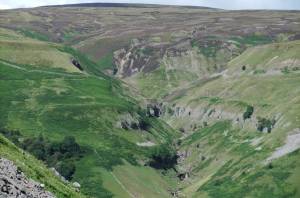 |
| Image 2 ID | 1573 Click image to enlarge |
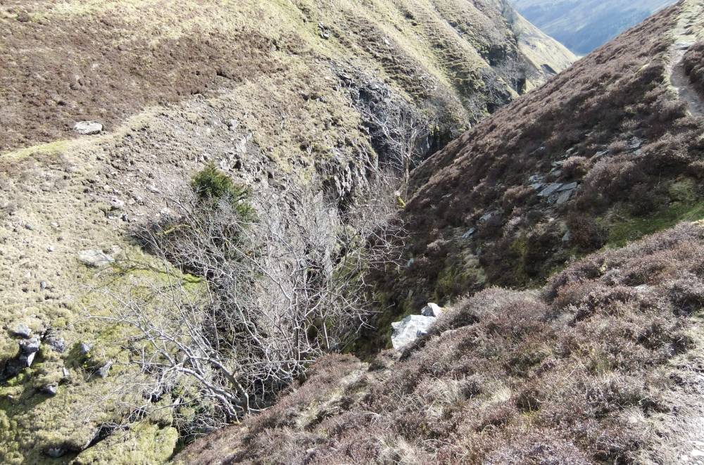
| Image 2 Description | The top of the ravine. | 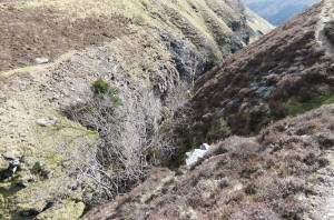 |
| Image 3 ID | 1574 Click image to enlarge |
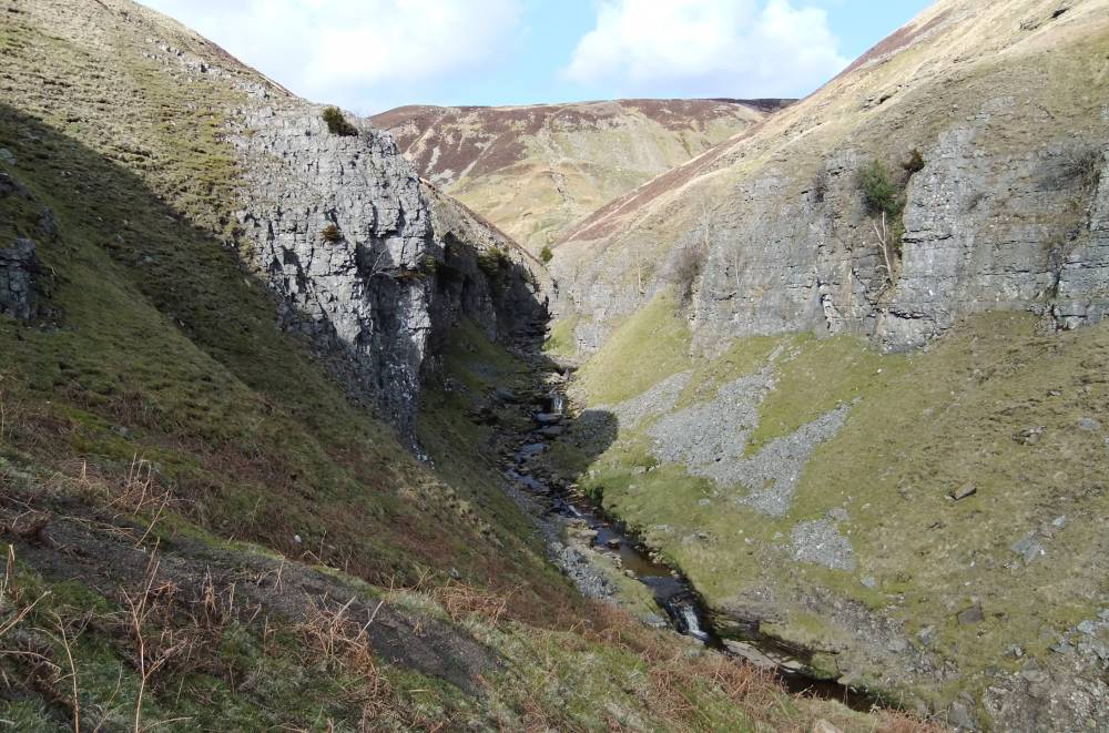
| Image 3 Description | View of the ravine upstream from the footpath. |  |
| Image 4 ID | 1575 Click image to enlarge |
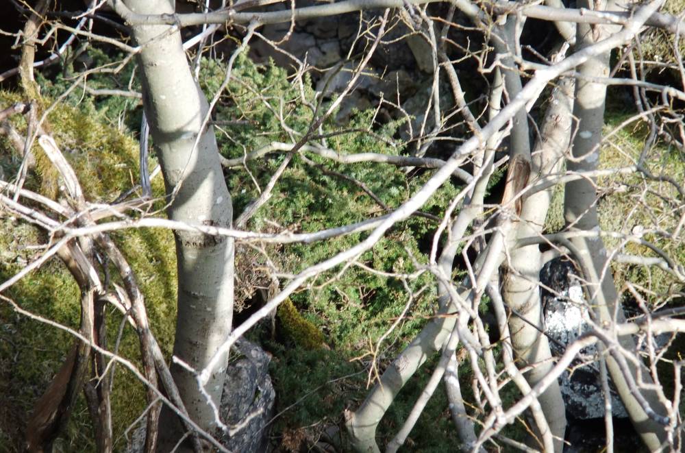
| Image 4 Description | Isolated juniper on cliff. | 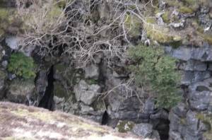 |
| Image 5 ID | 1576 Click image to enlarge |
| Image 5 Description | Isolated juniper with sallow. |  |