|
| *****SWAAG_ID***** | 467 |
| Date Entered | 27/02/2012 |
| Updated on | 04/04/2016 |
| Recorded by | Tim Laurie |
| Category | Burnt Mound |
| Record Type | Archaeology |
| SWAAG Site Name | |
| Site Type | |
| Site Name | |
| Site Description | |
| Site Access | Private |
| Record Date | 25/02/2011 |
| Location | Crackpot Side |
| Civil Parish | Grinton |
| Brit. National Grid | SD 96124 96844 |
| Altitude | 377m |
| Geology | Drift over Middle Limestone |
| Record Name | Burnt mound on Crackpot Side |
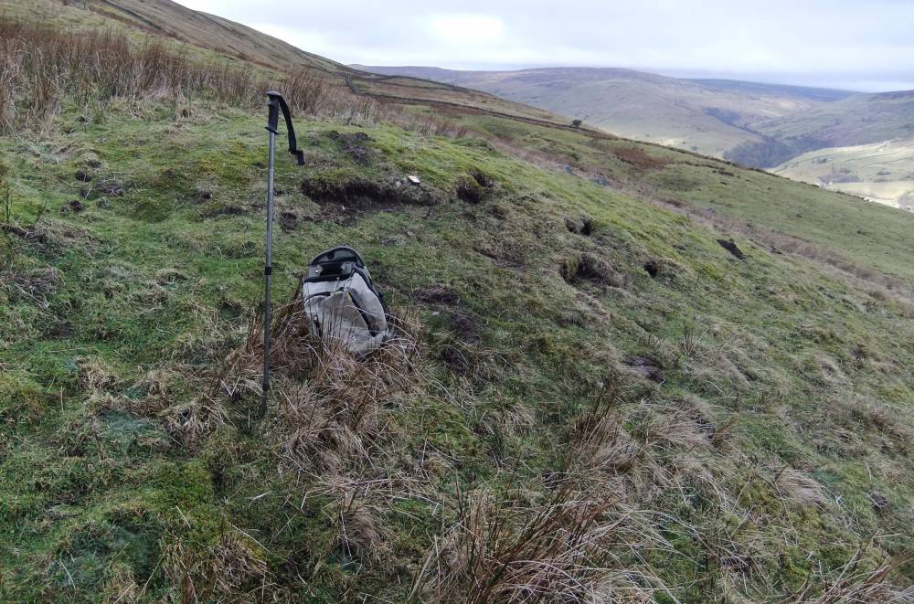
| Record Description | Medium burnt mound in steep sloping pasture at spring line with levelled platform 10m*9m overall.
The mound is of the characteristic double hump form with central trough marked by rushes and levelled platform which would provide the stance for a timber framed shelter.
Such platforms are occasionally associated with burnt mounds on sloping ground. |
| Dimensions | |
| Geographical area | |
| Species | |
| Scientific Name | |
| Common / Notable Species | |
| Tree and / or Stem Girth | |
| Tree: Position / Form / Status | |
| Tree Site ID | 0 |
| Associated Site SWAAG ID | 0 |
| Additional Notes | |
| Image 1 ID | 2327 Click image to enlarge |
| Image 1 Description | Burnt mound on Crackpot Side with visible burnt stone. |  |
| Image 2 ID | 2328 Click image to enlarge |
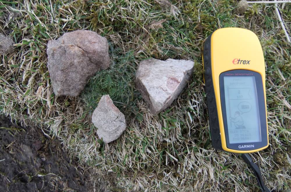
| Image 2 Description | Burnt stone. Detail. |  |
| Image 3 ID | 2329 Click image to enlarge |
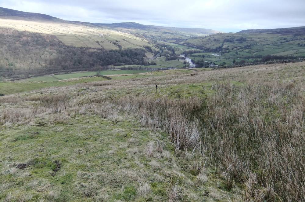
| Image 3 Description | View of burnt mound eastward down Swaledale. |  |