|
| *****SWAAG_ID***** | 483 |
| Date Entered | 27/03/2012 |
| Updated on | 27/03/2012 |
| Recorded by | Stephen Eastmead |
| Category | Photographic Record |
| Record Type | General HER |
| SWAAG Site Name | |
| Site Type | |
| Site Name | |
| Site Description | |
| Site Access | Public Footpath |
| Record Date | 27/03/2012 |
| Location | Images taken along Fremington Edge |
| Civil Parish | Reeth |
| Brit. National Grid | NZ 03 01 |
| Altitude | 410m |
| Geology | |
| Record Name | Images taken along Fremington Edge |
| Record Description | SWAAG Record 483 images are free for use providing that they are credited as shown here:
Image copyright notice: Stephen Eastmead, Swaledale and Arkengarthdale Archaeology Group, swaag.org |
| Dimensions | |
| Geographical area | |
| Species | |
| Scientific Name | |
| Common / Notable Species | |
| Tree and / or Stem Girth | |
| Tree: Position / Form / Status | |
| Tree Site ID | 0 |
| Associated Site SWAAG ID | 0 |
| Additional Notes | |
| Image 1 ID | 2478 Click image to enlarge |
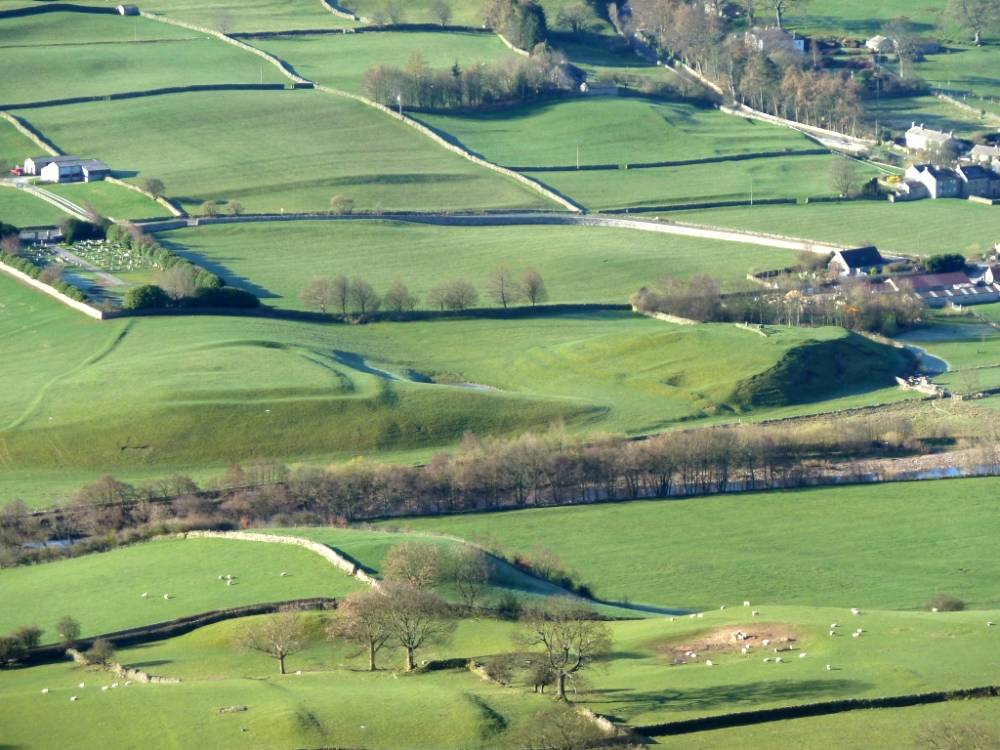
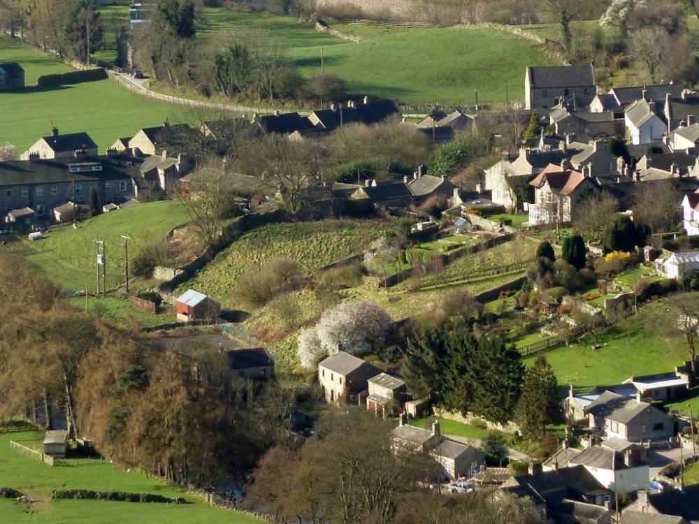
| Image 1 Description | Multi-period settlement below Cogden Hall near Grinton | 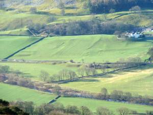 |
| Image 2 ID | 2479 Click image to enlarge |
| Image 2 Description | Grinton fortified glacial mounds |  |
| Image 3 ID | 2480 Click image to enlarge |
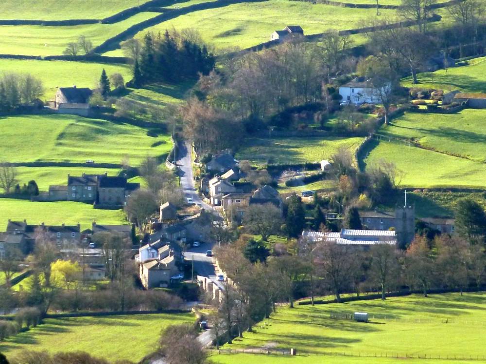
| Image 3 Description | Grinton | 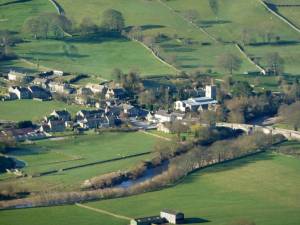 |
| Image 4 ID | 2481 Click image to enlarge |
| Image 4 Description | Grinton showing medieval fields | 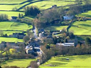 |
| Image 5 ID | 2482 Click image to enlarge |
| Image 5 Description | Harker Mires | 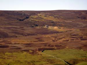 |
| Image 6 ID | 2483 Click image to enlarge |
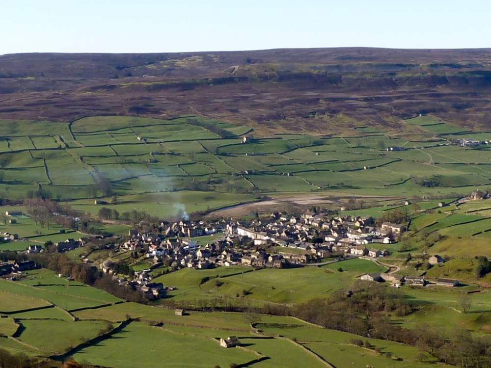
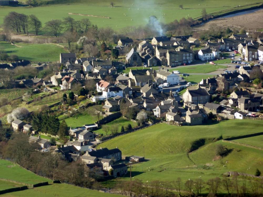
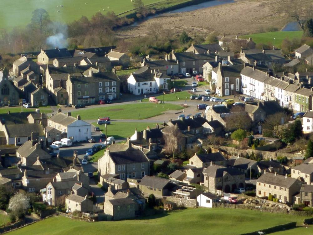
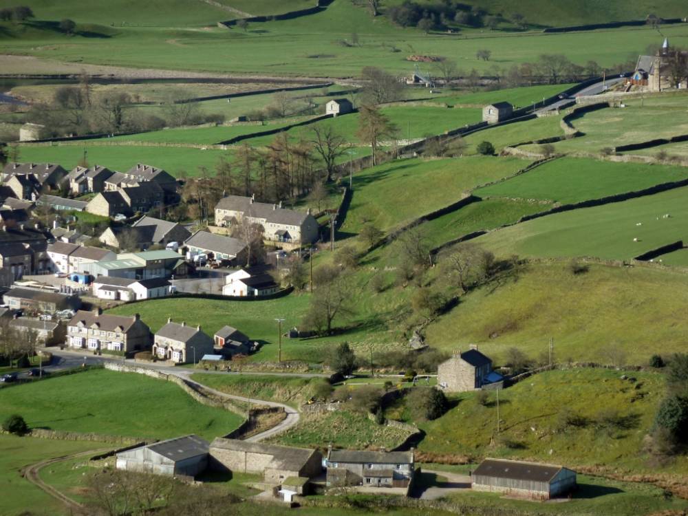
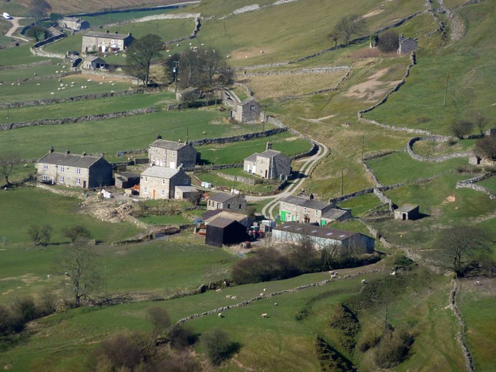
| Image 6 Description | Images 6 to 13 Reeth | 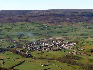 |
| Image 7 ID | 2484 Click image to enlarge |
| Image 7 Description | Images 6 to 13 Reeth | 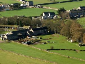 |
| Image 8 ID | 2485 Click image to enlarge |
| Image 8 Description | Images 6 to 13 Reeth | 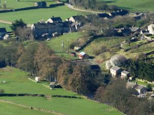 |
| Image 9 ID | 2486 Click image to enlarge |
| Image 9 Description | Images 6 to 13 Reeth |  |
| Image 10 ID | 2487 Click image to enlarge |
| Image 10 Description | Images 6 to 13 Reeth |  |
| Image 11 ID | 2488 |
| Image 11 Description | Images 6 to 13 Reeth |  |
| Image 12 ID | 2489 |
| Image 12 Description | Images 6 to 13 Reeth | 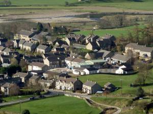 |
| Image 13 ID | 2490 |
| Image 13 Description | Images 6 to 13 Reeth |  |
| Image 14 ID | 2491 |
| Image 14 Description | Prehistoric Calver Hill and Reeth Low Moor | 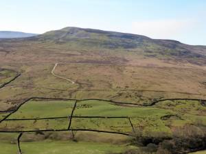 |
| Image 15 ID | 2492 |
| Image 15 Description | Arkle Town | 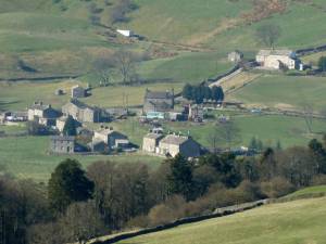 |
| Image 16 ID | 2493 |
| Image 16 Description | Booze | 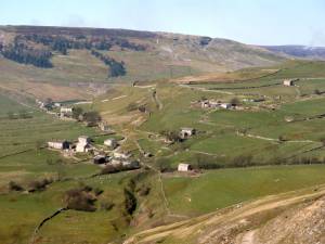 |
| Image 17 ID | 2494 |
| Image 17 Description | Booze |  |
| Image 18 ID | 2495 |
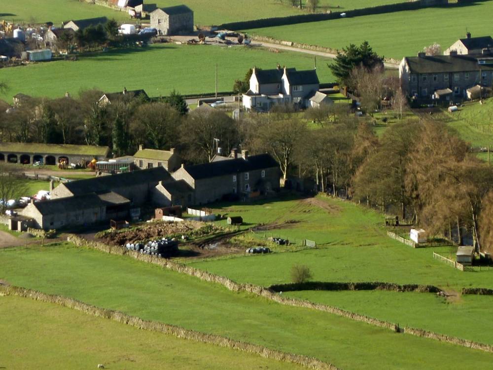
| Image 18 Description | Storthwaite Hall and Farm | 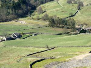 |
| Image 19 ID | 2496 |
| Image 19 Description | Storthwaite Hall | 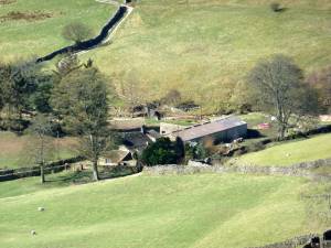 |
| Image 20 ID | 2497 |
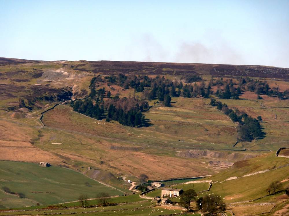
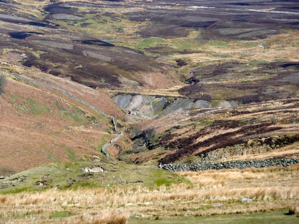
| Image 20 Description | Turf Moor Hush and Tottergill |  |
| Image 21 ID | 2498 |
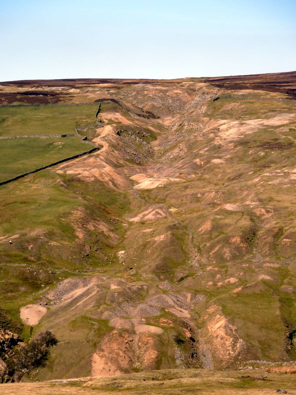
| Image 21 Description | Tanner Rake | 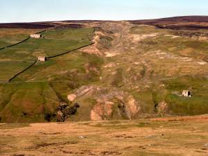 |
| Image 22 ID | 2501 |
| Image 22 Description | Tanner Rake |  |
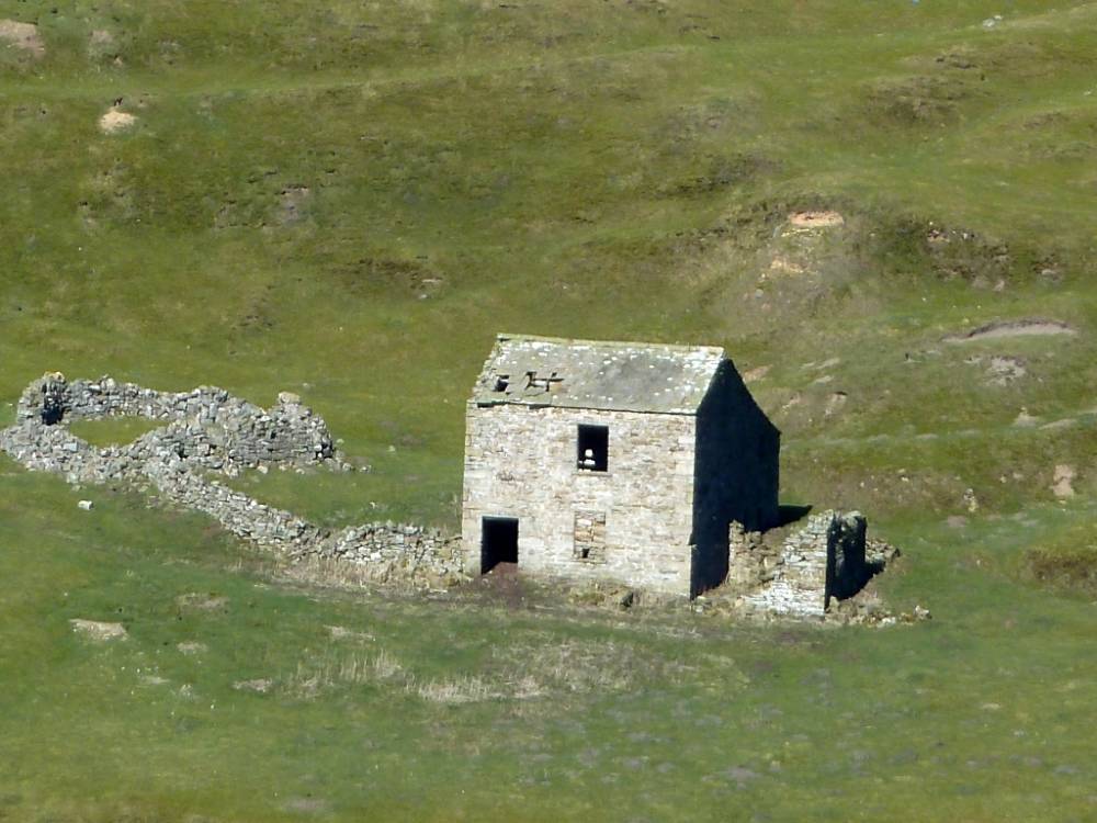
| Image 23 ID | 2499 |
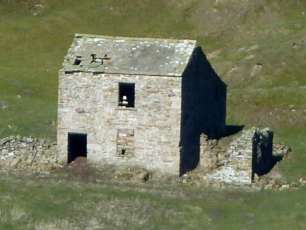
| Image 23 Description | Cockle Shell House |  |
| Image 24 ID | 2500 |
| Image 24 Description | Peat Moor Green | 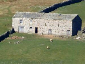 |
| Image 25 ID | 2502 |
| Image 25 Description | Sleigill House | 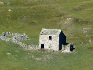 |
| Image 26 ID | 2503 |
| Image 26 Description | Sleigill House |  |
| Image 27 ID | 2504 |
| Image 27 Description | Washy Green lead mine and waterwheel race |  |