|
| *****SWAAG_ID***** | 279 |
| Date Entered | 27/09/2011 |
| Updated on | 27/09/2011 |
| Recorded by | Tim Laurie |
| Category | Burial Mounds and Cairns |
| Record Type | Archaeology |
| SWAAG Site Name | |
| Site Type | |
| Site Name | |
| Site Description | |
| Site Access | Private |
| Record Date | 14/12/2007 |
| Location | Langthwaite. In pasture on west side of road opposite Car Park |
| Civil Parish | Arkengarthdale |
| Brit. National Grid | NZ 0047 0236 |
| Altitude | 265m |
| Geology | Fluvio-glacial river terrace. |
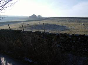
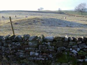
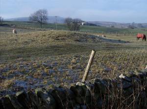
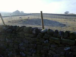
| Record Name | Round barrow mound at Langthwaite |
| Record Description | Low circular mound approximately 8m diameter in pasture on west side of road opposite the Langthwaite YDNP Car Park. Undisturbed when first recognised and photographed in December 2007 (See photos)but since these photos were taken, the mound has been slighted by a new vehicle track.
|
| Dimensions | 8m diameter, estimated. |
| Geographical area | |
| Species | |
| Scientific Name | |
| Common / Notable Species | |
| Tree and / or Stem Girth | |
| Tree: Position / Form / Status | |
| Tree Site ID | 0 |
| Associated Site SWAAG ID | 0 |
| Additional Notes | This regular circular mound is a probable burial mound or barrow. One of a number of round barrows in Swaledale located on terraces close to the river. There are indications that an early field system is present in the pastures west of Langthwaite,( to be recorded seperately). Undisturbed round barrows are rare and this should be considered a candidate for scheduled protection.
An increasing number of monuments of Late Neolithic or Early Bronze Age character are being recognised in Arkengarthdale. This may provide evidence for the use of a trackwaay through Arkengarthdaleand over Stainmore from the Vale of Mowbray and York, from the the south and east to the Vale of Eden and the north and west.
Upper Swaledale and Wensleydale are not strategic routeways over the Pennines, as has been suggested. |
| Image 1 ID | 1041 Click image to enlarge |
| Image 1 Description | Langthwaite. Round barrow. Photographed on 14 December 2007 when undisturbed by new track. |  |
| Image 2 ID | 1042 Click image to enlarge |
| Image 2 Description | Langthwaite. Round barrow. Photographed on 14 December 2007 when undisturbed by new track. |  |
| Image 3 ID | 1043 Click image to enlarge |
| Image 3 Description | Langthwaite. Round barrow. Photographed on 14 December 2007 when undisturbed by new track. |  |
| Image 4 ID | 1044 Click image to enlarge |
| Image 4 Description | Langthwaite. Round barrow. Photographed on 14 December 2007 when undisturbed by new track. |  |


