|
| *****SWAAG_ID***** | 16 |
| Date Entered | 09/01/2011 |
| Updated on | 30/03/2012 |
| Recorded by | Tim Laurie |
| Category | Burnt Mound |
| Record Type | Archaeology |
| SWAAG Site Name | |
| Site Type | |
| Site Name | |
| Site Description | |
| Site Access | Public Access Land |
| Record Date | 28/03/2012 |
| Location | Grinton CP. In pasture 200m south of High Lane, Whitaside |
| Civil Parish | Grinton |
| Brit. National Grid | SD 99080 97021 |
| Altitude | 390m |
| Geology | Spring rise above the Middle Limestone |
| Record Name | Grinton CP. Burnt mound close to unenclosed round house settlement (recorded seperately) In pasture 200m south of High Lane, Whitaside. |
| Record Description | Prominent burnt mound of characteristic crescentic double hump form at spring rise in pasture. Ring cairn or unenclosed round house and later field system nearby. |
| Dimensions | Medium, average |
| Geographical area | |
| Species | |
| Scientific Name | |
| Common / Notable Species | |
| Tree and / or Stem Girth | |
| Tree: Position / Form / Status | |
| Tree Site ID | 0 |
| Associated Site SWAAG ID | 0 |
| Additional Notes | Dimensions.
Size: Small <6m, Medium 6m-9m, Large 10m-15m, Extra large >15m.
Height: Low <0.5m, Average 0.5-1.0m, High >1.0m. |
| Image 1 ID | 2536 Click image to enlarge |
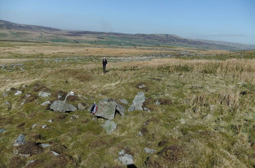
| Image 1 Description | The burnt mound, view to north west and Calver. | 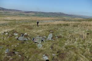 |
| Image 2 ID | 2532 Click image to enlarge |
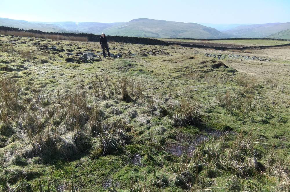
| Image 2 Description | The burnt mound viewed from east. | 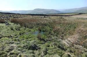 |
| Image 3 ID | 2533 Click image to enlarge |
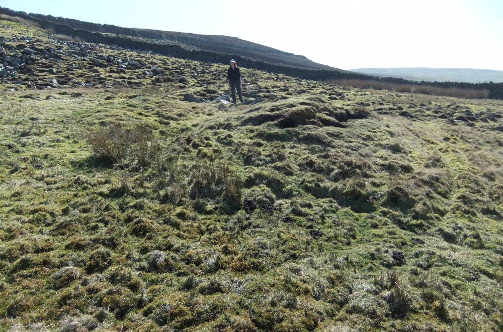
| Image 3 Description | | 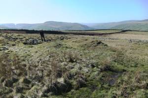 |
| Image 4 ID | 2534 Click image to enlarge |
| Image 4 Description | |  |
| Image 5 ID | 2535 Click image to enlarge |
| Image 5 Description | | 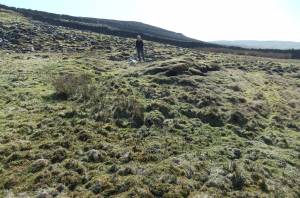 |
| Image 6 ID | 2537 Click image to enlarge |
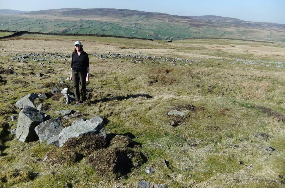
| Image 6 Description | Note the curving stone bank at the rear of the burnt mound. | 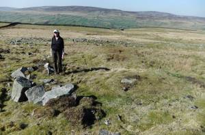 |