|
| *****SWAAG_ID***** | 24 |
| Date Entered | 09/01/2011 |
| Updated on | 13/12/2011 |
| Recorded by | Tim Laurie |
| Category | Burnt Mound |
| Record Type | Archaeology |
| SWAAG Site Name | |
| Site Type | |
| Site Name | |
| Site Description | |
| Site Access | Army Range |
| Location | Marske. Cordilleras Farm. In pasture approx 200m northof small arms range. |
| Civil Parish | Marske |
| Brit. National Grid | NZ 0949 0408 |
| Altitude | 325m |
| Geology | Drift over Main or Richmond Chert. |
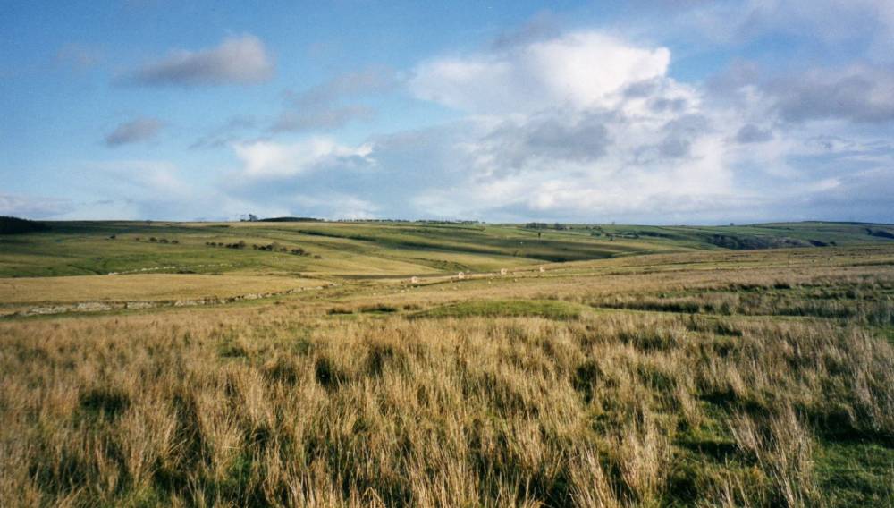
| Record Name | Cordilleras Farm Small Arms Range. Large turf covered burnt mound in pasture on north bank of stream. |
| Record Description | Large but low and inconpicuous burnt mound, turf covered, at spring stream in wet pasture North of small arms range.
Visible from the road.
A further large burnt mound is located at the spring rise some 300m west of the road. |
| Dimensions | Large, high |
| Geographical area | |
| Species | |
| Scientific Name | |
| Common / Notable Species | |
| Tree and / or Stem Girth | |
| Tree: Position / Form / Status | |
| Tree Site ID | 0 |
| Associated Site SWAAG ID | 0 |
| Additional Notes | Dimensions.
Size: Small <6m, Medium 6m-9m, Large 10m-15m, Extra large >15m.
Height: Low <0.5m, Average 0.5-1.0m, High >1.0m. |
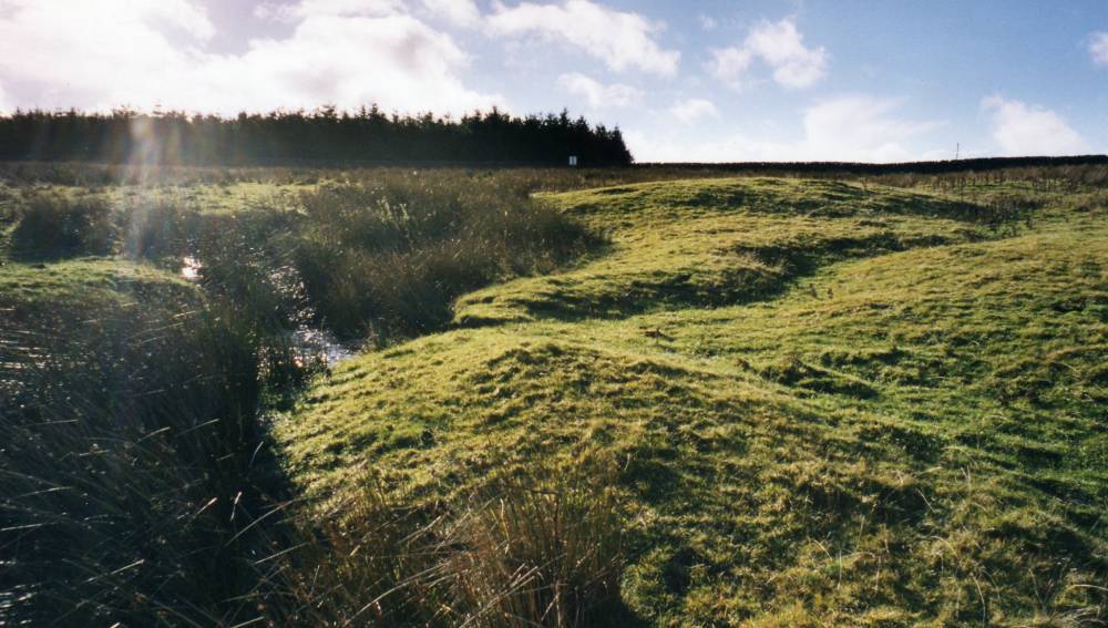
| Image 1 ID | 653 Click image to enlarge |
| Image 1 Description | The Cordilleras Ranges burnt mound. Burnt stone is visible where the mound has been eroded by the stream and in rabbit scrapes. |  |
| Image 2 ID | 654 Click image to enlarge |
| Image 2 Description | | 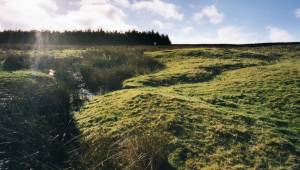 |
| Image 3 ID | 1686 Click image to enlarge |
| Image 3 Description | | 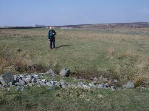 |