|
| *****SWAAG_ID***** | 176 |
| Date Entered | 21/04/2011 |
| Updated on | 05/01/2012 |
| Recorded by | Ric Carter |
| Category | Burial Mounds and Cairns |
| Record Type | Archaeology |
| SWAAG Site Name | |
| Site Type | |
| Site Name | |
| Site Description | |
| Site Access | Public Access Land |
| Record Date | 08/04/2011 |
| Location | Calver Hill (South) Reeth |
| Civil Parish | Reeth |
| Brit. National Grid | NZ 00939 00072 |
| Altitude | 403m |
| Geology | Limestone overlaid by peat |
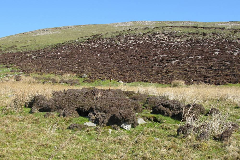
| Record Name | Round Cairn |
| Record Description | A vegetated Round Cairn, of probable funerary purpose, on gently sloping south-facing ground below Calver Hill |
| Dimensions | perimeter approx 30m. |
| Geographical area | |
| Species | |
| Scientific Name | |
| Common / Notable Species | |
| Tree and / or Stem Girth | |
| Tree: Position / Form / Status | |
| Tree Site ID | 0 |
| Associated Site SWAAG ID | 0 |
| Additional Notes | Situated approx. 30m from a spring rise, and with other small cairns in the vicinity, a burnt mound and a double round house settlement.For further details of these see Coaxial Field Systems in Swaledale - A Reassessment; T.C.Laurie, N.W.Mahaffy & R.F.White (SWAAG Publications);figure 6. |
| Image 1 ID | 582 Click image to enlarge |
| Image 1 Description | Calver Hill (South) Round Cairn |  |