|
| *****SWAAG_ID***** | 164 |
| Date Entered | 24/03/2011 |
| Updated on | 24/03/2011 |
| Recorded by | Tim Laurie |
| Category | Vernacular Record |
| Record Type | Miscellaneous |
| SWAAG Site Name | |
| Site Type | |
| Site Name | |
| Site Description | |
| Site Access | Public Access Land |
| Record Date | 21/03/2011 |
| Location | Great Punchard Gill |
| Civil Parish | Arkengarthdale |
| Brit. National Grid | NY 96040 04379 |
| Altitude | 405m |
| Geology | Streamside at bridge / ford over strata below the Main Limestone |
| Record Name | Sheepfold / sheepwash at Great Punchard Gill |
| Record Description | Large and complex sheepfold at streamside location characteristic of sheepwash sites although no definite evidence for the existence of the dam associated with sheepwash sites was visible. Erosion could have removed a dam if a dam once existed here. |
| Dimensions | See photos |
| Geographical area | |
| Species | |
| Scientific Name | |
| Common / Notable Species | |
| Tree and / or Stem Girth | |
| Tree: Position / Form / Status | |
| Tree Site ID | 0 |
| Associated Site SWAAG ID | 0 |
| Additional Notes | The size of this sheepfold located at the most convenient ford (now a new bridge) over Great Punchard Gill indicates that it served a very large area of upland moorland. |
| Image 1 ID | 464 Click image to enlarge |
| Image 1 Description | Great Punchard sheepfold/washfold | 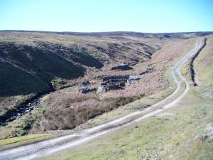 |
| Image 2 ID | 465 Click image to enlarge |
| Image 2 Description | | 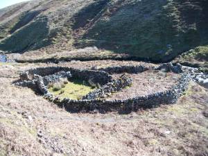 |
| Image 3 ID | 466 Click image to enlarge |
| Image 3 Description | | 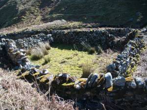 |
| Image 4 ID | 467 Click image to enlarge |
| Image 4 Description | |  |
| Image 5 ID | 468 Click image to enlarge |
| Image 5 Description | | 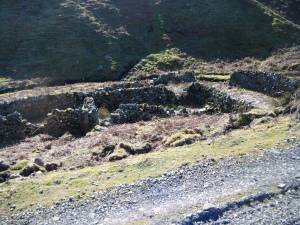 |
| Image 6 ID | 469 Click image to enlarge |
| Image 6 Description | | 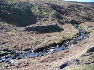 |
| Image 7 ID | 470 Click image to enlarge |
| Image 7 Description | | 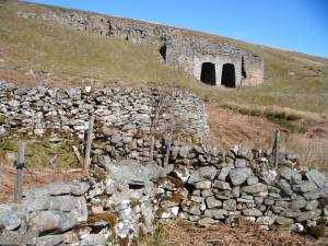 |
| Image 8 ID | 471 Click image to enlarge |
| Image 8 Description | | 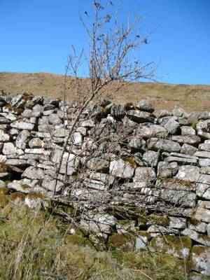 |
| Image 9 ID | 472 Click image to enlarge |
| Image 9 Description | Great Punchard Sheepfold. Detail with reused carpentry. | 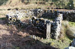 |


