|
| *****SWAAG_ID***** | 168 |
| Date Entered | 26/03/2011 |
| Updated on | 04/11/2011 |
| Recorded by | Tim Laurie |
| Category | Tree Site Record |
| Record Type | Botanical HER |
| SWAAG Site Name | |
| Site Type | |
| Site Name | |
| Site Description | |
| Site Access | Public Access Land |
| Record Date | 16/10/2010 |
| Location | Applegarth, Deepdale Lower Scar |
| Civil Parish | Richmond |
| Brit. National Grid | NZ 1291 0196 |
| Altitude | 275m |
| Geology | The Main Limestone |
| Record Name | Richmond CP. Applegarth. Deepdale Lower Scar. |
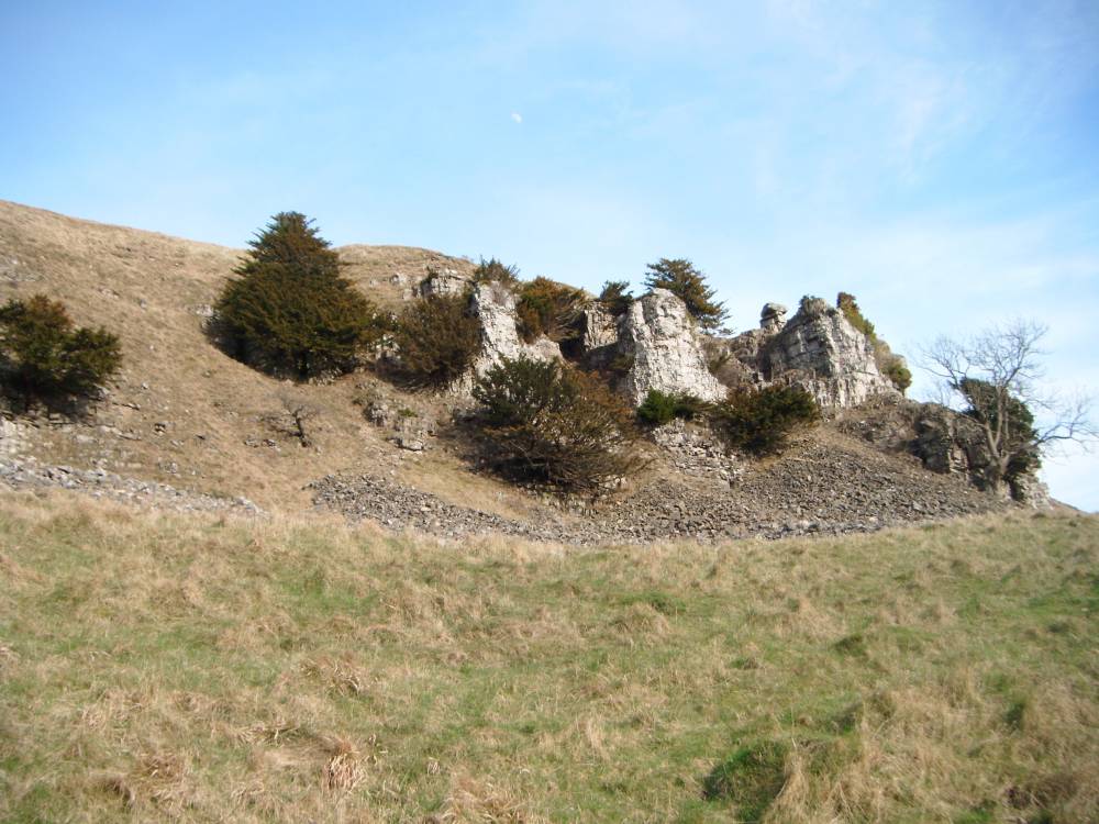
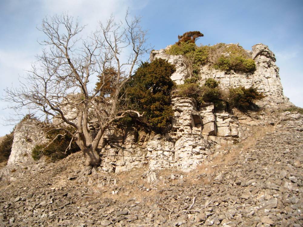
| Record Description | Deepdale Lower Scar is the limestone cliff on the eastern side of Deepdale, at the junction between Deepdale and Whitcliffe Scar. This Scar supports a fine population of yews, together with ash, hazel, rowan, blackthorn, hawthorn and ivy. The yews in particular are of interest in that they are predominately female, at one count of 22 yews no less than 19 were female, one male and two inaccessible. This prompts the question whether these trees are clones.
A very healthy population of yews of different age with several young yews, often showing signs of having been heavy grazed.
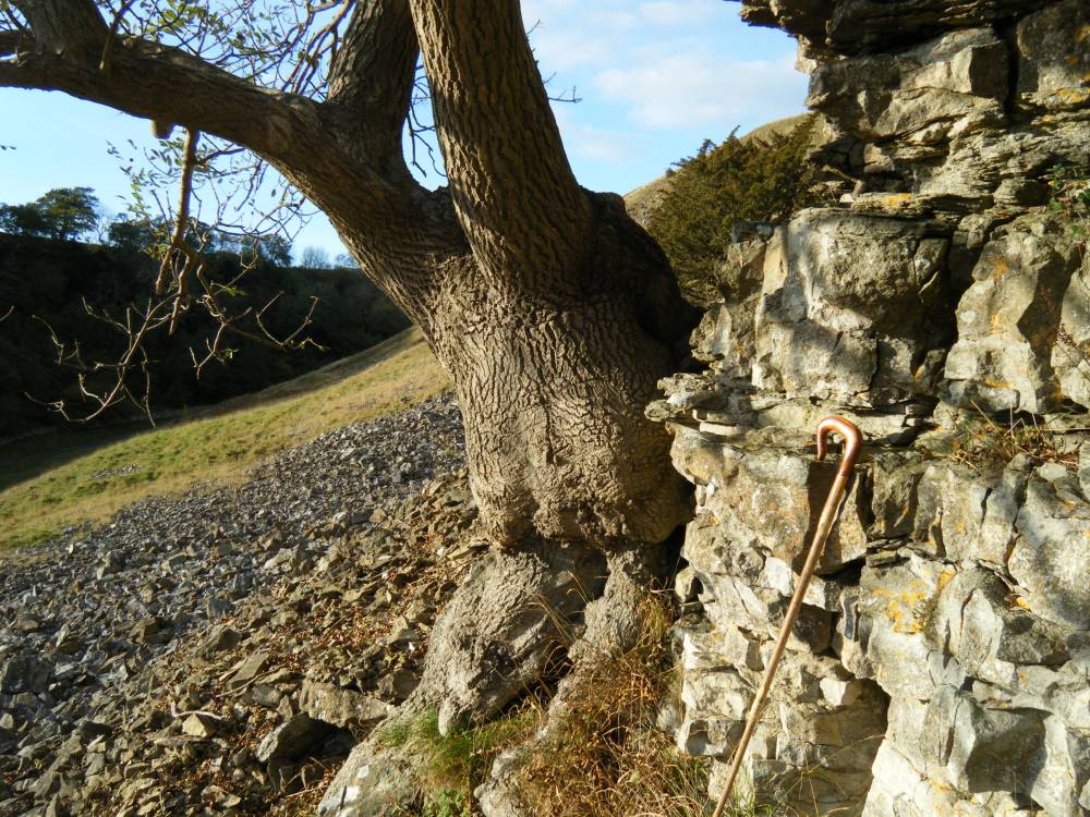
Wych elm are notably absent from this cliff. |
| Dimensions | See photos. |
| Geographical area | Lower Swaledale |
| Species | |
| Scientific Name | |
| Common / Notable Species | |
| Tree and / or Stem Girth | |
| Tree: Position / Form / Status | |
| Tree Site ID | 0 |
| Associated Site SWAAG ID | 0 |
| Additional Notes | This Scar is contiguous with the western end of Whitcliffe Scar which will be recorded separately. |
| Image 1 ID | 499 Click image to enlarge |
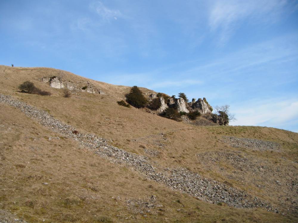
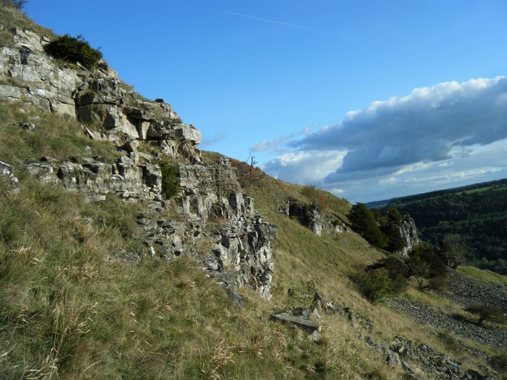
| Image 1 Description | Deepdale Lower Scar from road to East Applegarth |  |
| Image 2 ID | 500 Click image to enlarge |
| Image 2 Description | Deepdale Lower Scar | 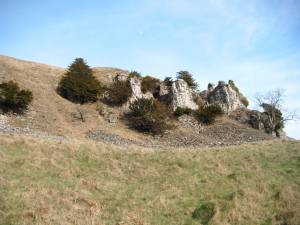 |
| Image 3 ID | 501 Click image to enlarge |
| Image 3 Description | Deepdale Lower Scar | 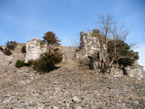 |
| Image 4 ID | 502 Click image to enlarge |
| Image 4 Description | Deepdale Lower Scar | 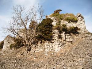 |
| Image 5 ID | 503 Click image to enlarge |
| Image 5 Description | Deepdale Lower Scar.View from North West with ash at base of the cliff. | 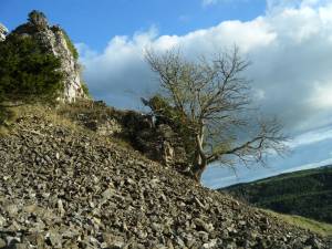 |
| Image 6 ID | 504 Click image to enlarge |
| Image 6 Description | Deepdale Lower Scar. Ash. Detail. |  |
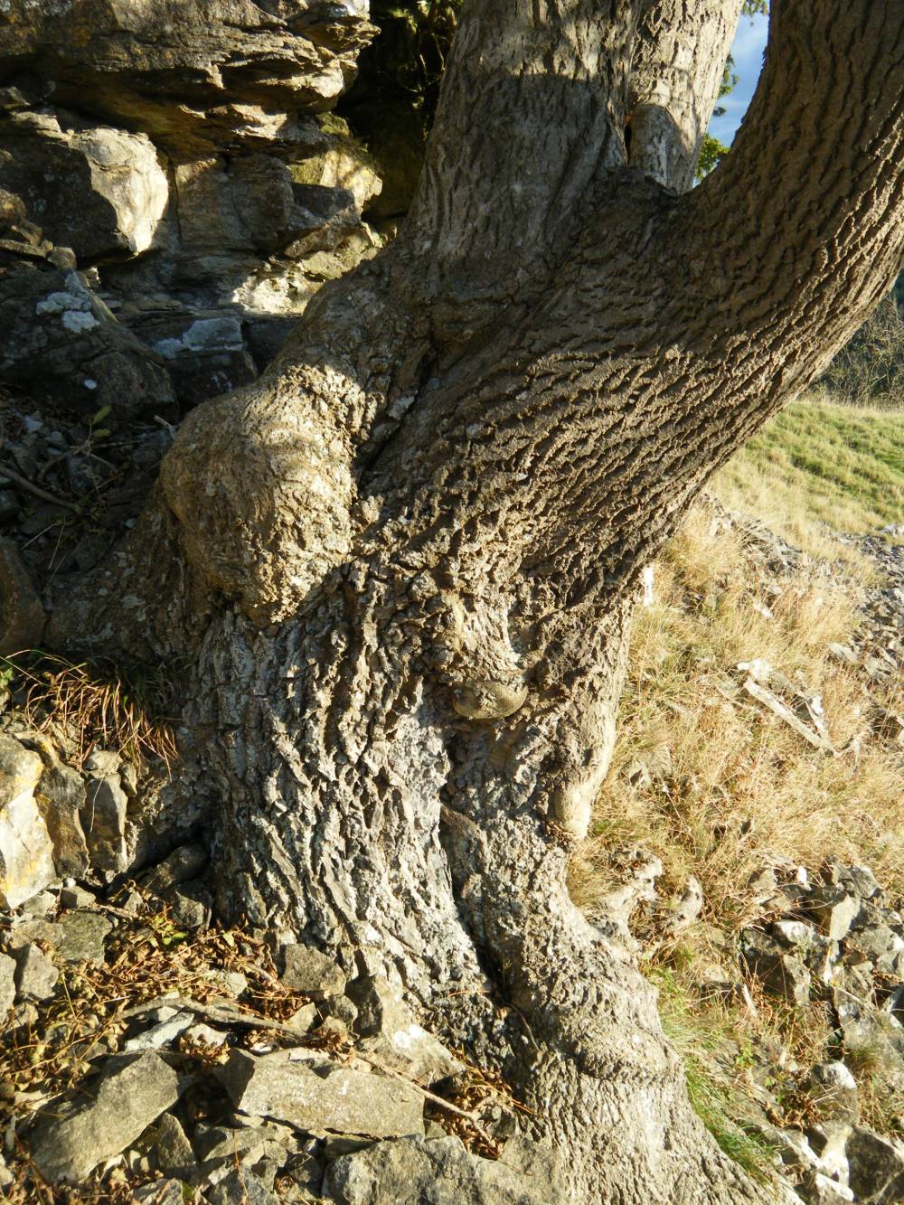
| Image 7 ID | 505 Click image to enlarge |
| Image 7 Description | Deepdale Lower Scar. Ash. Detail. | 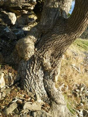 |
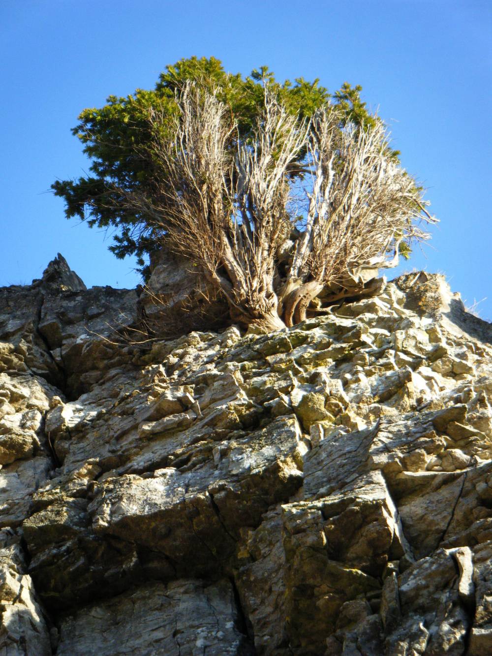
| Image 8 ID | 506 Click image to enlarge |
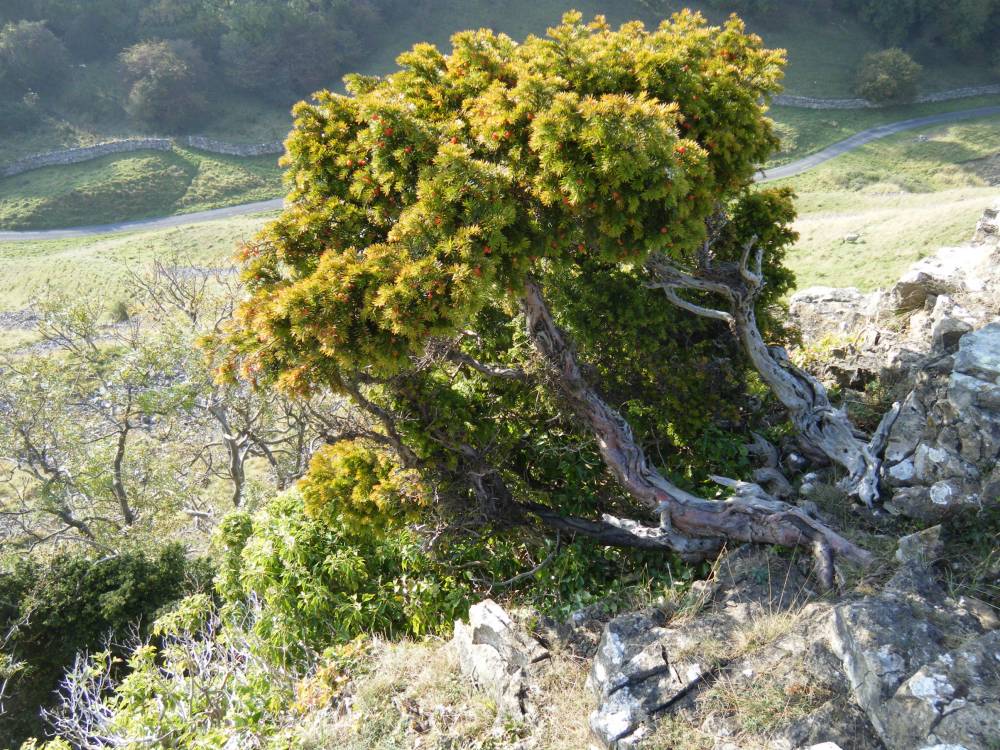
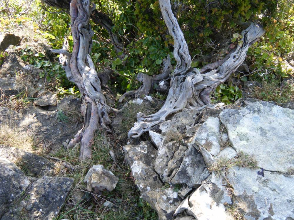
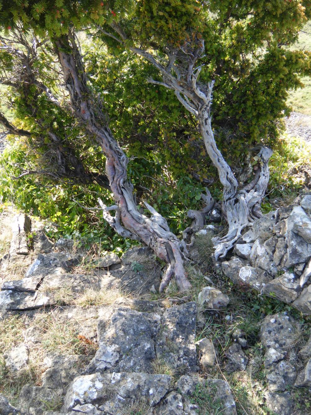
| Image 8 Description | Deepdale Lower Scar. Stunted and weathered yew at top of cliff. | 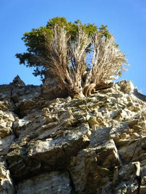 |
| Image 9 ID | 507 Click image to enlarge |
| Image 9 Description | Deepdale Lower Scar. Small yews at northern end of Scar. | 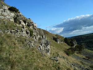 |
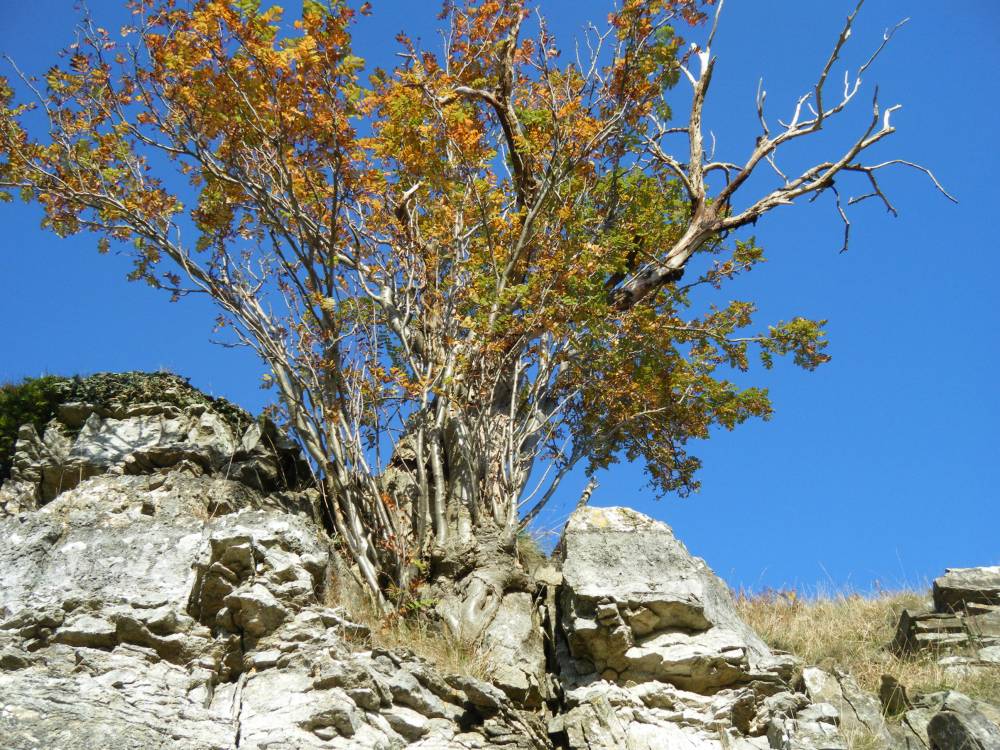
| Image 10 ID | 508 Click image to enlarge |
| Image 10 Description | Deepdale Lower Scar. Rowan and small yew at top of cliff, northern end of Scar. | 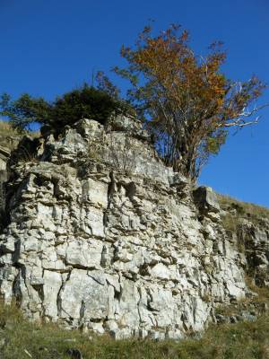 |
| Image 11 ID | 509 |
| Image 11 Description | Rowan at top of cliff. Northern end of Scar. |  |
| Image 12 ID | 510 |
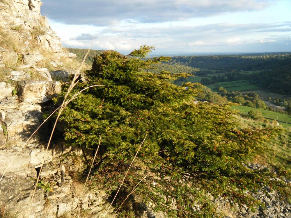
| Image 12 Description | Yew at top of cliff, with view to the South East and Vale of Mowbray. |  |
| Image 13 ID | 511 |
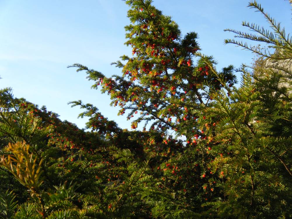
| Image 13 Description | Yew on face of cliff. Female. Detail | 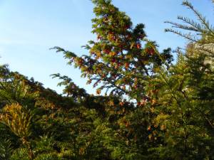 |
| Image 14 ID | 512 |
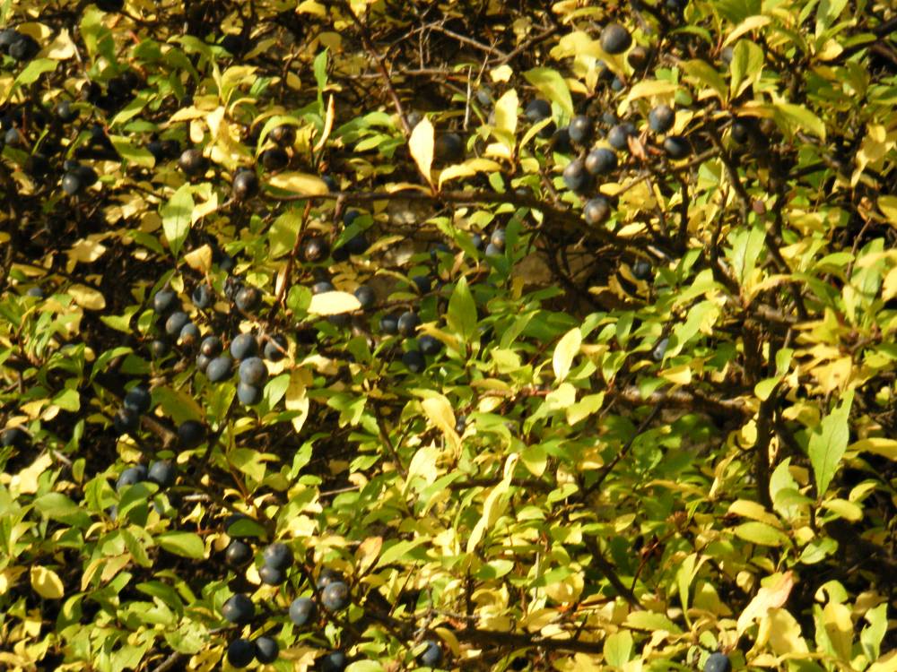
| Image 14 Description | Blackthorn or sloe on upper face of cliff, detail. |  |
| Image 15 ID | 513 |
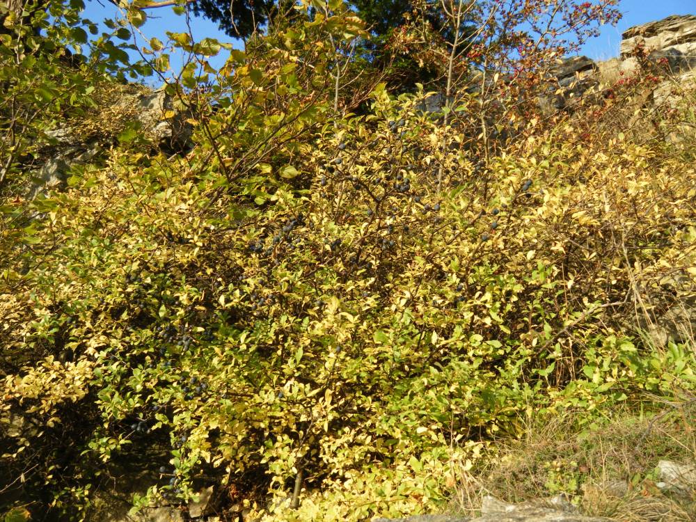
| Image 15 Description | Blackthorn or sloe on upper face of cliff. | 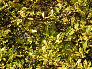 |
| Image 16 ID | 514 |
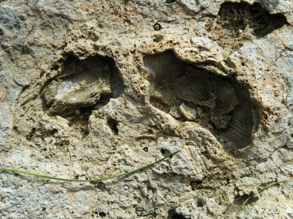
| Image 16 Description | Fossil. Lower Carboniferous.Single coral. Zaphrentis type. Top of cliff. |  |
| Image 19 ID | 517 |
| Image 19 Description | | 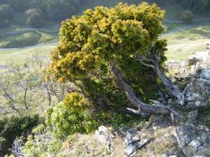 |
| Image 20 ID | 518 |
| Image 20 Description | Stunted yew. Top edge of the cliff. |  |
| Image 21 ID | 519 |
| Image 21 Description | Stunted yew. Top edge of the cliff. Detail | 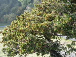 |
| Image 22 ID | 520 |
| Image 22 Description | Stunted yew. Top edge of the cliff. Detail |  |