|
| *****SWAAG_ID***** | 520 |
| Date Entered | 13/05/2012 |
| Updated on | 13/05/2012 |
| Recorded by | Tim Laurie |
| Category | Tree Site Record |
| Record Type | Botanical HER |
| SWAAG Site Name | |
| Site Type | |
| Site Name | |
| Site Description | |
| Site Access | Public Access Land |
| Record Date | 12/05/2012 |
| Location | Gilmonby CP. Stainmore. Sleightholme. Trough Heads. |
| Civil Parish | Not known |
| Brit. National Grid | NY |
| Altitude | |
| Geology | Stream cut gorge in Great Limestone with west bank cliffs formed from overlying sandstone strata. |
| Record Name | Stainmore. Sleightholme Beck. Trough Heads. |
| Record Description | Species-rich Limestone Ashwood with yews on both banks of the limestone gorge cut by Sleightholme Beck upstream of the limit of walled pastures at NY
Trees present include: Downy Birch, Wych Elm, Ash, Hazel, Bird Cherry,Yew,Rowan,Downy Rose, Sallow, Beech, Sycamore, White Fir.
The highlight of the woodland is the very large isolated and inaccessible yew tree which grows on the top edge of the sheer cliff on the west bank of the Gorge. Other fine yews grow on the eastern bank lower down.
The falls here are very fine after heavy rain, see photos. |
| Dimensions | See photos |
| Geographical area | Stainmore |
| Species | Yew with Limestone Ashwood Community. |
| Scientific Name | Taxus baccata |
| Common / Notable Species | Ash, Beech, Wych Elm, Hazel,Bird Cherry, Downy Birch, Downy Rose, Sallow, Rowan, Sycamore, Fir |
| Tree and / or Stem Girth | |
| Tree: Position / Form / Status | |
| Tree Site ID | 0 |
| Associated Site SWAAG ID | 0 |
| Additional Notes | The eastern side of this very attractive river gorge can be approached from the unfenced road to Sleightholme Farm using the footpath leading down to East Mellwaters Farm, this path traverses open moorland above the Trough Gorge which is not visible from the road. |
| Image 1 ID | 2845 Click image to enlarge |
| Image 1 Description | Trough Heads from the path to East Mellwaters. | 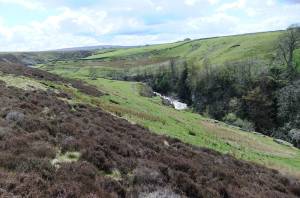 |
| Image 2 ID | 2844 Click image to enlarge |
| Image 2 Description | The Great Yew, note the strata of the west bank sandstone cliff has been destabilised by the roots of trees. | 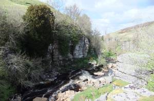 |
| Image 3 ID | 2843 Click image to enlarge |
| Image 3 Description | View of the upper gorge upstream. | 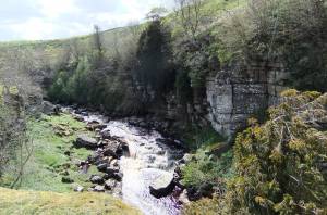 |
| Image 4 ID | 2842 Click image to enlarge |
| Image 4 Description | | 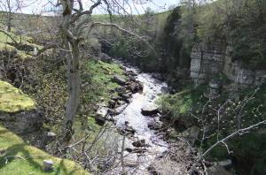 |
| Image 5 ID | 2850 Click image to enlarge |
| Image 5 Description | View downstream at the upper ravine. | 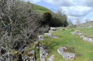 |
| Image 6 ID | 2855 Click image to enlarge |
| Image 6 Description | The falls at the top of the gorge. | 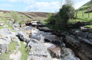 |
| Image 7 ID | 2846 Click image to enlarge |
| Image 7 Description | | 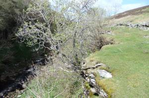 |
| Image 8 ID | 2847 Click image to enlarge |
| Image 8 Description | | 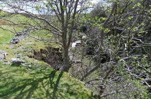 |
| Image 9 ID | 2848 Click image to enlarge |
| Image 9 Description | | 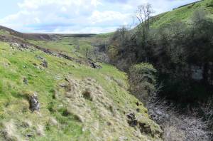 |
| Image 10 ID | 2849 Click image to enlarge |
| Image 10 Description | | 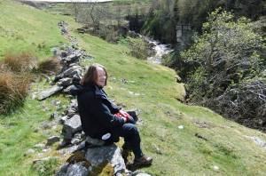 |


