|
| *****SWAAG_ID***** | 533 |
| Date Entered | 24/05/2012 |
| Updated on | 24/05/2012 |
| Recorded by | Tim Laurie |
| Category | Geological Record |
| Record Type | Geological HER |
| SWAAG Site Name | |
| Site Type | |
| Site Name | |
| Site Description | |
| Site Access | Public Access Land |
| Record Date | 23/05/2012 |
| Location | Great Punchard Gill |
| Civil Parish | Arkengarthdale |
| Brit. National Grid | NY 9488 0414 |
| Altitude | 512m |
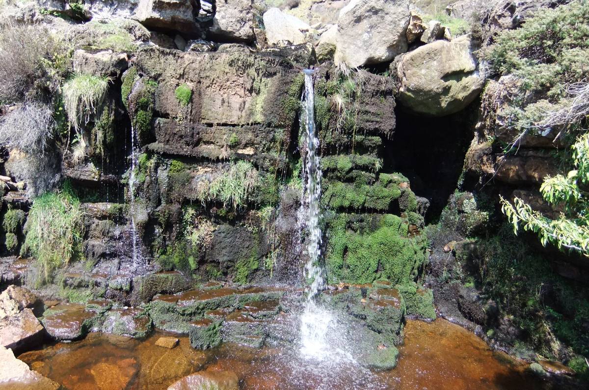
| Geology | Waterfall ravine cut by stream through Crow Limestone. |
| Record Name | Great Punchard Falls. Crow Limestone. |
| Record Description | Waterfall and ravine cut by stream through Crow Limestone. |
| Dimensions | See photos |
| Geographical area | |
| Species | |
| Scientific Name | |
| Common / Notable Species | |
| Tree and / or Stem Girth | |
| Tree: Position / Form / Status | |
| Tree Site ID | 0 |
| Associated Site SWAAG ID | 0 |
| Additional Notes | The Crow Limestone is probably the most prominant but rarely exposed or seen of the thin limestones which occur at intervals within the sandstones and mudstones above The Main Limestone.
The Crow Limestone marks the upper limit of mineralised strata of the North Pennine Orefield. |
| Image 1 ID | 2952 Click image to enlarge |
| Image 1 Description | Waterfall and Ravine. Great Punchard Gill | 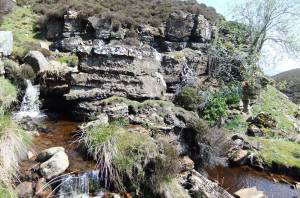 |
| Image 2 ID | 2953 Click image to enlarge |
| Image 2 Description | | 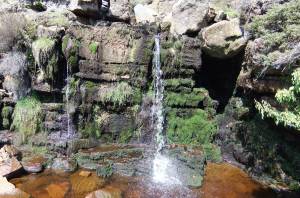 |
| Image 3 ID | 2954 Click image to enlarge |
| Image 3 Description | | 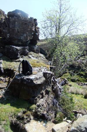 |