|
| *****SWAAG_ID***** | 79 |
| Date Entered | 12/01/2011 |
| Updated on | 21/12/2011 |
| Recorded by | Tim Laurie |
| Category | Burnt Mound |
| Record Type | Archaeology |
| SWAAG Site Name | |
| Site Type | |
| Site Name | |
| Site Description | |
| Site Access | Public Access Land |
| Record Date | 01/01/2005 |
| Location | Carperby Cum Thoresby CP: Peat Moor Lane |
| Civil Parish | Carperby Cum Thoresby |
| Brit. National Grid | SD 996 910 |
| Altitude | 348m |
| Geology | Spring stream rising at base of talus slope below the Main Limestone (Wegber Scar) |
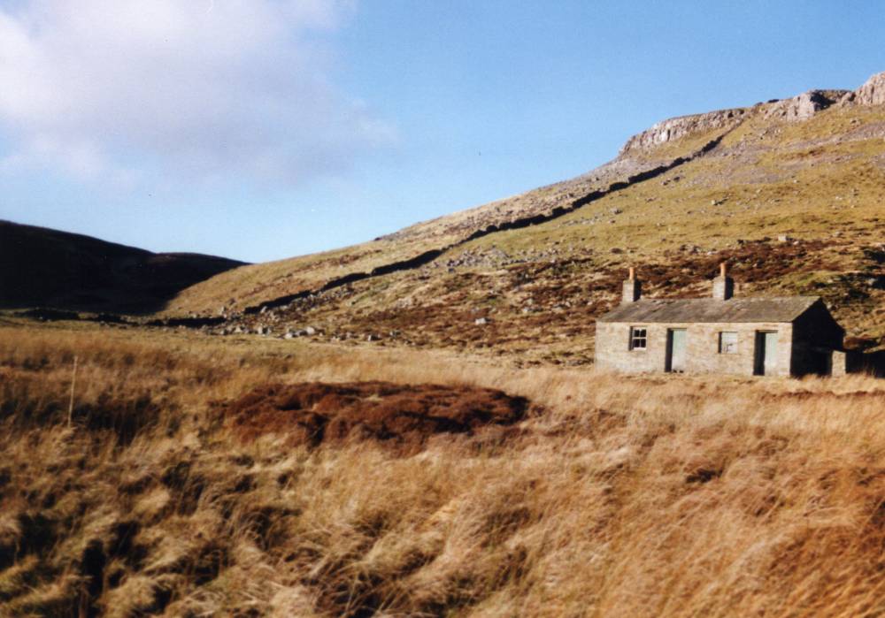
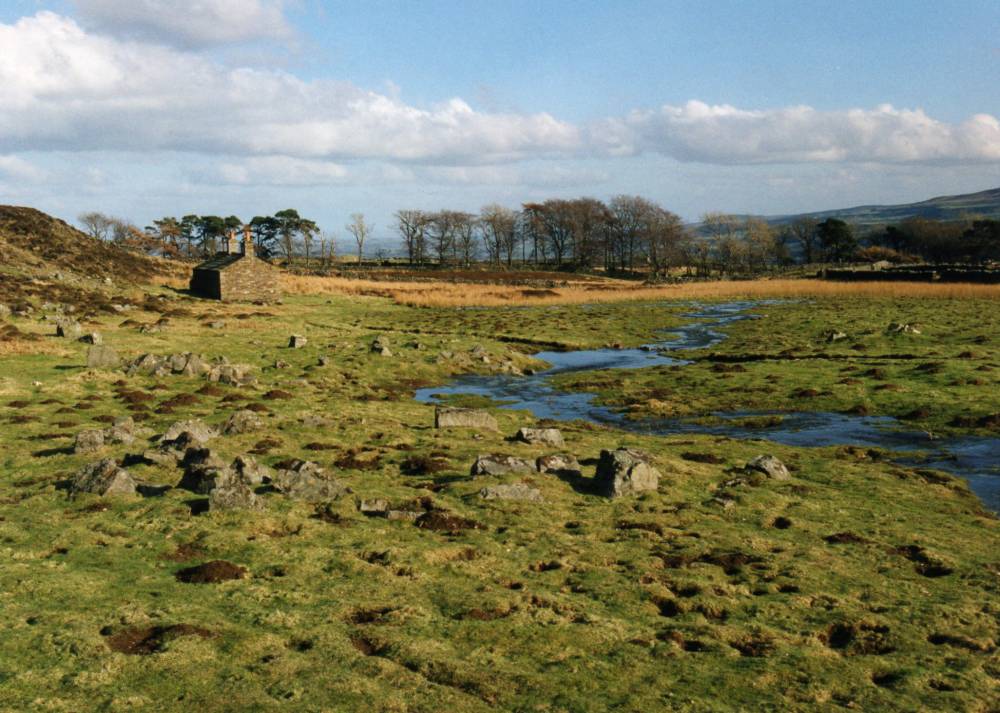
| Record Name | Carperby CP. Peat Moor Lane below Wegber. Two burnt mounds. Hut circle settlements nearby. |
| Record Description | Wegber, Peat Moor Lane. Two burnt mounds. Site 1 at SD996 910, Site 2 at 348m AOD and SD994 905, 346m AOD,Large, high. Stone founded round house foundations and enclosures in the bottom of the steep sided Gill nearby and more enclosures with two round house foundations on the narrow terrace directly above these burnt mounds. below Wegber Scar.
Other burnt mounds recorded seperately on Carperby Moor include:
New Pasture SD994 905, 315m Large, medium. Annular bank around a level interior. Entrance to North.
Low Gate Pasture SE 010 908 255m Small, low. Found by Robin Minnitt.
|
| Dimensions | Large, high* |
| Geographical area | |
| Species | |
| Scientific Name | |
| Common / Notable Species | |
| Tree and / or Stem Girth | |
| Tree: Position / Form / Status | |
| Tree Site ID | 0 |
| Associated Site SWAAG ID | 0 |
| Additional Notes | *Indicative Dimensions:
Size: Small <6m, Medium 6m-9m, Large 10m-15m, Extra large >15m.
Height: Low <0.5m, Average 0.5-1.0m, High >1.0m.
For the context of these two burnt mounds below Wegber Scar, see Laurie T.C.,2003.'Researching the Prehistory of Wensleydale Swaledale and Teesdale'. in: T.G. Manby, Patrick Ottaway and Stephen Moorhouse Eds.The Archaeology of Yorkshire. CBA Occasional Paper No 3.pp223-253. |
| Image 1 ID | 223 Click image to enlarge |
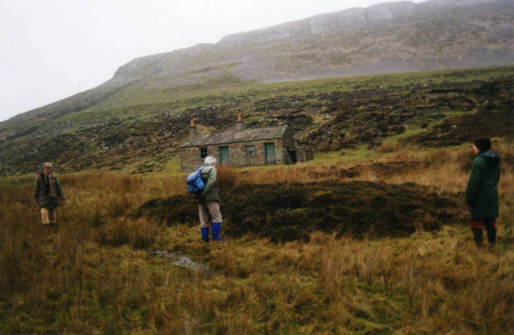
| Image 1 Description | Peat Moor Lane Burnt Mound Site 1. The second burnt mound, some 70m to the southof Site 1 is less prominant and heather covered |  |
| Image 2 ID | 224 Click image to enlarge |
| Image 2 Description | Location of Prehistoric Sites on Carperby Moor, Laurie 2003, Figure 61. | 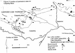 |
| Image 3 ID | 225 Click image to enlarge |
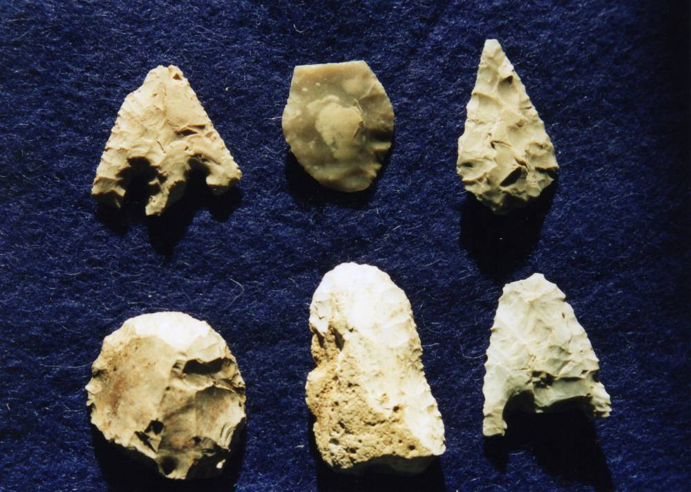
| Image 3 Description | Selected lithic finds on Carperby Moor. | 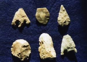 |
| Image 4 ID | 226 Click image to enlarge |
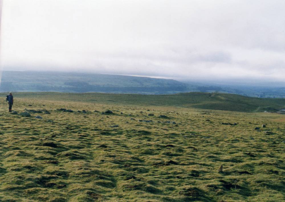
| Image 4 Description | Carperby Moor. Embanked stone circle with central cairn. Oxclose. |  |
| Image 5 ID | 1786 Click image to enlarge |
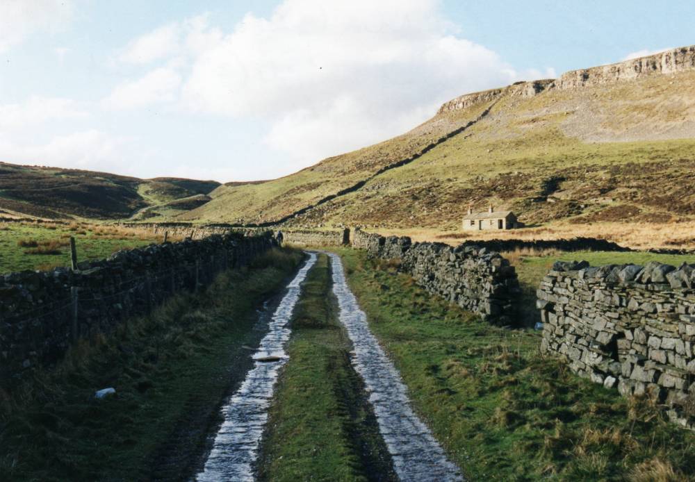
| Image 5 Description | Peat Moor Lane and Wegber. |  |
| Image 6 ID | 1787 Click image to enlarge |
| Image 6 Description | Peat Moor Lane and Wegber. | 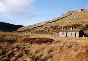 |
| Image 7 ID | 1788 Click image to enlarge |
| Image 7 Description | Hut circle settlement an enclosures on the upper terraces of Wegber and close to the stream below. | 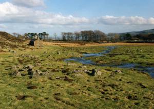 |