|
| *****SWAAG_ID***** | 269 |
| Date Entered | 06/08/2011 |
| Updated on | 12/11/2011 |
| Recorded by | Tim Laurie |
| Category | Tree Site Record |
| Record Type | Botanical HER |
| SWAAG Site Name | |
| Site Type | |
| Site Name | |
| Site Description | |
| Site Access | Public Access Land |
| Record Date | 27/05/2011 |
| Location | East Stonesdale. Small Black Scar upstream of Pry Hill Wood and Falls. |
| Civil Parish | Muker |
| Brit. National Grid | NY 89742 01686 |
| Altitude | 352m |
| Geology | Mudstones below the Main Limestone. |
| Record Name | MUK132 East Stonedale. Juniper on Black Scar. |
| Record Description | Low cliff formed by the undercutting of mudstones by East Stonesdale Beck. This low cliff supports stunted Birch, Hazel, Rowan and Sallows in addition
to the solitary Juniper. |
| Dimensions | See photographs. |
| Geographical area | Upper Swaledale |
| Species | |
| Scientific Name | |
| Common / Notable Species | |
| Tree and / or Stem Girth | |
| Tree: Position / Form / Status | |
| Tree Site ID | 0 |
| Associated Site SWAAG ID | 0 |
| Additional Notes | The presence of hazel and butterwort on the mudstone cliff may indicate local ground water enrichment. |
| Image 1 ID | 949 Click image to enlarge |
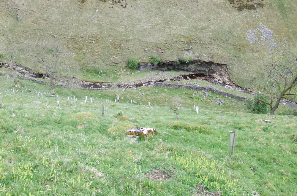
| Image 1 Description | East Stonesdale. The Black Scar with Juniper, Rowan and Sallows. | 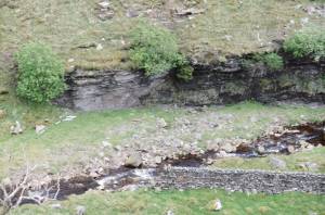 |
| Image 2 ID | 951 Click image to enlarge |
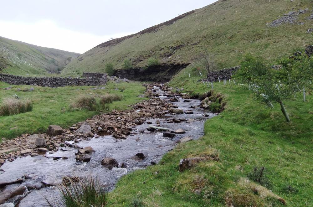
| Image 2 Description | East Stonesdale. The Black Scar viewed from below with Long Scar in the distance. | 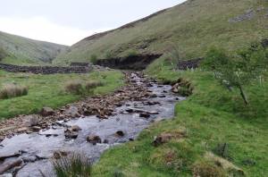 |
| Image 3 ID | 950 Click image to enlarge |
| Image 3 Description | East Stonesdale. The Black Scar undercut mudstones. | 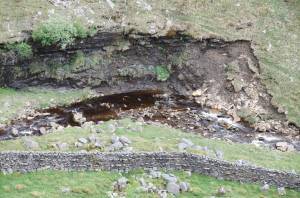 |
| Image 4 ID | 948 Click image to enlarge |
| Image 4 Description | East Stonesdale. The Black Scar viewed from west bank. |  |