|
| *****SWAAG_ID***** | 997 |
| Date Entered | 01/06/2017 |
| Updated on | 17/05/2020 |
| Recorded by | Tim Laurie |
| Category | Geological Record |
| Record Type | Geomorphology |
| Site Access | Public Access Land |
| Record Date | 31/05/2017 |
| Location | The River Balder upstream of Balderhead Reservoir |
| Civil Parish | Cotherstone |
| Brit. National Grid | NY 899 181 |
| Altitude | 335m |
| Geology | Small ravine cut by upper reaches of Balder Beck through Namurian shales and glacial till. |
| Record Name | Shap and other erratic boulders on the upper reaches of the River Balder |
| Record Description | A recent walk on the banks of the River Balder upstream of Balderhead Reservoir identified at least four Shap granite erratic boulders together with a number of other erratics of different rock types. It is of significance that Shap erratics were present upstream only as far as NY8935 1758. |
| Additional Notes | This walk is one of a series of walks in search of Shap erratic boulders on the upper reaches of the tributary streams of the R.Tees which rise on North Stainmore. These walks have the aim of identifying the line taken by the ice stream which carried Shap, other volcanic erratic and sedimentary rocks from the North and West- from Vale of Eden, the Lake District and from Galloway, across the National Divide north of the Stainmore Gap, to the South and East. |
| Image 1 ID | 7358 Click image to enlarge |
| Image 1 Description | Balderhead Reservoir. Erratic boulder of unid rock type | 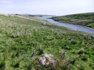 |
| Image 2 ID | 7359 Click image to enlarge |
| Image 2 Description | River Balder upstream of the Reservoirs. Shap boulder at NY8990918112 | 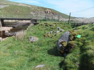 |
| Image 3 ID | 7360 Click image to enlarge |
| Image 3 Description | Detail of last. | 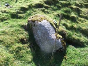 |
| Image 4 ID | 7361 Click image to enlarge |
| Image 4 Description | View from last upstream | 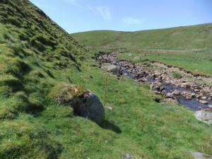 |
| Image 5 ID | 7362 Click image to enlarge |
| Image 5 Description | R. Balder. Shap erratic No 2 at NY8986818100 | 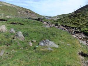 |
| Image 6 ID | 7364 Click image to enlarge |
| Image 6 Description | R. Balder. Shap erratic No 2 at NY8986818100 | 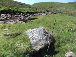 |
| Image 7 ID | 7366 Click image to enlarge |
| Image 7 Description | Borrowdale volcanic erratic in stream | 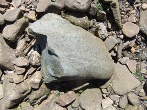 |
| Image 8 ID | 7367 Click image to enlarge |
| Image 8 Description | Very small Borrowdale volcanic cobble. | 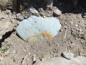 |
| Image 9 ID | 7369 Click image to enlarge |
| Image 9 Description | R.Balder view upstream. | 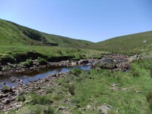 |
| Image 10 ID | 7370 Click image to enlarge |
| Image 10 Description | Shap No 3 in bank of the R. Balder. | 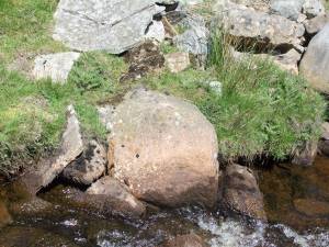 |
| Image 11 ID | 7371 Click image to enlarge |
| Image 11 Description | Very large Namurian Sandstone erratic boulder near sheepfold | 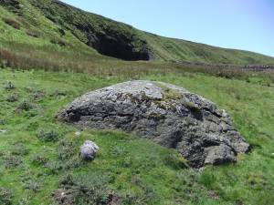 |
| Image 12 ID | 7372 Click image to enlarge |
| Image 12 Description | View upstream to shale cliff. | 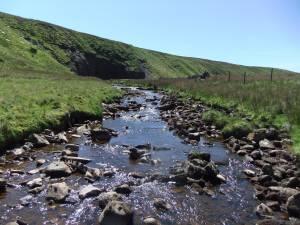 |
| Image 13 ID | 7373 Click image to enlarge |
| Image 13 Description | Many erratic boulders in the stream, most are of Namurian sandstone and Carboniferous limestone | 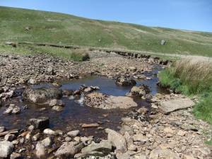 |
| Image 14 ID | 7374 Click image to enlarge |
| Image 14 Description | Shap Boulder No 4 midstream | 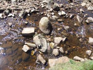 |
| Image 15 ID | 7375 Click image to enlarge |
| Image 15 Description | Distant view to Shacklesborough across Balderhead Reservoir. | 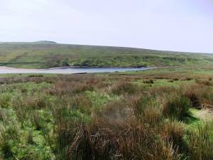 |


