|
| *****SWAAG_ID***** | 85 |
| Date Entered | 12/01/2011 |
| Updated on | 24/12/2011 |
| Recorded by | Tim Laurie |
| Category | Burnt Mound |
| Record Type | Archaeology |
| Site Access | Public Access Land |
| Location | Barningham. The Low Moor. On eastern bank of small stream which flows northward from Osmonds Gill. |
| Civil Parish | Barningham |
| Brit. National Grid | NZ 056 083 |
| Altitude | 355m |
| Record Name | Barningham. The Low Moor. Two adjacent burnt mounds on eastern bank of small stream which flows northward |
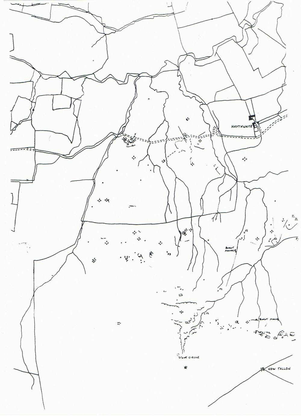
| Record Description | Field boundary, circular enclosure and rock art sites nearby. All sites on Barningham Moor now scheduled following survey by Tom Gledhill and Ros Nichol, see survey attached. |
| Dimensions | Double site 15m x 8m overall |
| Additional Notes | Dimensions. Size: Small <6m, Medium 6m-9m, Large 10m-15m, Extra large >15m. Height: Low <0.5m, Average 0.5-1.0m, High >1.0m. |
| Image 1 ID | 1797 Click image to enlarge |
| Image 1 Description | Barningam Low Moor. Prehistoric Sites. Surveyed by Tom Gledhill and Ros Nichol. |  |