|
| *****SWAAG_ID***** | 76 |
| Date Entered | 12/01/2011 |
| Updated on | 20/12/2011 |
| Recorded by | Tim Laurie |
| Category | Burnt Mound |
| Record Type | Archaeology |
| Site Access | Public Access Land |
| Location | Burtersett High Pasture |
| Civil Parish | Hawes |
| Brit. National Grid | SD 894 884 |
| Altitude | 400m |
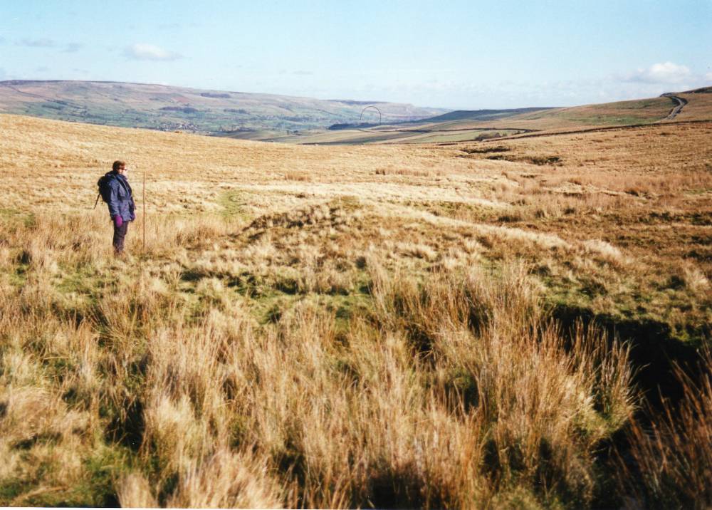
| Record Name | Burtersett High Pasture. Isolated burnt mound at spring stream below Yorburgh. |
| Record Description | Prominent burnt mound of characteristic double hump crescentic form, turf covered on bank of stream. Eroded by stream.
|
| Dimensions | Large, high |
| Additional Notes | Indicative Burnt Mound Dimensions.
Size: Small <6m, Medium 6m-9m, Large 10m-15m, Extra large >15m.
Height: Low <0.5m, Average 0.5-1.0m, High >1.0m.
|
| Image 1 ID | 228 Click image to enlarge |
| Image 1 Description | Hawes CP. Burnt mound below Yorburgh. Burterset High pasture. |  |
| Image 2 ID | 229 Click image to enlarge |
| Image 2 Description | Hawes CP. Burnt mound below Yorburgh. Burterset High pasture. | 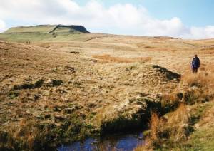 |
| Image 3 ID | 230 Click image to enlarge |
| Image 3 Description | Hawes CP. Burnt mound below Yorburgh. Burterset High pasture. | 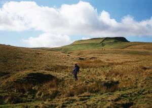 |