|
| *****SWAAG_ID***** | 73 |
| Date Entered | 12/01/2011 |
| Updated on | 20/12/2011 |
| Recorded by | Tim Laurie |
| Category | Burnt Mound |
| Record Type | Archaeology |
| Site Access | Private |
| Record Date | 01/01/2005 |
| Location | Above Wood End Lodge |
| Civil Parish | Bainbridge |
| Brit. National Grid | SD 905 874 |
| Altitude | 410m |
| Geology | Springs rising below Underset Limestone. |
| Record Name | Bainbridge. Semerwater. Wood End Lodge.Three burnt mounds at Upper Plantation Springs. |
| Record Description | Burnt mound,one of 3 Sites, Two medium, average One small, average*, at this location: All three sites at springs in enclosed pasture below Counterset Crag.
*Indicative Dimensions: Small <6m, Medium 6m-9m, Large 10m-15m, Extra large >15m. Height: Low <0.5m, Average 0.5-1.0m, High >1.0m. |
| Dimensions | Two medium, average One small, average* |
| Additional Notes | |
| Image 1 ID | 235 Click image to enlarge |
| Image 1 Description | Wood End Lodge Burnt Mounds, Site 1 with Mr Robin Minnitt. | 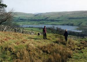 |
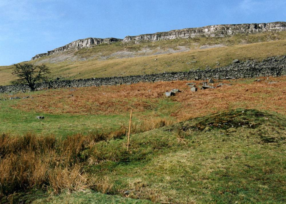
| Image 2 ID | 236 Click image to enlarge |
| Image 2 Description | Wood End Lodge Burnt Mounds, Site 1 View northward to Underset Limestone Scar on Counterset Crag. |  |
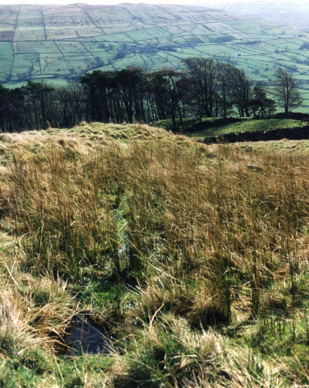
| Image 3 ID | 237 Click image to enlarge |
| Image 3 Description | Wood End Lodge Burnt Mounds, Site 2 Upper site. | 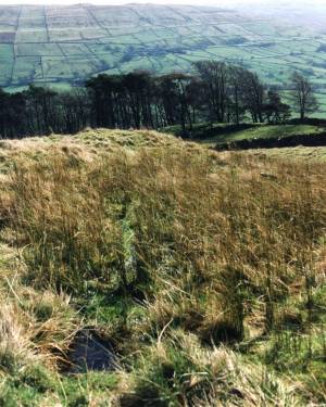 |
| Image 4 ID | 238 Click image to enlarge |
| Image 4 Description | Wood End Lodge Burnt Mounds, Site 3 | 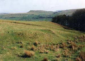 |