|
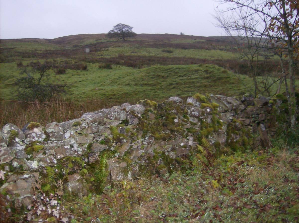
| *****SWAAG_ID***** | 71 | | Date Entered | 12/01/2011 | | Updated on | 11/12/2012 | | Recorded by | Tim Laurie | | Category | Burnt Mound | | Record Type | Archaeology | | Site Access | Private | | Location | High Blean Farm. On bank of stream close to and visible from the road opposite High Blean Farm. | | Civil Parish | Bainbridge | | Brit. National Grid | SD 8716 9274 | | Altitude | 300m | | Record Name | High Blean Farm. Burnt mound on west bank of stream close to and visible from the road opposite High | | Record Description | High Blean Farm. Medium sized burnt mound on bank of stream close to and visible from the road opposite High Blean Farm.
Unsurveyed.
Indicative Dimensions of Burnt mounds.
Size: Small <6m, Medium 6m-9m, Large 10m-15m, Extra large >15m.
Height: Low <0.5m, Average 0.5-1.0m, High >1.0m.
| | Dimensions | Medium, high | | Additional Notes | Photographed from the road. | | Image 1 ID | 3860 Click image to enlarge | | Image 1 Description | The High Blean Burnt Mound, photographed from the road. |  |
 |
|