Close

This site uses cookies. No personal data is stored. You can read how we use them in our cookies policy. Continuing on this site accepts their use. Thankyou.

Viewing swaag.org website implies consent to set cookies on your computer. Full details Swaledale and Arkengarthdale Archaeology Group
Registered Charitable Incorporated Organisation Number 1155775
SWAAG Honorary President:
Tim Laurie F,S,A,

Another Search

Scroll down the record
 *****SWAAG_ID***** 607
 Date Entered 17/09/2012
 Updated on 17/09/2012
 Recorded by Tim Laurie
 Category Vernacular Record
 Record Type General HER
 Site Access Public Access Land
 Location Birkdale Common
 Civil Parish Muker
 Brit. National Grid NY 8220 0248
 Altitude 450m
 Geology Stream cut Namurian sandstones and shales.
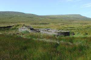
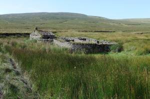
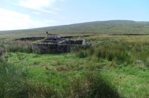
 Record Name Black Scar House. Sheep fold and bield at Uldale Foot..
 Record Description Perhaps the best preserved of all stone built sheepfold bields in the Dales and a very fine advertisement for Swaledale as it is either the first (or last) sign of human habitation to be seen on the B6270 road from (or to) Nateby and Kirby Stephen into (or from) Upper Swaledale.
 Dimensions See photographs
 Image 1 ID 3322         Click image to enlarge
 Image 1 Description Black Scar House from the B6270 road
 Image 2 ID 3323         Click image to enlarge
 Image 2 Description 
 Image 3 ID 3324         Click image to enlarge
 Image 3 Description 
 
Another Search