|
| *****SWAAG_ID***** | 511 |
| Date Entered | 03/05/2012 |
| Updated on | 07/05/2012 |
| Recorded by | Tim Laurie |
| Category | Standing Stones / Circles |
| Record Type | Northern Britain |
| Site Access | Public Access Land |
| Record Date | 29/04/2012 |
| Location | Penrith. Eamont Bridge. Mayburgh Henge. |
| Civil Parish | Not known |
| Brit. National Grid | NY 5192 2843 |
| Altitude | 130m |
| Geology | Glacial drift 110m south of the River Eamont. |
| Record Name | SWAAG in Eden Part Three. ThePenrith Henges: Mayburgh and Round Table Henges. |
| Record Description | Our visit to the very impressive Mayburgh Henge on a fine clear April Day was a surprising delight to most SWAAG Members who had frequently raced past Eamont Bridge on their way to the Lake District blissfully unaware of the existence of this monumental earthwork, the 'Avebury of the North'.
The dimensions of Mayburgh Henge (extracted from the RCHME Survey,Topping 1992) are worth stating:
'Mayburgh is almost perfectly circular on plan with a level interior measuring some 90m from north to south and 87.5m transversely. The single entrance faces eastward. The surrounding bank , which is composed almost entirely of water rounded cobbles from the nearby River Eamont varies in scale from a minimum of 37.4m wide and 3.8m high on the northern perimeter to a maximum of 45m wide and 7.2m high externally at the entrance'.
SWAAG Members were also impressed by the surviving standing stone within the henge, see photos. This stone is the survor of an original quadrilateral setting of four similar stones, and two further aligned stones at each side of the entrance. This stone setting was originally described by Sir William Dugdale in 1664 whose account and sketches were later copied by John Aubrey in his Monumenta Brittanica (See also the reference to Topping 1992 below).
A full description of all the the two well preserved henge monuments at Eamont Bridge (Mayburgh and Round Table Henges) and of the slight earthwork known as Little Table is available, see:
Peter Topping, 1998. The Penrith Henges: A Survey by the Royal Coomission for the Historical Monuments of England. Proceedings of the Prehistoric Society 58, pp249-264. |
| Dimensions | See above |
| Additional Notes | The Round Table Henge located on the busy A6 Road at the centre of Eamont Bridge was not included on the SWAAG Itinery but a couple of photos were taken and are included here. |
| Image 1 ID | 2775 Click image to enlarge |
| Image 1 Description | SWAAG Members at the Standing Stone within Mayburgh Henge. | 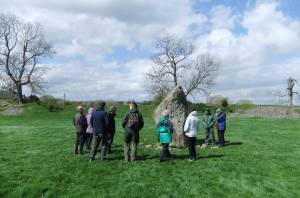 |
| Image 2 ID | 2774 Click image to enlarge |
| Image 2 Description | SWAAG Members at Mayburgh Henge | 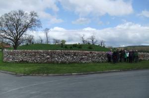 |
| Image 3 ID | 2772 Click image to enlarge |
| Image 3 Description | Mayburgh viewed from the east. | 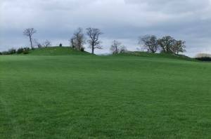 |
| Image 4 ID | 2773 Click image to enlarge |
| Image 4 Description | Mayburgh viewed from the east. |  |
| Image 5 ID | 2776 Click image to enlarge |
| Image 5 Description | | 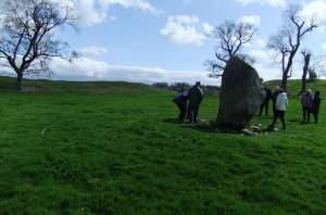 |
| Image 6 ID | 2778 Click image to enlarge |
| Image 6 Description | View though the entrance. | 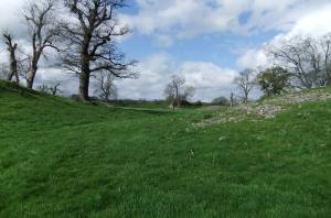 |
| Image 7 ID | 2780 Click image to enlarge |
| Image 7 Description | Meadow saxifrage (S. granulata) on the bank. | 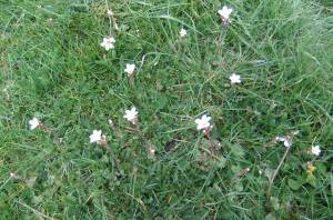 |
| Image 8 ID | 2781 Click image to enlarge |
| Image 8 Description | The Round Table Henge | 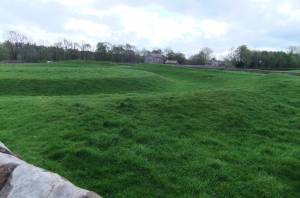 |
| Image 9 ID | 2783 Click image to enlarge |
| Image 9 Description | The Round Table Henge |  |


