|
| *****SWAAG_ID***** | 50 |
| Date Entered | 11/01/2011 |
| Updated on | 11/01/2011 |
| Recorded by | Stephen Eastmead (admin) |
| Category | Mining Related |
| Record Type | Mining |
| Site Access | Public Access Land |
| Record Date | 19/05/2008 |
| Location | Gunnerside Gill |
| Civil Parish | Melbecks |
| Brit. National Grid | NY 940 017 |
| Record Name | Bunton and Other Levels - Record 1 of 2 |
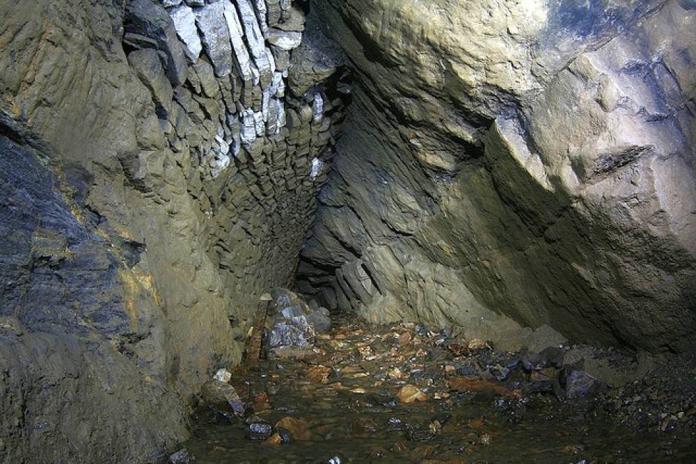
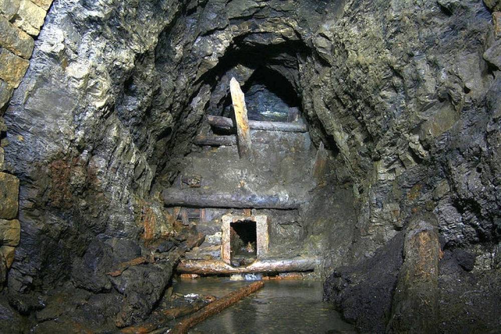
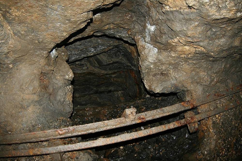
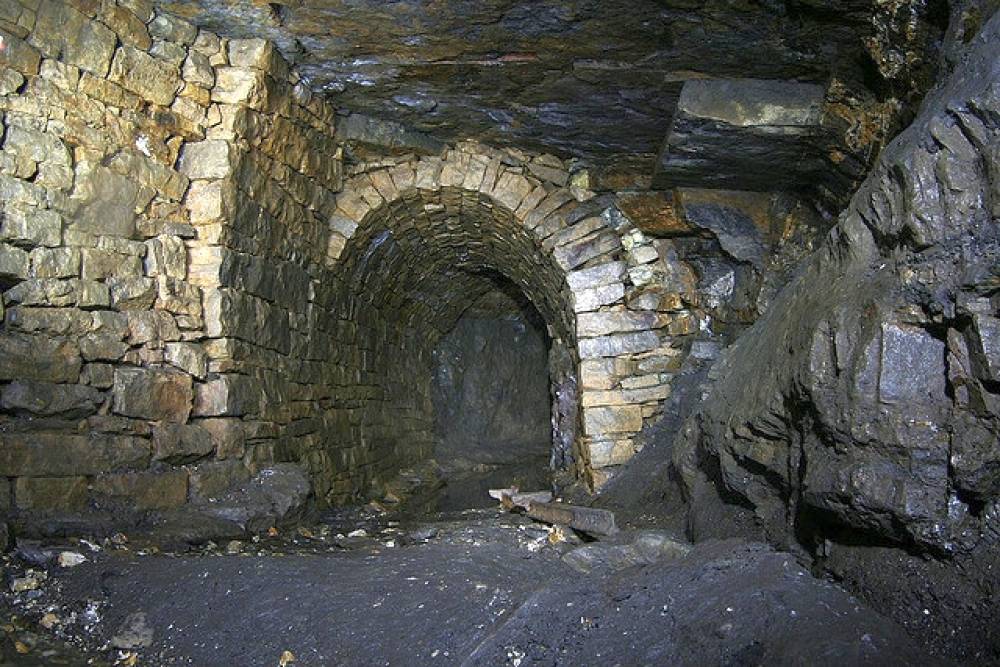
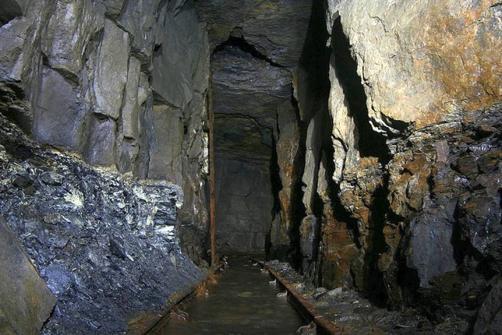
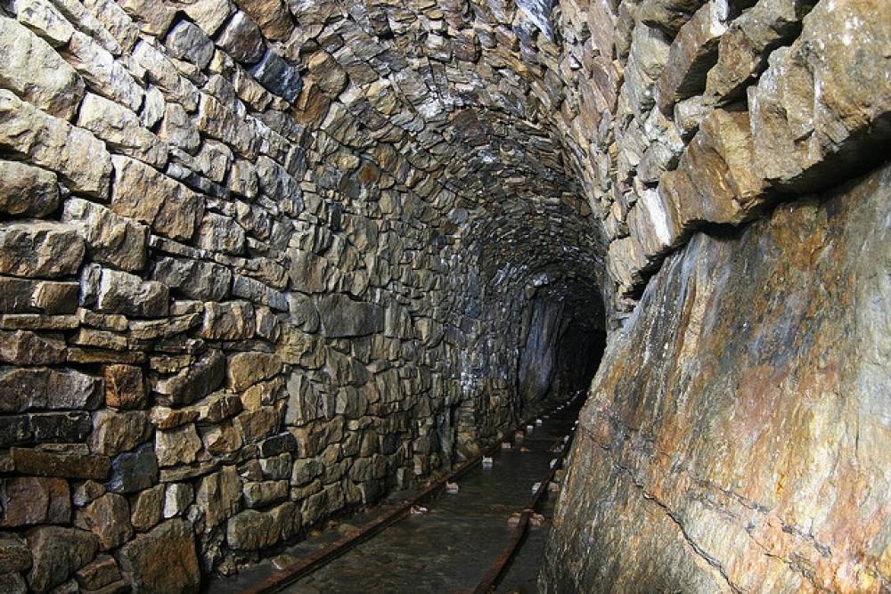
| Record Description | Copyright all images: 2010 Chris Twigg - Images taken 19/05/2008
Bunton Level
See also Record ID number 51 |
| Additional Notes | 20 images split over 2 records |
| Image 1 ID | 89 Click image to enlarge |
| Image 1 Description | Bunton Level | 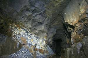 |
| Image 2 ID | 90 Click image to enlarge |
| Image 2 Description | Bunton Level | 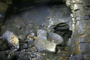 |
| Image 3 ID | 91 Click image to enlarge |
| Image 3 Description | Bunton Level | 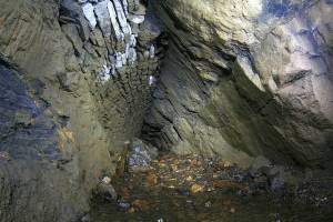 |
| Image 4 ID | 92 Click image to enlarge |
| Image 4 Description | Bunton Level | 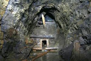 |
| Image 5 ID | 93 Click image to enlarge |
| Image 5 Description | Bunton Level | 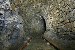 |
| Image 6 ID | 94 Click image to enlarge |
| Image 6 Description | Bunton Level | 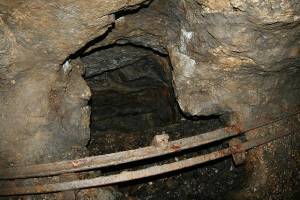 |
| Image 7 ID | 95 Click image to enlarge |
| Image 7 Description | Bunton Level | 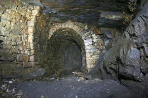 |
| Image 8 ID | 96 Click image to enlarge |
| Image 8 Description | Bunton Level | 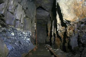 |
| Image 9 ID | 97 Click image to enlarge |
| Image 9 Description | Bunton Level | 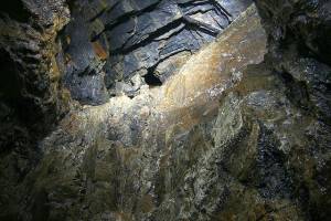 |
| Image 10 ID | 98 Click image to enlarge |
| Image 10 Description | Bunton Level |  |