|
| *****SWAAG_ID***** | 452 |
| Date Entered | 05/02/2012 |
| Updated on | 05/02/2012 |
| Recorded by | Tim Laurie |
| Category | Geographical Record |
| Record Type | General HER |
| Site Access | Public Footpath |
| Record Date | 03/01/2012 |
| Location | Melbecks. Winter Ings |
| Civil Parish | Melbecks |
| Brit. National Grid | SD 94 99 |
| Altitude | 400m to 450m |
| Geology | Colluvial soils over shales below Underset Limestone |
| Record Name | Winter Ings. A ruined Farmer-Miner Landscape in winter. |
| Record Description | Photographed on a very cold winter's day day on 03 February 2012, one wonders how any one could feed a cow here let alone a family. But indeed several families lived here, as farmers and miners they would have made best use of their small holdings. For links to the The 1841 census, see: http://www.gunnerside.info/ |
| Additional Notes | Close examination of two photographs taken under snow reveals the presence of further rectangular buildings in the pastures beween the ruined cottage and the distant barn. |
| Image 1 ID | 2234 Click image to enlarge |
| Image 1 Description | Winter Ings. A Farmer-Miner Landscape in winter | 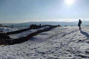 |
| Image 2 ID | 2237 Click image to enlarge |
| Image 2 Description | Stony ground. Ric deep in thought. | 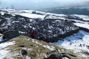 |
| Image 3 ID | 2235 Click image to enlarge |
| Image 3 Description | The front of this 17C cottage faces south, no table for tea here today. | 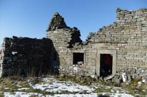 |
| Image 4 ID | 2236 Click image to enlarge |
| Image 4 Description | Curved gable end characteristic of a cruck constructed roof and ling thatch. | 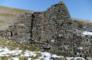 |
| Image 5 ID | 2238 Click image to enlarge |
| Image 5 Description | Winterings | 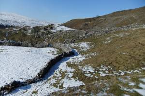 |
| Image 6 ID | 2239 Click image to enlarge |
| Image 6 Description | Winterings, careful examinationreveals the foundations of earlier recangular buildings in the pasture between the cottage and distant barn. | 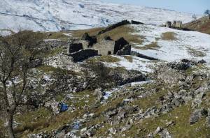 |
| Image 7 ID | 2240 Click image to enlarge |
| Image 7 Description | As last | 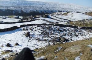 |
| Image 8 ID | 2241 Click image to enlarge |
| Image 8 Description | Solitary ash tree. Sole survivor of previous woodland . | 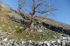 |


