|
| *****SWAAG_ID***** | 439 |
| Date Entered | 26/01/2012 |
| Updated on | 31/01/2012 |
| Recorded by | Tim Laurie |
| Category | Ring Cairns |
| Record Type | Archaeology |
| SWAAG Site | Preston Moor |
| Site Access | Public Footpath |
| Record Date | 06/08/2005 |
| Location | Preston Scar. Scarth Nick. |
| Civil Parish | Not known |
| Brit. National Grid | Hidden |
| Altitude | 320m |
| Geology | Main Limestone. Remnant of quarried Scar. |
| Record Name | Ring Cairn at Scarth Nick. |
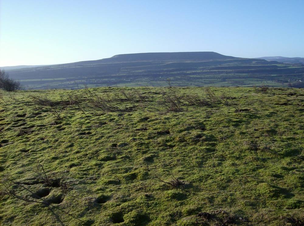
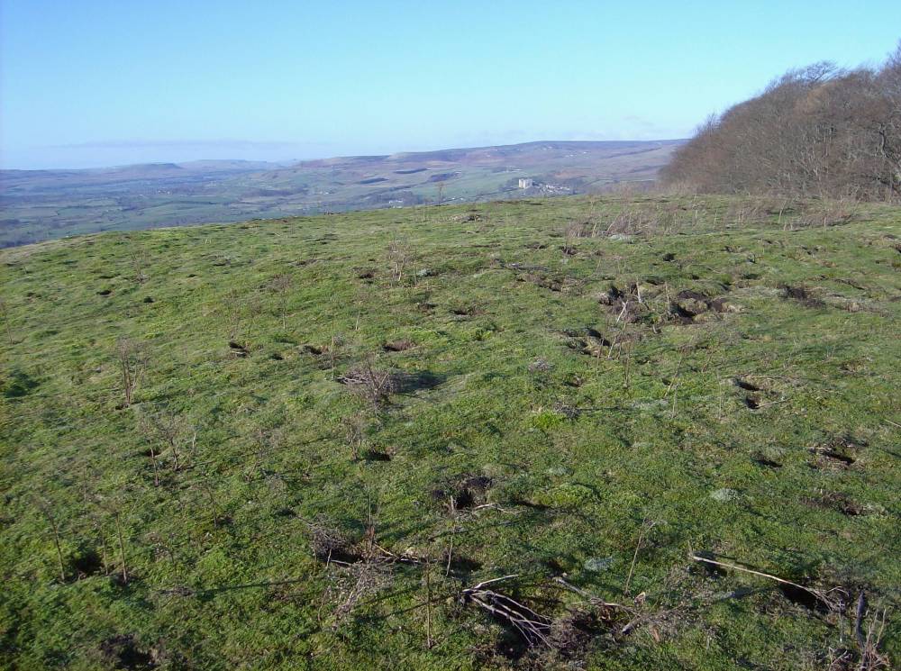
| Record Description | Ring cairn some 18m diameter overall, located at top edge of Limestone cliff. Wide views to south and west. Field banks also a remnant of a field system nearby.
This is a classic example of a ring cairn, consisting of a 3m wide (approx) stone dump circular bank enclosing a clear area, and is undisturbed except for a shallow pit recently excavated at the centre.
Unsurveyed. |
| Additional Notes | This Ring Cairn or Enclosed Cremation Cemetary could be regarded as a type site for the rather numerous ring cairns in Wensleydale and should be respected as one of the very few unexcavated and undisturbed example of a very significant class of Bronze Age Funerary Monument. |
| Image 1 ID | 2152 Click image to enlarge |
| Image 1 Description | The ring cairn, view southward to Penhill. | 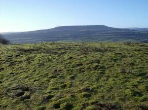 |
| Image 2 ID | 2153 Click image to enlarge |
| Image 2 Description | The ring cairn | 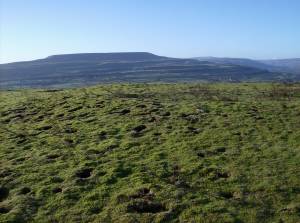 |
| Image 3 ID | 2154 Click image to enlarge |
| Image 3 Description | The ring cairn | 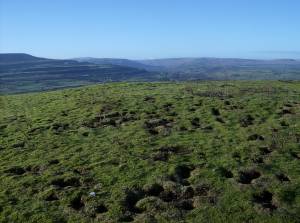 |
| Image 4 ID | 2155 Click image to enlarge |
| Image 4 Description | The ring cairn, view westward. | 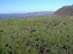 |