|
| *****SWAAG_ID***** | 377 |
| Date Entered | 03/12/2011 |
| Updated on | 03/12/2011 |
| Recorded by | Tim Laurie |
| Category | Geological Record |
| Record Type | Geomorphology |
| Site Access | Public Access Land |
| Record Date | 17/06/2011 |
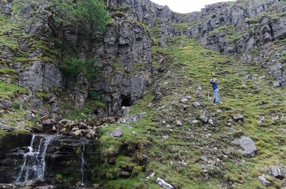
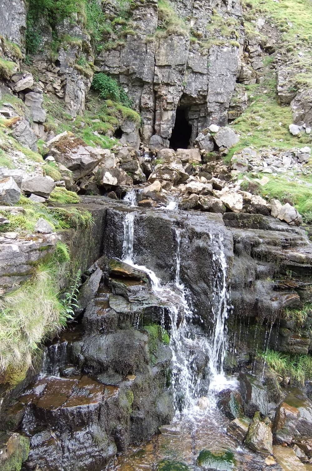
| Location | Lover Gill, Upper Ravine |
| Civil Parish | Muker |
| Brit. National Grid | SD 88085 96137 |
| Altitude | 488m |
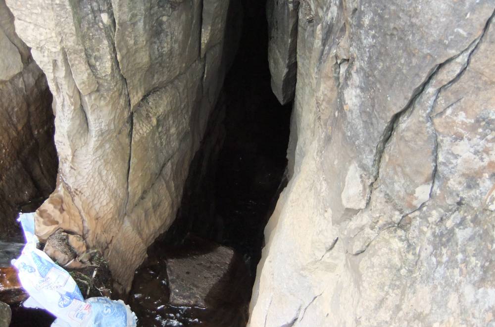
| Geology | Cave of debouchment at base of the Main Limestone |
| Record Name | Muker Common. Lover Gill, Upper Ravine Cave. |
| Record Description | This small cave is one of several similar small caves within the catchment of the Swale which are not well known and not usually shown on the OS Maps.
|
| Dimensions | See photgraphs |
| Geographical area | Upper Swaledale |
| Species | Rowan and bird cherry. |
| Common / Notable Species | Reduced tree species composition above lead mine. Lover Gill. |
| Image 1 ID | 1534 Click image to enlarge |
| Image 1 Description | Lover Gill Cave |  |
| Image 2 ID | 1532 Click image to enlarge |
| Image 2 Description | Lover Gill, Botanical recording with LR | 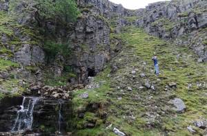 |
| Image 3 ID | 1533 Click image to enlarge |
| Image 3 Description | Lover Gill | 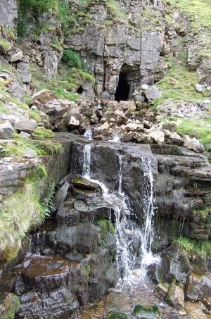 |