|
| *****SWAAG_ID***** | 337 |
| Date Entered | 18/11/2011 |
| Updated on | 18/11/2011 |
| Recorded by | Tim Laurie |
| Category | Mining Related |
| Record Type | Mining |
| Site Access | Public Access Land |
| Record Date | 17/11/2011 |
| Location | Arn Gill |
| Civil Parish | Muker |
| Brit. National Grid | SD 91044 99269 |
| Altitude | 324m |
| Geology | Talus Slope. |
| Record Name | Elling Hearth or Chopwood Kiln |
| Record Description | One of the best preserved elling hearths or chopwood kilns yet recorded.
This surviving structure can be compared directly to the example excavated by Tom Gledhill in Ivelet Wood.
This elling hearth is of characteristic plan, with the kiln surviving as undisturbed dry stone walling to a height of a metre. A small stone walled bund is recessed into the slope adjacent and there is a level working platform in front.
A small track leads upward towards the small Mine Shop below the Adelaide Level but is highly eroded at the stream. |
| Dimensions | See Photographs. |
| Image 1 ID | 1301 Click image to enlarge |
| Image 1 Description | The chopwood kiln from the front. | 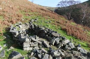 |
| Image 2 ID | 1302 Click image to enlarge |
| Image 2 Description | Small bund and the kiln with working platform. | 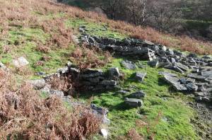 |
| Image 3 ID | 1303 Click image to enlarge |
| Image 3 Description | The kiln | 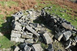 |
| Image 4 ID | 1304 Click image to enlarge |
| Image 4 Description | The working platform and kiln | 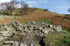 |
| Image 5 ID | 1305 Click image to enlarge |
| Image 5 Description | The working platform | 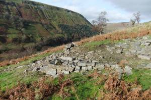 |


