|
| *****SWAAG_ID***** | 23 |
| Date Entered | 09/01/2011 |
| Updated on | 14/12/2011 |
| Recorded by | Tim Laurie |
| Category | Burnt Mound |
| Record Type | Archaeology |
| SWAAG Site | Downholme Moor |
| Site Access | Army Range |
| Location | Downholme Springs |
| Civil Parish | Downholme |
| Brit. National Grid | SE 119 980 |
| Altitude | 285m |
| Geology | Controlled (Water Supply) spring rise. Glacial drift over Richmond cherts. |
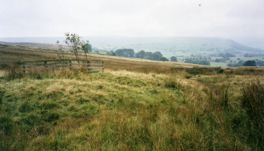
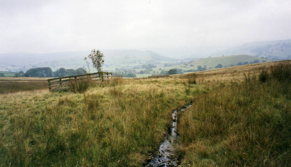
| Record Name | Downholme Moor. Burnt mound at spring rise and close to Bronze Age Cairnfield and later field system. |
| Record Description | Prominent burnt mound slightly modified during construction of water supply tank. At spring controlled for water supply.
On Army Training Area. |
| Dimensions | Medium, average |
| Additional Notes | Dimensions.
Size: Small <6m, Medium 6m-9m, Large 10m-15m, Extra large >15m.
Height: Low <0.5m, Average 0.5-1.0m, High >1.0m. |
| Image 1 ID | 1700 Click image to enlarge |
| Image 1 Description | Downholme Moor. Burnt mound at controlled spring. Water tank. |  |
| Image 2 ID | 1699 Click image to enlarge |
| Image 2 Description | |  |