|
| *****SWAAG_ID***** | 222 |
| Date Entered | 09/06/2011 |
| Updated on | 15/06/2011 |
| Recorded by | Tim Laurie |
| Category | Settlement |
| Record Type | Archaeology |
| Site Access | Private |
| Record Date | 01/01/2005 |
| Location | Clapgate |
| Civil Parish | Marske |
| Brit. National Grid | |
| Altitude | 220m |
| Geology | Drift over Underset Limestone Series. |
| Record Name | Multi period settlement complex on west side of Clapgate Gill. |
| Record Description | Unenclosed round house platform settlement associated with roman pottery
and field system defined by substantial lynchetted field banks overlain by a series of rectangular houses associated with medieval and post medieval pottery.
Further settlement below Clapgate Scar to be recorded seperately later. |
| Dimensions | These settlements extend for a distance of 2km on the lower dale sides. |
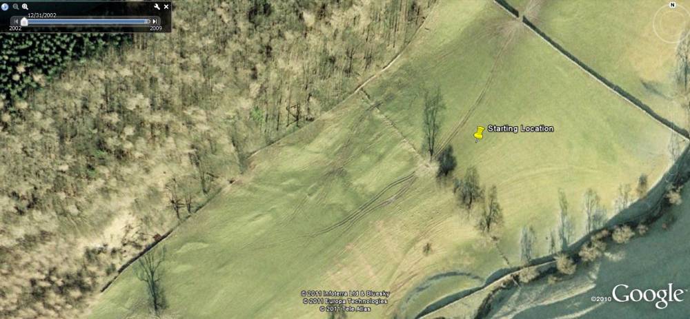
| Additional Notes | Unsurveyed. Well seen on Google Earth, Historical Imagery. |
| Image 1 ID | 769 Click image to enlarge |
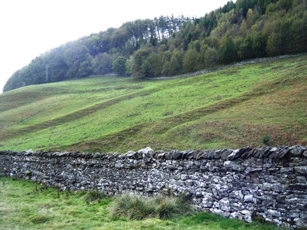
| Image 1 Description | Settlement and field system. Clapgate Gill, West Side. | 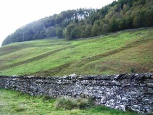 |
| Image 2 ID | 772 Click image to enlarge |
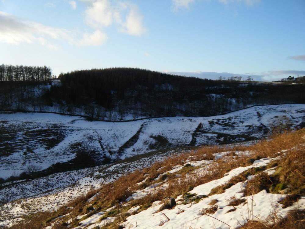
| Image 2 Description | Settlements below Clapgate Spring Plantation. | 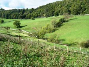 |
| Image 3 ID | 773 Click image to enlarge |
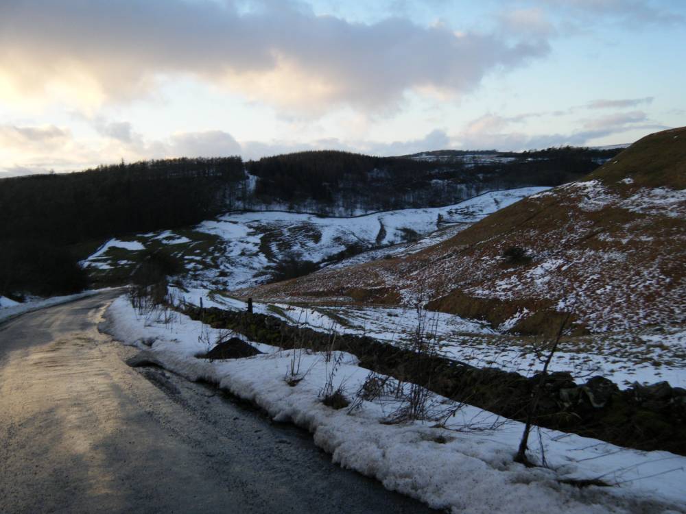
| Image 3 Description | Settlements in Clapgate seen from the road to Marske | 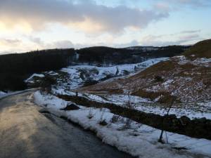 |
| Image 4 ID | 774 Click image to enlarge |
| Image 4 Description | Ancient field system and settlements in Clapgate | 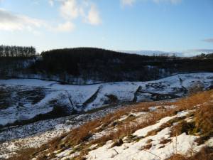 |
| Image 5 ID | 805 Click image to enlarge |
| Image 5 Description | Settlements below Clapgate Plantation. | 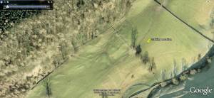 |