|
| *****SWAAG_ID***** | 191 |
| Date Entered | 17/05/2011 |
| Updated on | 17/05/2011 |
| Recorded by | Tim Laurie |
| Category | Mining Related |
| Record Type | Mining |
| Site Access | Public Access Land |
| Record Date | 16/05/2011 |
| Location | Clints Lead Mine |
| Civil Parish | Marske |
| Brit. National Grid | |
| Altitude | 293m |
| Geology | Edge of escarpment formed by The Main Limestone. |
| Record Name | Lead Bale at Clints Lead Mine. |
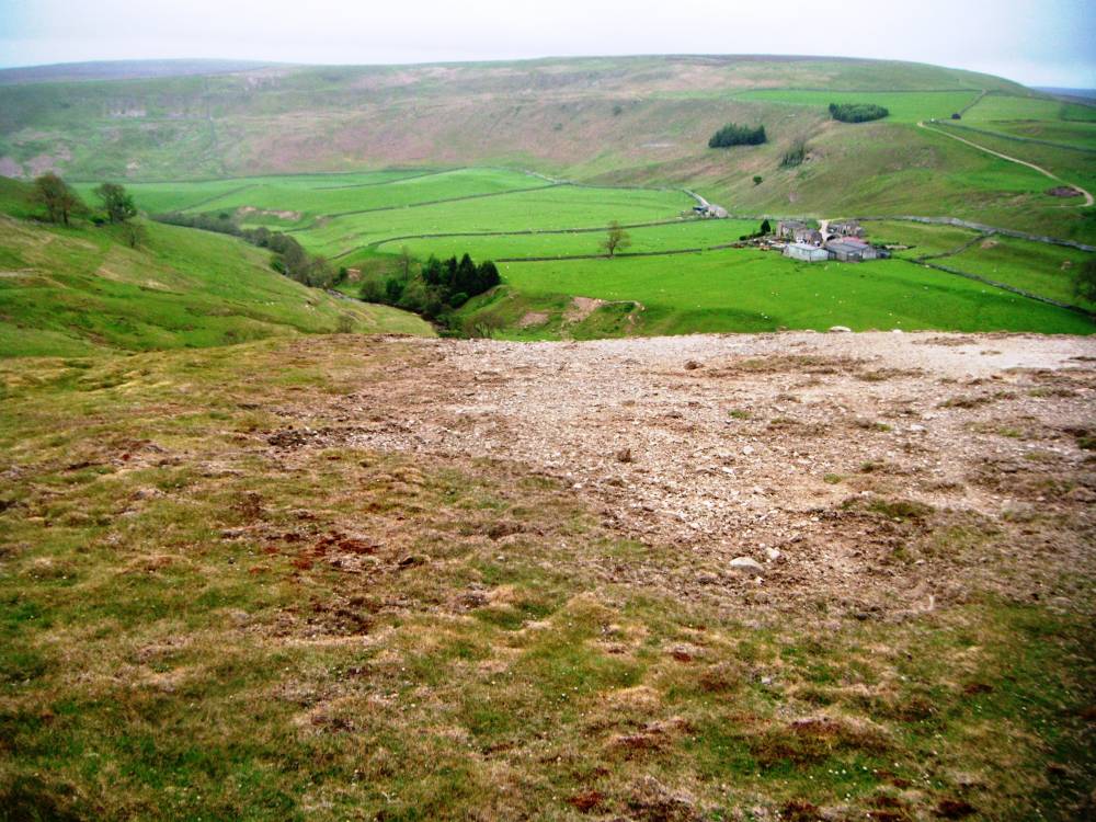
| Record Description | Small lead bale smelting site at edge of escarpment overlooking Telfit Farm evidenced by concentration of creamy white lead slag visible on bare ground across a circular area which measures 8m diameter. Partly covered by peat.
Shallow shafts nearby. |
| Dimensions | 8m Diameter. |
| Image 1 ID | 655 Click image to enlarge |
| Image 1 Description | Lead bale above Telfit Farm. | 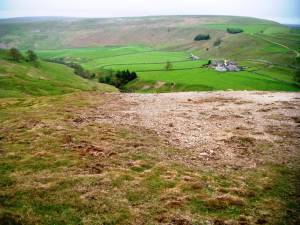 |
| Image 2 ID | 656 Click image to enlarge |
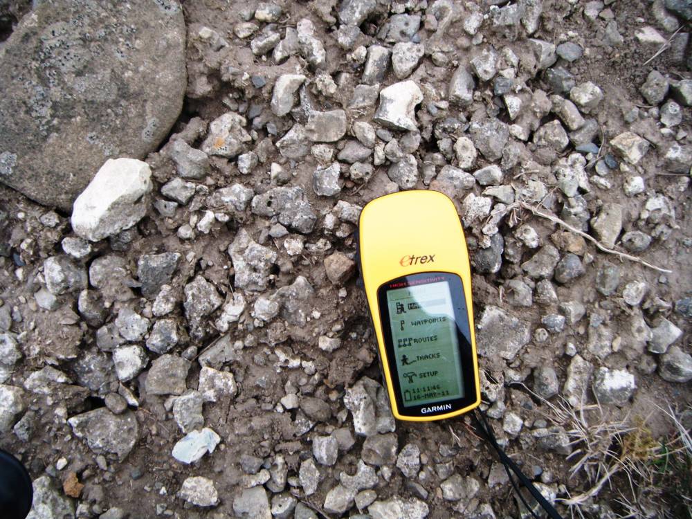
| Image 2 Description | Lead bale, detail. | 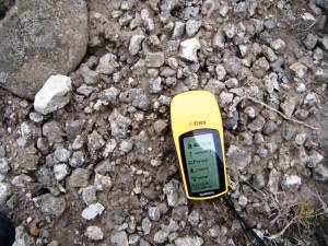 |
| Image 3 ID | 657 Click image to enlarge |
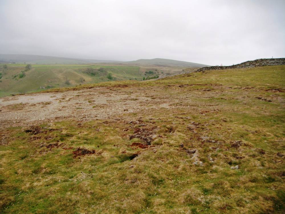
| Image 3 Description | Lead bale ,detail. | 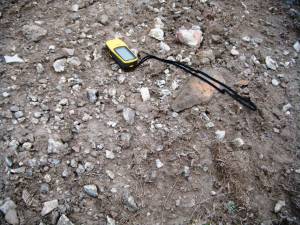 |
| Image 4 ID | 658 Click image to enlarge |
| Image 4 Description | View from lead bale towards Holgate How. Field wall is eastern boundary of Army Range. |  |