|
| *****SWAAG_ID***** | 141 |
| Date Entered | 24/02/2011 |
| Updated on | 24/02/2011 |
| Recorded by | Tim Laurie |
| Category | Mining Related |
| Record Type | Mining |
| Site Access | Public Footpath |
| Record Date | 01/01/2005 |
| Location | Wensleydale. West Burton CP. Pasture below Morpeth Wood. |
| Civil Parish | Not known |
| Brit. National Grid | |
| Altitude | 230m |
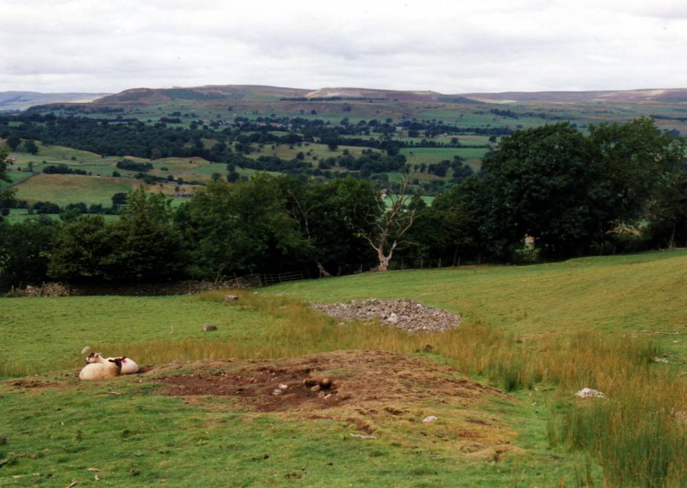
| Record Name | Lead Bale on Bronze Age Burnt Mound. |
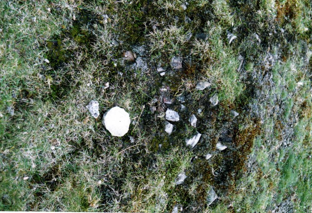
| Record Description | Lead bale smelting site located on summit of large burnt mound. Much visible slag present and also findspot of stone stopper from a medieval ceramic jug.
For details of the burnt mound, see Record No 58. |
| Additional Notes | This lead bale is approximately 50m above the footpath from Morpeth Gate to the Knights Templars Preceptory and just 1km SW of the Knights Templars Preceptory above Temple Farm. |
| Image 1 ID | 351 Click image to enlarge |
| Image 1 Description | Lead bale on summit of Bronze Age Burnt Mound. |  |
| Image 2 ID | 352 Click image to enlarge |
| Image 2 Description | Stone stopper to medieval ceramic jug and detail of burnt stone mound. |  |