|
| *****SWAAG_ID***** | 103 |
| Date Entered | 14/01/2011 |
| Updated on | 14/01/2011 |
| Recorded by | Stephen Eastmead (admin) |
| Category | Mining Related |
| Record Type | Mining |
| Site Access | Public Access Land |
| Record Date | 26/04/2009 |
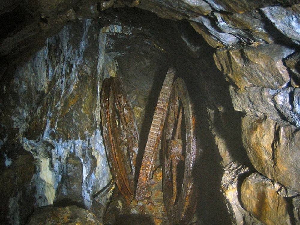
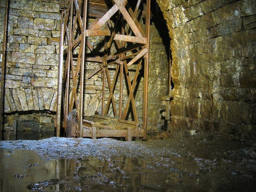
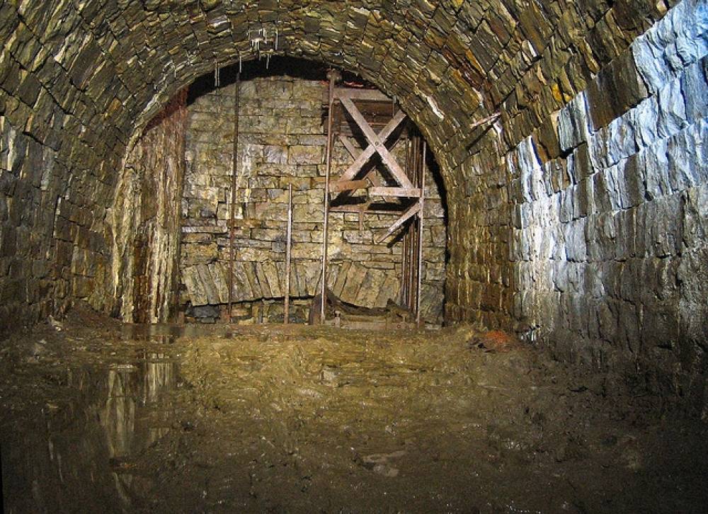
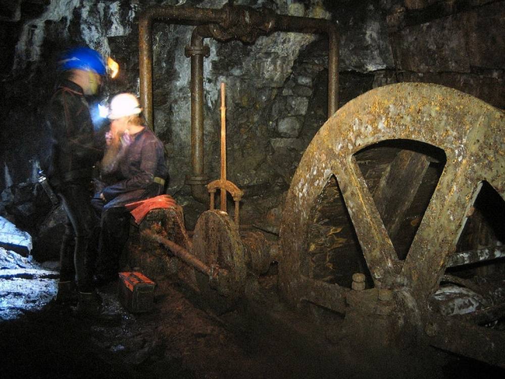
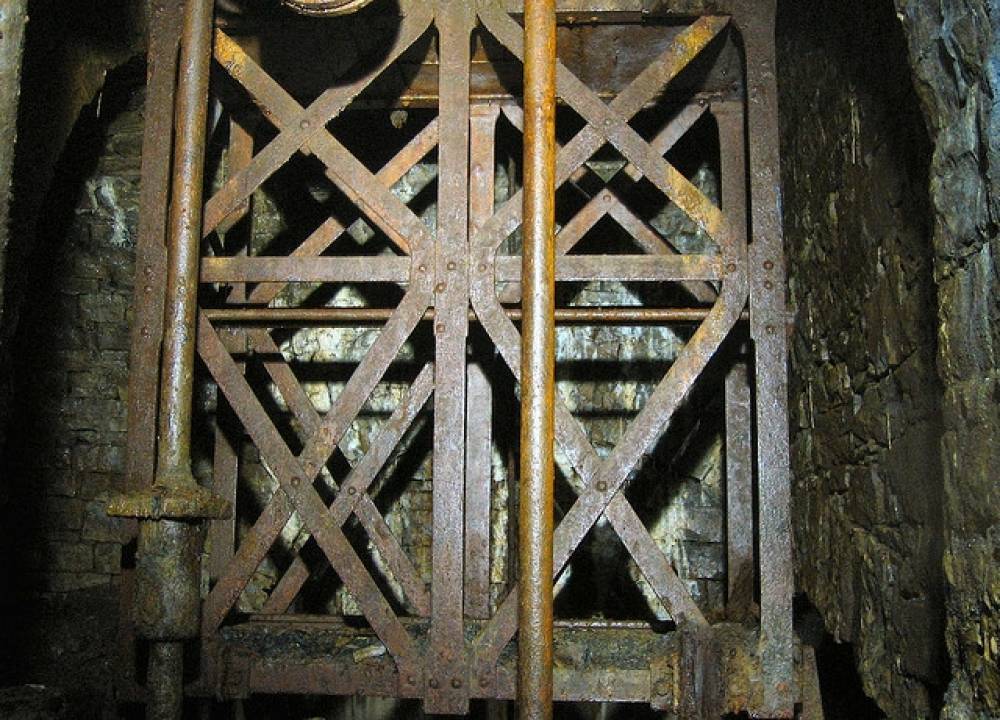
| Location | Sir Francis Level - Gunnerside Gill |
| Civil Parish | Melbecks |
| Brit. National Grid | NY 940 000 |
| Altitude | 337 |
| Record Name | Sir Francis Level - Record 1 of 2 see also 104 |
| Record Description | Copyright all images: 2010 Chris Twigg. Images taken 26-04-2009
NY 940 000 approximately |
| Image 1 ID | 123 Click image to enlarge |
| Image 1 Description | Sir Francis Level | 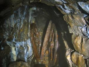 |
| Image 2 ID | 124 Click image to enlarge |
| Image 2 Description | Sir Francis Level |  |
| Image 3 ID | 125 Click image to enlarge |
| Image 3 Description | Sir Francis Level | 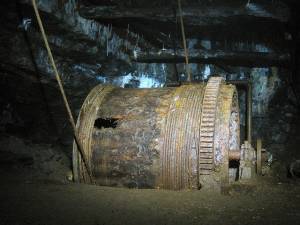 |
| Image 4 ID | 126 Click image to enlarge |
| Image 4 Description | Sir Francis Level | 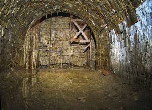 |
| Image 5 ID | 127 Click image to enlarge |
| Image 5 Description | Sir Francis Level | 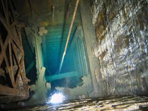 |
| Image 6 ID | 128 Click image to enlarge |
| Image 6 Description | Sir Francis Level | 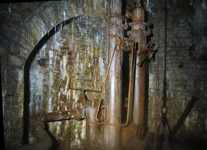 |
| Image 7 ID | 129 Click image to enlarge |
| Image 7 Description | Sir Francis Level |  |
| Image 8 ID | 130 Click image to enlarge |
| Image 8 Description | Sir Francis Level | 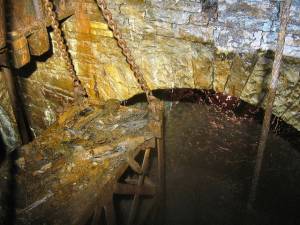 |
| Image 9 ID | 131 Click image to enlarge |
| Image 9 Description | Sir Francis Level | 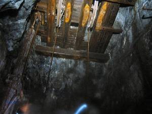 |
| Image 10 ID | 132 Click image to enlarge |
| Image 10 Description | Sir Francis Level | 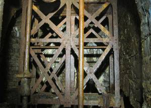 |