| Viewing swaag.org website implies consent to set cookies on your computer. Full details | Swaledale and
Arkengarthdale Archaeology Group Registered Charitable Incorporated Organisation Number 1155775 |
SWAAG Honorary President:
Tim Laurie F,S,A, |
| SWAAG News Archive | |
| News Archive | |
| Braithwaite Hall, East Witton Camp and Castle Steads | |
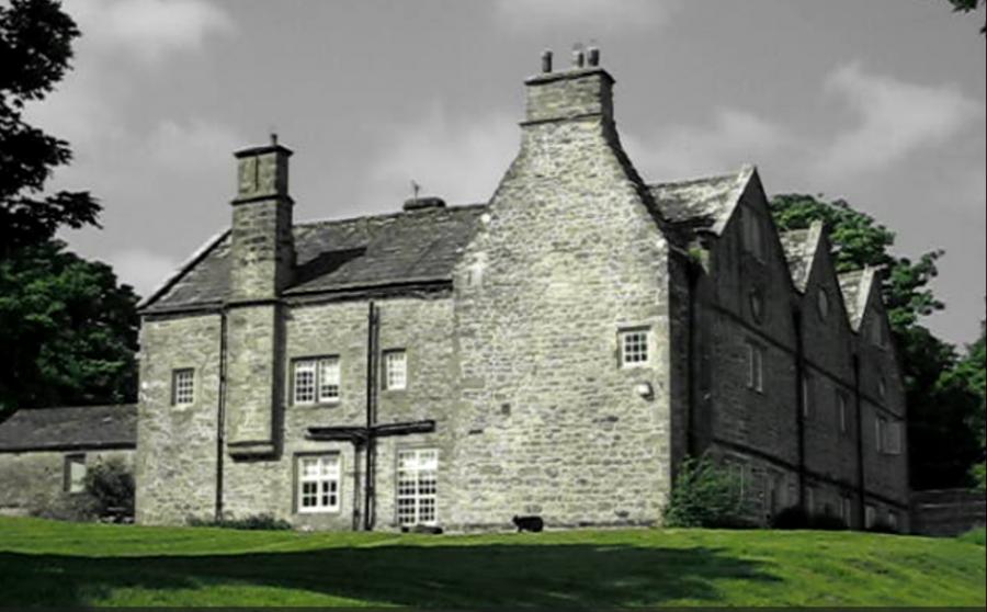
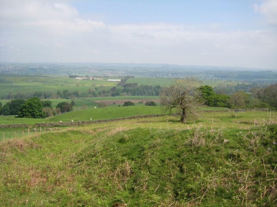
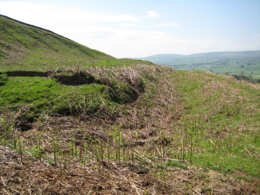
| A small group from SWAAG enjoyed a lovely walk from Braithwaite Hall encompassing East Witton Camp and Castle Steads. Braithwaite Hall is a 17th Century house, it incorporates an earlier building from the early 1600’s. The current building replaces the original structure mentioned in 1301 that was linked to Coverham and Jervaulx Abbeys. Following the Dissolution of the Monasteries the house was owned by the Crown then the City of London and later by the Wood family. Benjamin Wood was responsible for the renovations /rebuilding in 1667 when the “new” staircase was installed. To the east of the Hall is an area with Ridge and Furrow and earthworks indicating the site of a former peasant settlement. Moving up on to Braithwaite Banks you find East Witton Camp. This is a fortified “univalliate” hillfort. It is defended by a rampart and an outer ditch, except the east side and this is defended by the Red Beck Gill – a steep sided gulley. The banks are constructed with a stone core and have two entrances. The defences were extended to the north. The inner area is quite flat and may have been ploughed. It is now bracken covered. From LIDAR it does appear to have a square feature on this platform. Was this an area of occupation, a farm or more of a meeting place, a market or it has been suggested a citadel? The group then walked over the moor, a wonderful landscape. There are areas of mining here and some marshy wet areas. Birds observed included: Cuckoo, Wheatear, Kite, Greylag Geese and goslings. A female deer was spotted as we moved towards a dry valley (possible melt water channel). The landscape changes here – bilberry bushed replace bracken and heather. Lunch at an old quarry, and what appeared to be a meeting place of trackways. Passing through a “doorway” in the wall we passed down the hill side into Castle Steads. A large flat area enclosed on three side by a ditch and bank, the south side being the steep hill leading on to the moor. Is this just an animal enclosure, a farm, it does not appear to be a defensive structure. Heading back towards Braithwaite Hall, we found some evidence of a later structure and a ford crossing in the middle of a field (the ford crossing is marked on the OS map). The structure was a long building with an entrance on the north side, the structure appears to be built into the hillside. The wall has a substantial foundation. Possible hollow way / track crossing above this area. SWAAG would like to thank Vicki and Charles of Braithwaite Hall for providing parking and access to the land. Braithwaite Hall is a National Trust Property – there is a lot of data on the National Trust HER relating to this area. Other references include SWAAG database record 691 |
|
 |
 |
| Braithwaite Hall | Ditch and bank on the west side of East Witton Camp |
| Click Images to Enlarge | |
 |
|
| Castle Steads – looking west along the ditch and bank | |
| News Record: 186 Updated: 10-06-2024 13:37:57 | |