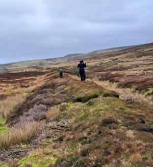
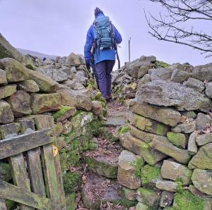
The early February weather was kind to our party of twelve on our walk around Harkerside.
We set off from Grinton passing a funerary barrow (SM 1012599) close to Swale Hall, crossed the Fremington dykes (SM 1004043,4) and discussed their attributes as defensive structures, boundary markers and enclosures. Perhaps they have been all of these things.
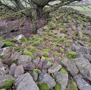
We pondered over the significance of a large mound of stones at a stile below Bleak House and some earthworks just to the west of it.
Then onwards and upwards, sheltering from the wind in the ditch of Maiden Castle (SM 1012609) to eat our lunch, share information from a 2011 geophysical survey of the place and from Will Swales research on the excavation of the large mound to the east of the “castle” by Rev Canon Greenwell who, on a summer’s day in 1867, had “a very effective staff of miners” at his disposal. However, “not a single bone or fragment of man’s work was found”.
Upwards again to another barrow, west of the castle earthworks, and then turning east towards Harker mires.
Five of us continued to the cairn field (SWAAG HER 150) and the feature marked as a hut circle on the Ordnance survey map but described by Tim Laurie as an embanked stone circle in a Bronze Age settlement landscape and listed as such as a Scheduled Monument In 2005 (SM 1012612). Nearby there are numerous cairns, stone features and a linear ditch and rampart (SM 1012617) which merges at its east end with the steep west bank to Grinton beck. We finished our walk downhill to Grinton just before wind and rain set in. |


