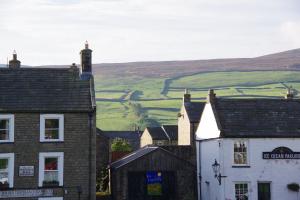
Reeth
Museum's Digital Image Archive has beeen
transfered to the Resource Centre in
Keld.
|
| Archaeological sites for investigation, by Mike Wood |
Life-long Richmondian and longstanding trustee of Richmondshire Museum, Mike Wood, led us on a fascinating canter through many archaeological sites within Swaledale. Mike has had a passion for archaeology since his father, a member of the Yorkshire Archaeological Society, took him on archaeological explorations as a child.
Mike was involved with the excavation of Cataractonium (Roman Catterick) by Sir Mortimer Wheeler and was present, aged 11, at the discovery of a Roman coffin at RAF Catterick, now Marne Barracks. Finds from this dig are now in Richmondshire Museum.
Mike then showed us examples of the many sites he has explored over the years and which he thinks still merit investigation. These included cup and ring marks on the military range at Feldom, and the remains of the Scorton Cursus that survived destruction during the construction of Scorton’s wartime airfield and the A1 bypass in the 1950s.
A question Mike posed is what was the purpose of Scots Dyke? Was it defendable and when was it constructed? Although an Anglo-Saxon spear has been found on it, was this a sign of a much older structure having been repurposed: luminescence tests on quartz found in the dyke near Gilling crossroads show a date of circa 500BC.
A reflective study of the Swaledale landscape will always raise questions and reveal insights into over 3,000 years of history. These could be a burned mound that Mike showed us on Grinton Moor, the Saxon hogs-back grave marker found near there, an Iron Age hut circle or the massive stone block remains of an unidentified structure. It was also near there that Mike found fragments of a C13-C14 chafing dish – an early form of warming dish.
Other sites that Mike has explored, and raised questions about, include: the Romano-British farmstead on the Applegarth terrace below Willance’s Leap, A possible Roman route from the Applegarth site down to the River Swale, and intriguing lines on an aerial photo that suggest a possible Roman villa south of the river by The Batts. An ancient mine entrance behind the Applegarth site suggested to Mike that this may have been an early Roman lead mine.
His involvement with excavations at St. Nicholas House raised questions about the location of the pre-Norman vill of Hindrelac. Was St Nicholas House the site, or was it at St Edmunds on Anchorage Hill, or was it at St Mary’s. There is evidence to suggest each of these locations. What is certain is that an engraved medieval brass bell, that was sadly stolen from St Nicholas House at the time of its sale by Lady Serena, was not from the late Anglo-Saxon church.
Mike then brought us up to date with a look at some magic-lantern slides from the early C20. They were proof that utility companies were as poor then at reinstating work on gas pipelines as they are today. |
|
|
|
|
| Click an image to enlarge in a new tab |
| |
|
|
|
|
| News Record: 196 Updated: 26-01-2025 18:26:53 |
|
|
| Who lived in East Yorkshire? |
Following our AGM in November, SWAAG member Ian Earnshaw gave a presentation entitled “Who Lived in Eastern Yorkshire Before, During and After the Dark Ages – Does anyone really know?”
The land covering Eastern Yorkshire is thought to have been occupied by a tribe originating from the Paris-area of France, in the Iron-Age and into the Roman Period. They were called the “Parisi” tribe.
The main facts for this include both Ptolemy’s book “Geographica” written around 150AD, which placed “…near a bay suitable for a harbour the Parisii and the town Peturia” and his separate maps. They are also placed in the same area during the Iron-Age because of the Chariot-Burials in round barrows found near Arras Farm, Market Weighton, which also appear in the Paris, France area. The tribe seem to have been quite separate from the “Brigantes” tribe who happened to occupy the rest of Northern England during this same time.
The known facts behind this theory have, over the years, raised doubts and then largely been discredited, leaving only the book “Geographica” written by Ptolemy firstly in Greek, then later copied and translated into Arabic, and then further copied and translated into Latin. Unfortunately, we do not have any of the original books available to us today, so we do not really know who Ptolemy was writing about.
The only real facts that we do know about them is that their Tribal name ends with the letters “RISI”, starts with a letter “P” and is at least 6 characters long. If you look at the tribes living in the North Sea and English Channel areas during Roman times, there is only one other alternative to the “Parisi” tribe – and they are the “Phrisii” tribe as the Romans called them, or the “Frisians” as we call them, living on the coast in Friesland in the north of the Netherlands.
As an observation, if the upright on the second letter in the name “Phrisii” is lost due to some typo such as running out of ink, poor quality paper etc. you will have the “Parisi” as now living in Friesland. Which, with the many copies of the book over the hundreds of years, must cast some doubt on who the people were that Ptolemy wrote about.
The “Phrisii” were Celtic at this time, and well known to the Romans as expert sailors, traders, cavalry/soldiers and salt producers. They were also Pirates, and you could say the original Vikings.
The “Phrisii” homeland became almost totally depopulated in the 2nd and 3rd centuries due to rising sea levels, exactly around the time when Ptolemy was writing about them as being in Eastern Yorkshire. There is further evidence of the “Phrisii” as being on the coast in the Eastern Yorkshire area well before the Angles/Saxons Mass Migration of 449AD/450AD as documented by Gildas, Bede and the Anglo-Saxon Chronicle, such as: trading links; a shared jet fashion culture; shared burial practises; River Names such as the Humber; inheritance rights; use of Frisian words; pronouncing of town names.
This would mean that we would expect the “Brigantes” tribe to be living in the whole of the northern England area during the Iron-Age. During the Roman period, the “Phrisii” would be living on the Eastern Yorkshire coast with the “Brigantes” tribe and Roman Army veterans living inland on the Wolds and Moors. Later after the mass migrations of 449AD/450AD, the area would also be populated by Angles and their Allies right up to the Viking Period.
Ian Earnshaw. |
|
|
|
|
| Click an image to enlarge in a new tab |
| |
|
|
|
|
| News Record: 195 Updated: 15-12-2024 15:59:46 |
|
|
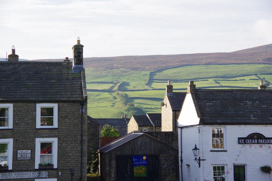
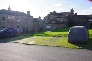
| Reeth Local History Walk – 7th September 2024 |
25 Members and guests joined Alan and Judith Mills on Saturday 7th September, to explore the local history of Reeth and its surrounding area.
Starting on Reeth green Alan discussed the development of the village and its appearance as incomplete planned village. Reeth got is Market Charter in 1695. Buildings dating from medieval, through Georgian to more modern alterations in late 19C and early 20C periods were discussed.
From the bandstand the western part of the Grinton – Fremington Dykes and the Romano- British settlement. Following along the line of Harkerside the southern dykes can be observed.
Further investigation of the green area the Porters Lodge for the Reeth Poor Law Union Workhouse was pointed out. In operation from 1840 to 1930 the workhouse housed up to 80 paupers.
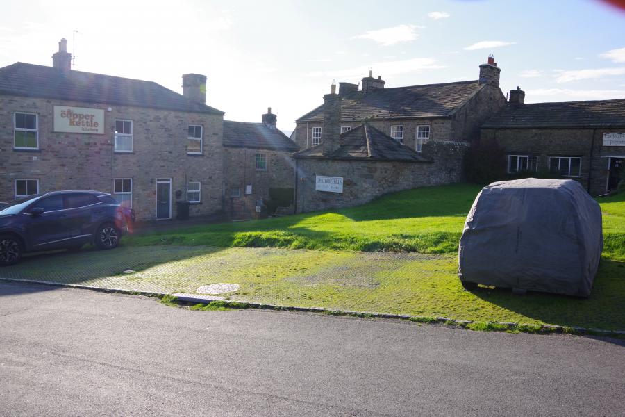
Leaving the Green we passed down towards Reeth bridge (built 1772/3) passing Stonegate (many of which were shops in earlier times). Arriving at Fremington Corn Mill it is possible to see the water wheel still in situ in the building. The first record of the mill was in 1288, the current building dates from 1751 and closed around 1900.
As we approached Draycott Hall a ditch and bank can be observed running up to High Fremington. A little further along the road to the right an eroded bank can be seen – is this part of the dyke system or not?
We then progressed towards Grinton. The bridge was constructed 1797, looking underneath you can see where the medieval bridge was widened to accommodate more traffic.
Passing through the church yard in Grinton we moved along the Corpse Way. You can now see more parts of the “dyke” system. Here the ditch and bank are clear. There are 7 sections of the dyke in the area – possible Bronze Age / Iron Age / Viking? – but probably multi period, extended and reused as required over the ages.
Swale Hall Farm is one of the oldest houses in the area. This is a possible site of a corn mill, usually every manor house had a corn mill (this is the manor of West Grinton). Moving on we passed a Bronze age burial mound, the Romano British settlement we had seen from Reeth Green, a Burnt Mound and a Tufa Quarry (white calcium carbonate – limestone – used as a fertiliser).
At the Swing Bridge you can see How Hill to your left (a worked mound with a possible settlement on top. Across the river you can see the strip lynchets (terraces) dating from 14th C.
|
 |
 |
| The south-western dyke |
Reeth Union Workhouse Porters Lodge with Wards behind |
| Click an image to enlarge in a new tab |
| |
|
|
|
|
| News Record: 194 Updated: 10-11-2024 15:59:56 |
|
|
|