 |
Swaledale and Arkengarthdale Archaeology Group The Swaledale Project 7000 Years of a Landscape and its People Registered Charitable Incorporated Organisation Number 1155775 |
|
| Fremington Archive: documents,
maps and images Some documents will take time to load. |
||
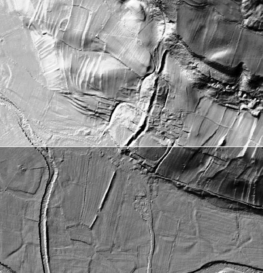 Fremington Lidar image. © Environment Agency copyright 2013. All rights reserved. R. Swale at the bottom left and right corners and the Fremington Dyke earthwork standing out in the centre of the image going in a NNE direction, with Fremington village clustered on either side of the dyke in the centre. The fields systems and ridge and furrow ploughing can be seen surrounding the village. |
||